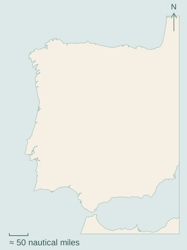
Galicia’s rías bring the sea inland between hills and fishing towns. A marina can sit beside a market or an old stone waterfront, with islands towards the mouth of the inlet. South along Portugal, river mouths and coastal ports are more widely spaced. The Algarve, Cádiz and the Mediterranean shore open into another set of bays, island waters and cities.
Choose a numbered marker to open a guide.Map source and scale
Arrive beneath A Coruña’s Roman lighthouse, then explore rías that lead into fishing towns, naval history and quieter shores. Beyond the Ártabro Gulf, great headlands give way to the Cantabrian coast and Ribadeo’s shared waters with Asturias.
Four rías carry the Atlantic into Galicia: Muros’s stone waterfront, Arousa’s mussel farms and market towns, Ons and Combarro in Pontevedra, then Cíes and Vigo’s working harbour. Islands, ferries and cultivated shores give each inlet its own character.
From Viana’s cod-fleet history and the Douro’s wine trade to Aveiro’s lagoon, Berlengas, Lisbon and the Sado. Open-coast passages link distinct landfalls, with Sines below its old town before the coast turns towards the Algarve.
Follow the changing south coast: Lagos’s limestone cliffs, Olhão and Culatra’s tidal islands, the Guadiana border river and Cádiz’s trading history. Beyond Gibraltar, Málaga’s beach boats and Almería lead to volcanic Cabo de Gata.