Cartagena to Valencia

Spanish Mediterranean mainland

A Roman theatre above the harbour. A second sea behind the beach. Fishing boats beneath a limestone mountain, and islands waiting offshore.

Between Cartagena and Valencia, the mainland keeps changing its scale and character. Naval cities give way to lagoons; broad resort beaches narrow into rocky coves; old trading ports look east toward the Balearics. There is as much to discover around these harbours as between them.

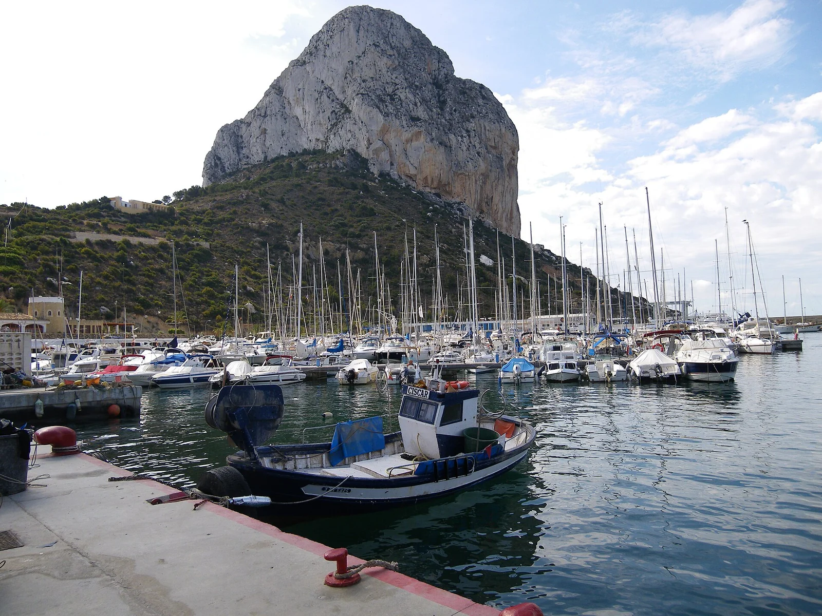
Fishing boat, yacht masts and the steep limestone face of the Peñón de Ifach
Fishing boats and yachts below the Peñón de Ifach at Calpe. June 2011.
Photo: chisloup

chisloup / Wikimedia Commons · CC BY 3.0

Six ways into the coast

Cartagena to Valencia: six coastal areasCartagena and Mar Menor are in the south. Alicante and Tabarca lie farther north, followed by Calpe and the mountain coast of Xàbia and Dénia. Valencia and L’Albufera are at the northern end.N123456Mainland SpainMediterranean
  1. 1
    Cartagena

    Roman, naval and mining history around one harbour.

  2. 2
    Mar Menor & Cabo de Palos

    A lagoon behind La Manga, a lighthouse facing open sea.

  3. 3
    Alicante & Tabarca

    Castle city and fortified island.

  4. 4
    Costa Blanca

    Fishing ports within a transformed holiday coast.

  5. 5
    Xàbia & Dénia

    Mountain capes, old trading ports and the Balearic connection.

  6. 6
    Valencia & L’Albufera

    City waterfront, fishing streets and the rice lagoon.

Map source

Overview coastline: Natural Earth, public domain. Local maps: © OpenStreetMap contributors, ODbL 1.0; composition by sol.blue, CC BY 4.0. Coastline data: Mar Menor and Marina Alta.

The coast sets a different rhythm

Tidal gates become less central here than on Atlantic coasts. Afternoon sea breezes, easterly exposure and summer heat have more influence on a cove stop or a walk ashore. The difference between a marina and an open roadstead becomes particularly apparent in onshore weather. AEMET’s Valencia and Murcia coastal forecast covers the named coastal sectors.

1

Cartagena and the Costa Cálida

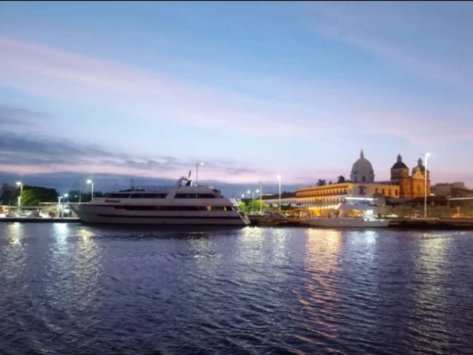
The harbour explains the city: enclosed water, hills at the entrance, and a waterfront where antiquity still shares space with a working naval port.

Yachts and illuminated waterfront buildings in Cartagena at dusk
Cartagena’s illuminated waterfront from the quay. May 2023.
Photo: Mateo Fdz

Mateo Fdz / Wikimedia Commons · CC BY-SA 4.0

A harbour worth keeping

Carthaginians established their Iberian stronghold here; Rome took it and made Carthago Nova a major port. The same geography later served galleys, an arsenal and the Spanish Navy. Fortifications around the entrance and ships inside the basin make that continuity visible before the first walk ashore.

Above the waterfront, the Roman theatre opens into the slope beneath the old town. The Punic Wall and Roman Forum give other ways into the ancient city, while Calle Mayor brings polished stone, cafés and the elaborate façades of a later mining boom. These layers sit close together: Cartagena’s streets lead from archaeology into an inhabited, working city. Explore the city’s museums and monuments.
From galleys to an electric submarine

Isaac Peral, born in Cartagena, designed a pioneering electric submarine in the nineteenth century. The restored vessel in the Naval Museum’s dedicated hall gives the city’s maritime history a quite different scale: machinery, confined spaces and the ambition to navigate underwater. Nearby ARQUA, the National Museum of Underwater Archaeology, approaches the sea through the objects ships left beneath it.

East of the city, La Unión and Portmán connect the waterfront to the Sierra Minera. Mining brought ore to the coast and wealth to the towns; La Unión’s iron-and-glass market became the setting for the Cante de las Minas flamenco festival. These are shore excursions into the landscape behind the port, with mining’s environmental legacy as well as its architecture.

2

Mar Menor and Cabo de Palos

La Manga stretches between two very different waters: a shallow salt-water lagoon to the west and the open Mediterranean to the east. At its southern end, Cabo de Palos brings cliffs, a lighthouse and a landscape of reefs below the surface.

Mar Menor, La Manga and Cabo de PalosMar Menor lies behind La Manga. Tomás Maestre is beside the Estacio canal in the north of the strip; Cabo de Palos is at its southern end.NABCMar MenorMediterraneanLa Manga
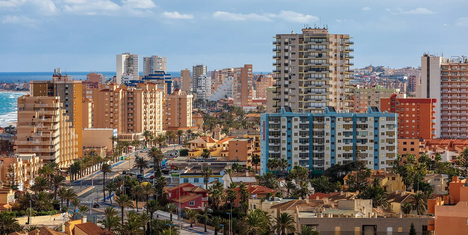
Apartment buildings along the narrow strip of La Manga viewed from Monte Blanco
La Manga from Mirador de Monte Blanco: the built-up strip between the two waters. January 2022.
Photo: Ximonic (Simo Räsänen)

Ximonic (Simo Räsänen) / Wikimedia Commons · CC BY-SA 4.0

A second sea behind the beach

The roughly 22 km ribbon of La Manga is narrow enough for the lagoon and open sea to appear in the same view. Behind it, low shores and warm, enclosed water have supported a strong dinghy-sailing and watersports culture. Los Alcázares and the settlements around the lagoon face a different horizon from the yachts passing outside: land and islands interrupt the water in almost every direction.

This landscape also carries a serious ecological crisis. Excess nutrients have driven eutrophication and episodes of oxygen loss and fish mortality. The official recovery programme tackles pressures across the catchment, including nutrient inputs, damaged habitats and mining residues. Clear-looking water on a particular day does not establish that the lagoon has recovered.

Cabo de Palos: fishing above, wrecks below

The lighthouse and rocky promontory mark the change back to open water. Around the small fishing harbour, diving boats and restaurants share the waterfront. Offshore, the reefs of the Cabo de Palos–Islas Hormigas reserve carry both marine life and wreck history: the underwater relief that threatened ships now draws divers. A walk to the lighthouse gives the larger geography; a locally guided dive reveals another landscape altogether.

The fishing harbour is a shore destination, not a promised visitor berth. Reserve access, diving and anchoring have different conditions: use the marine-reserve authority’s current information. The offshore islets are not interchangeable with a free anchorage or landing place.

3

Alicante and Tabarca

A fortress above a city bay, then a tiny walled settlement surrounded by sea. Alicante and Tabarca make a particularly revealing pair.

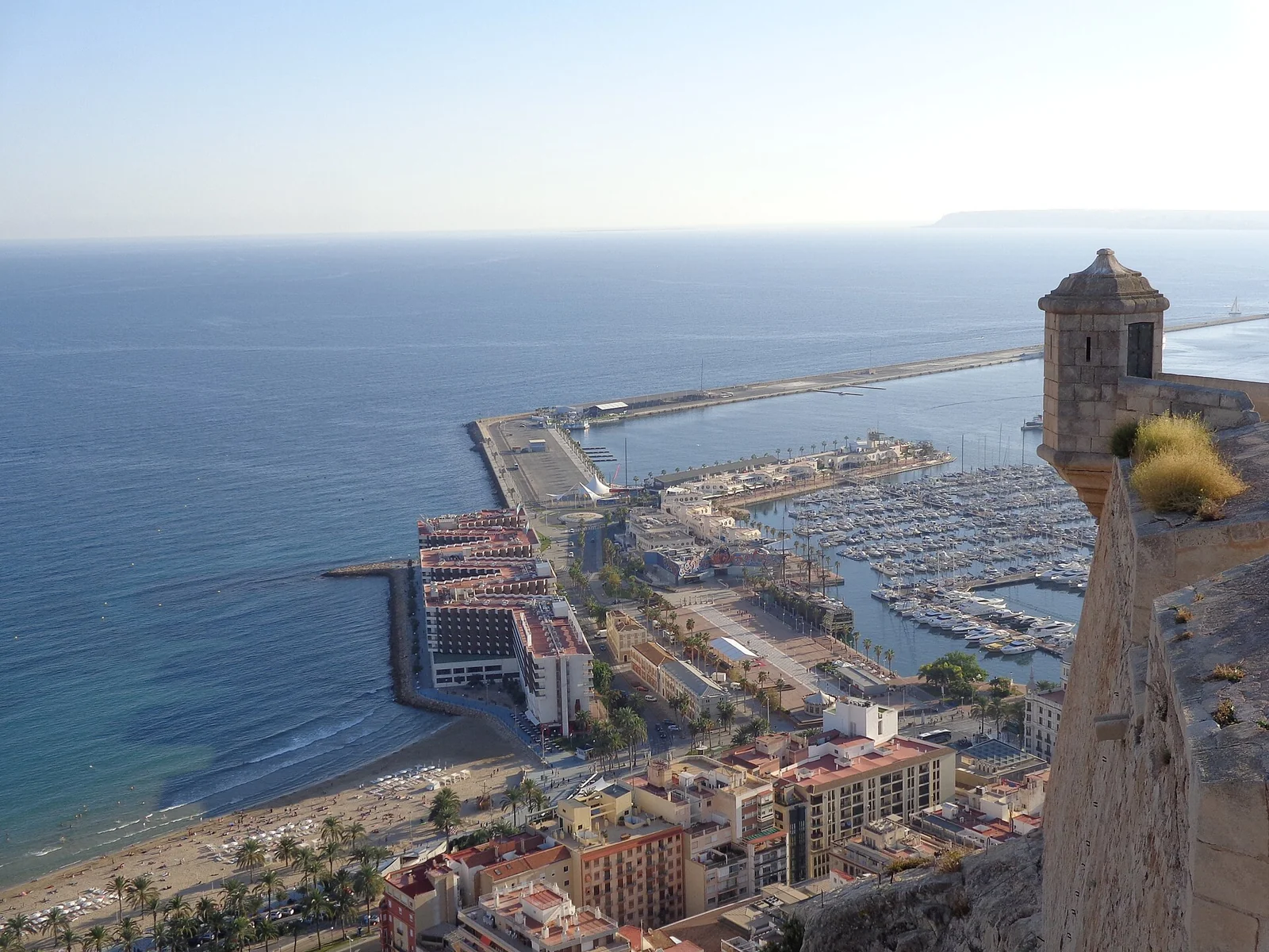
Alicante’s city and marina below the walls of Santa Bárbara Castle
Alicante’s harbour seen from Santa Bárbara Castle. October 2014.
Photo: Superchilum

Superchilum / Wikimedia Commons · CC BY-SA 4.0

The view belongs to the castle

Santa Bárbara rises on Monte Benacantil above the waterfront. Its position makes the old relationship between fortress and sea immediately clear: the bay and its approaches lie spread below. Walk into the old town’s narrow streets and the Santa Cruz quarter, or follow the palm-lined Explanada beside the harbour before climbing to the castle. The view back down connects city, beaches and port.

On the waterfront, The Ocean Race brings a more recent maritime identity: a departure city for round-the-world racing and a museum devoted to life at sea. The old lookout and modern ocean sailing occupy the same bay. Between them are everyday pleasures close to a city berth: market shopping, tiled promenades and streets that become more inviting as the afternoon heat eases.

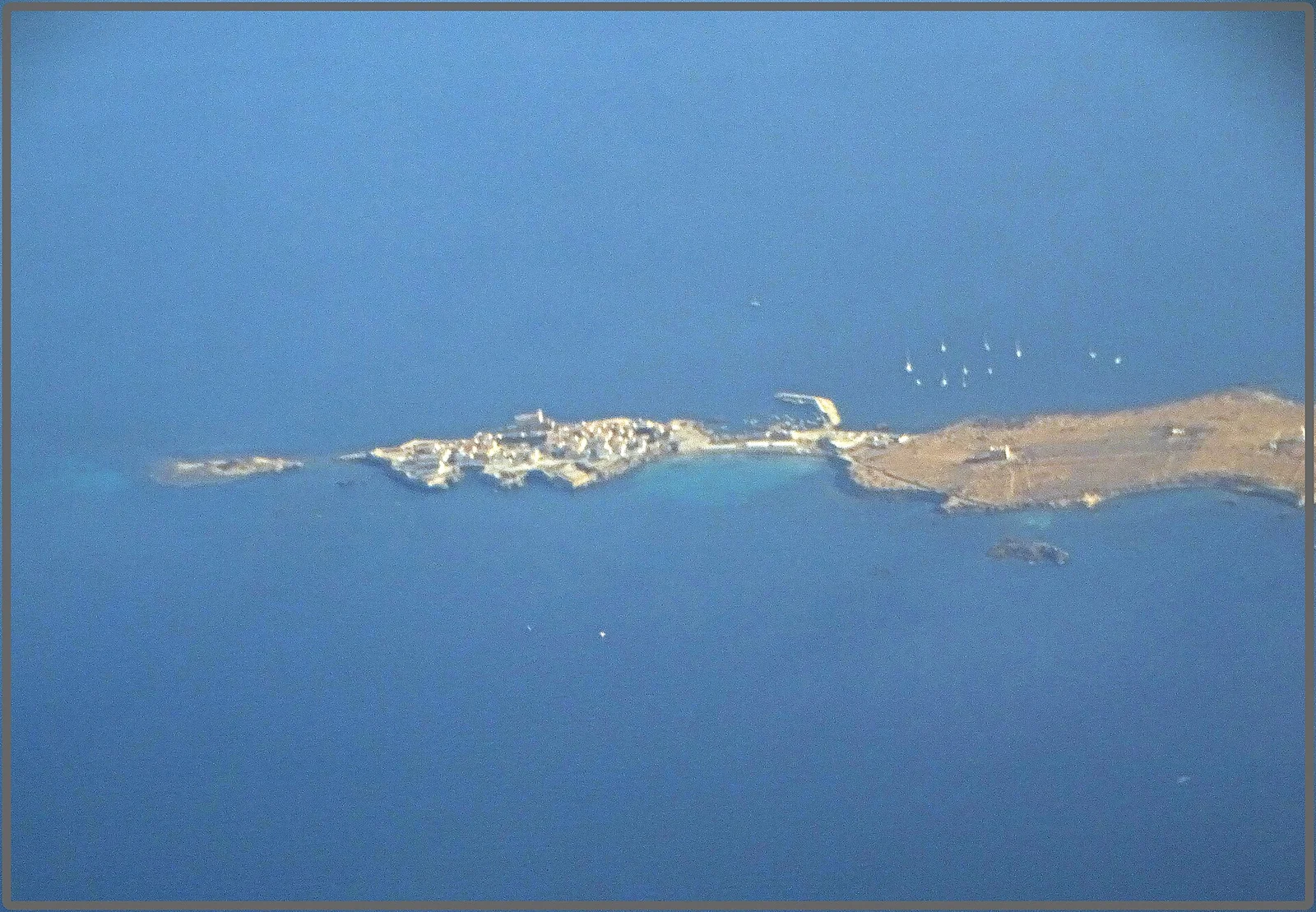
Aerial view of Tabarca’s walled village and low eastern island surrounded by blue sea
Tabarca from the air: the compact village and low island beyond. July 2019.
Photo: Jose A.

Jose A. / Wikimedia Commons · CC BY 2.0

Tabarca: Genoa, Tunisia and Spain on one small island

Tabarca lies about 11 nautical miles from Alicante, close to Cape Santa Pola. In the eighteenth century, Charles III fortified the island and settled Genoese fishing families freed from captivity at Tabarka in Tunisia. The walls and compact streets give that extraordinary movement across the Mediterranean a place you can walk around. Beyond the village, the island opens into a low, exposed landscape of stone and sea.

The island museum fills in the settlement story; the harbour and restaurants keep fishing visible on the plate, including the local caldero, a fish-and-rice dish. Passenger boats from Alicante and Santa Pola offer a straightforward shore visit while the yacht stays in a mainland berth. The local visitor guide lists crossings and island services.

The surrounding waters became Spain’s first marine reserve in 1986. Posidonia meadows and fishing are part of its purpose, not just a backdrop to swimming. For a visit with your own or chartered yacht, anchoring and other permitted uses depend on the reserve’s zones; use the official rules. The village harbour is not presented here as an overnight yacht marina.

4

The changing Costa Blanca

Fishing harbours, apartment skylines and the Peñón de Ifach belong to the same coast. From the water, the changes of the last century are impossible to miss.

The fishing coast inside the resort coast

Villajoyosa’s coloured houses bring the older maritime town to the beachfront. Farther north, Benidorm’s towers form a very different skyline. Both are part of the coast’s story: fishing and trading settlements grew into places connected to the rest of Europe by roads, railways and holiday flights. The harbour towns still have their own streets, markets and working waterfronts beneath that larger transformation.

At Calpe, the Peñón de Ifach rises 332 m almost from the water. Fishing craft and yacht masts gather below the rock, with the resort town behind. The fish market gives the place another scale altogether: boxes, ice, unloading and the auction. Before the harbour existed, fish were sold on La Fossa beach and carried inland in baskets by mule. The local account of the fish auction connects the modern waterfront to that older economy.

The waterfront is the natural starting point for exploring Calpe. The rock remains the dominant landmark even from the promenade, while the old town lies away from the fishing basin. Villajoyosa and Altea offer other shore visits along this stretch; they need not compete with the cities for scale to be worth exploring.

5

Marina Alta: Xàbia and Dénia

Here the mountains come down to the water. Montgó, Cabo de San Antonio and Cap de la Nau give the coast a more intricate shape, with two old ports on either side of the headland.

Dénia, Xàbia and the mountain headlandsDénia lies north of Cabo de San Antonio, Xàbia to its south. Cap de la Nau projects east farther south.NABMontgóCabo de San AntonioCap de la Nau
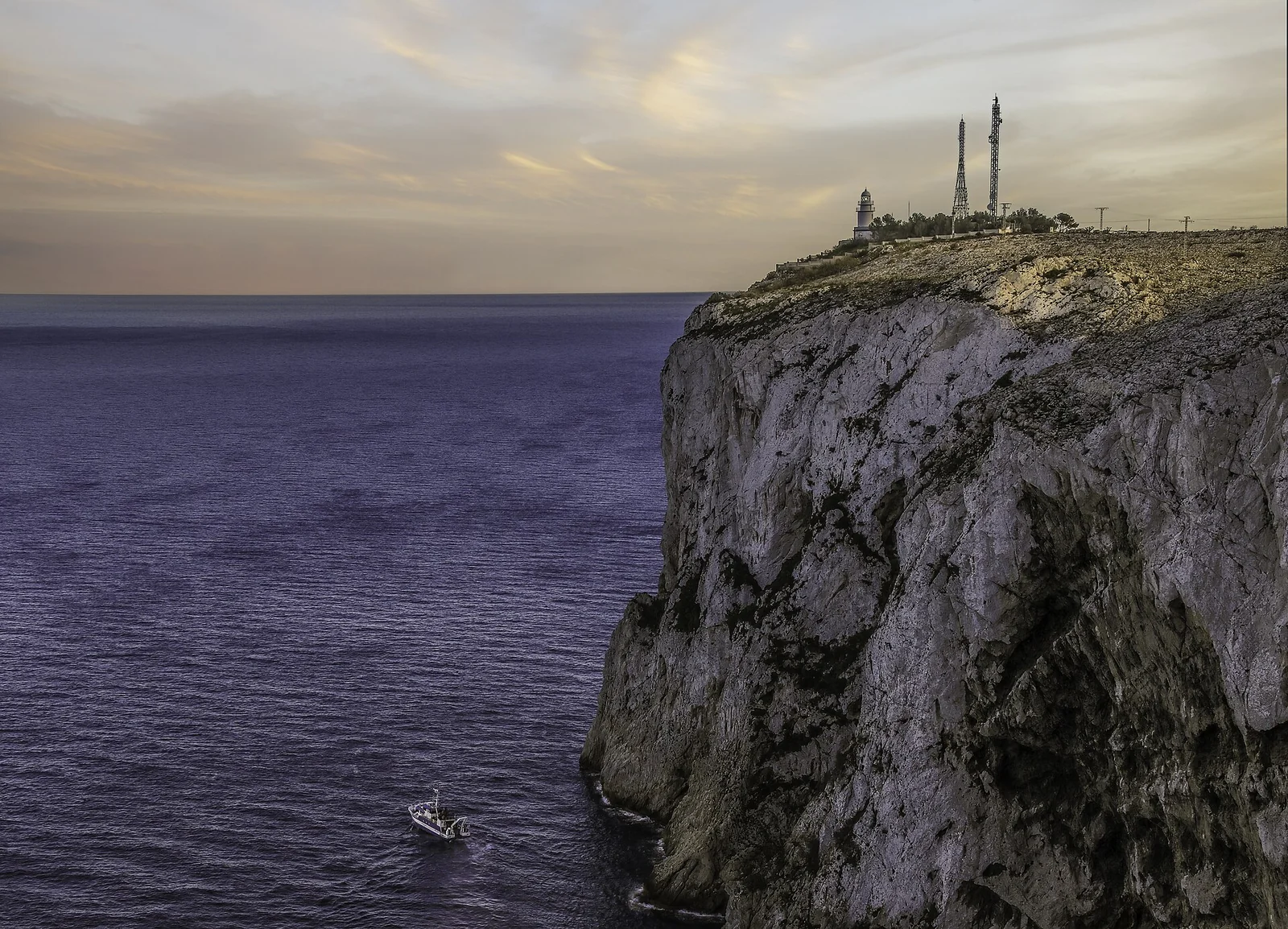
A small sailing boat below the high limestone cliffs and lighthouse of Cabo de San Antonio
Cabo de San Antonio between Xàbia and Dénia. February 2020.
Photo: Werner Wilmes

Werner Wilmes / Wikimedia Commons · CC BY 2.0

Xàbia: an export port with a fishing quarter

Xàbia, also signed Jávea, has several centres. Duanes de la Mar is the maritime quarter beside the port; the old town sits farther inland, while the Arenal has its own beach and promenade. In the nineteenth century, the port prospered through raisin exports. When that trade declined, fishing became more prominent, leaving a neighbourhood whose history reaches well beyond summer visitors.

The church of Nuestra Señora de Loreto is an unexpected landmark among the port streets. Its bold concrete forms and hull-like interior bring the shape of a boat into a modern place of worship. From the waterfront, the headland above supplies the larger setting: pale cliffs, the lighthouse and the shoulders of Montgó behind.

Around Cabo de San Antonio and the calas toward Cap de la Nau, exposure and protected seabed make the choice of a bay location-specific. Cabo de San Antonio reserve information belongs alongside any anchoring decision.

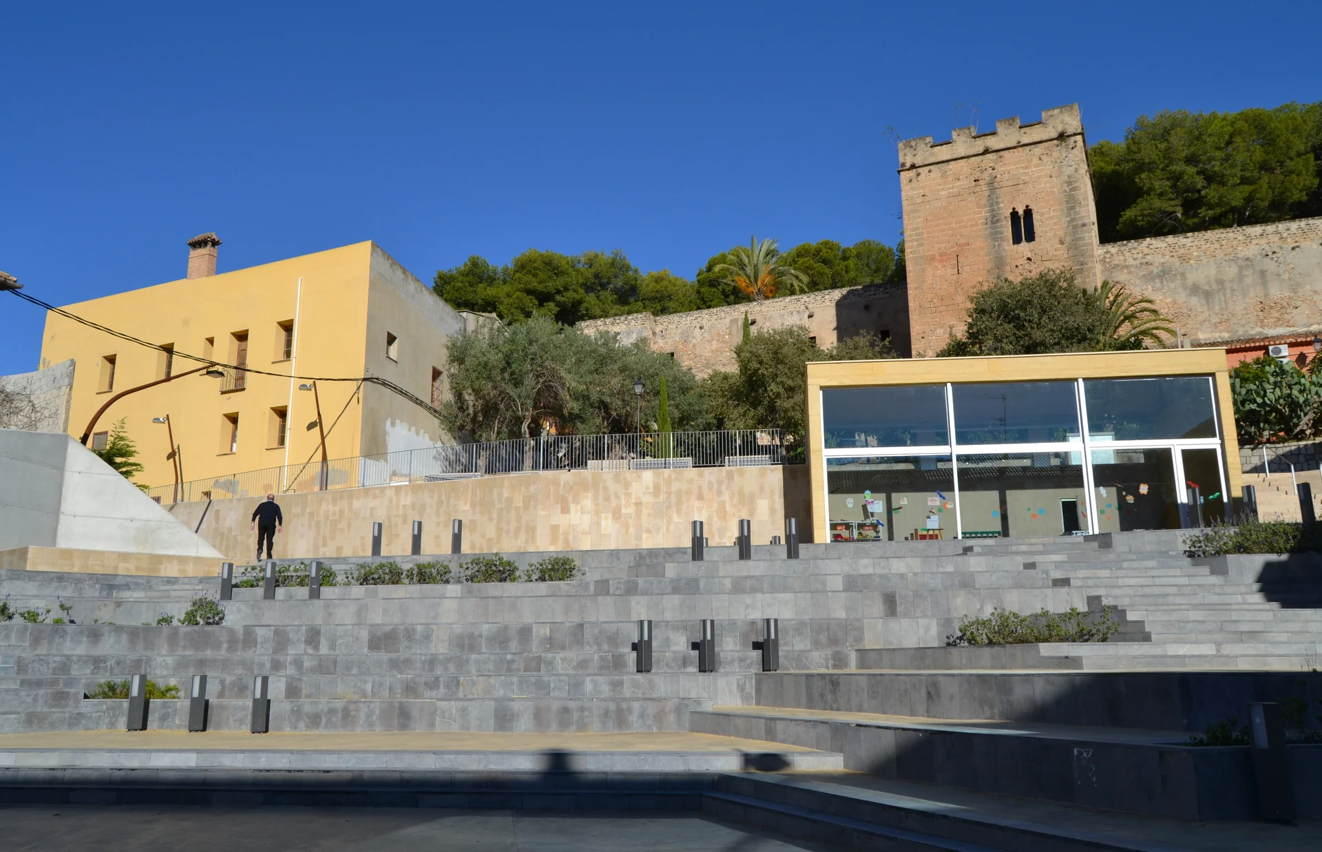
Plaça del Consell and surrounding buildings in Dénia
Dénia’s Plaça del Consell, below the castle quarter. November 2012.
Photo: Joanbanjo

Joanbanjo / Wikimedia Commons · CC BY-SA 3.0

Dénia has always looked out to sea

The castle looks across a harbour shared by fishing boats, ferries and yachts. Roman Dianium became, centuries later, the maritime taifa of Daniya: an independent Islamic state with a fleet and trading links across the Mediterranean. In 1580, Cervantes landed here after captivity in Algiers. The city’s history repeatedly leads away from Spain and back across the same water.

A later reinvention came with the raisin trade. Warehouses, merchants and ships connected the Marina Alta’s vineyards with northern markets. Walk from the castle streets toward Baix la Mar, the old fishing quarter, and these successive roles become easier to picture: fortified town, export port, fishing settlement and today’s busy ferry gateway.

Dénia also makes the Balearics tangible. About 55–60 nautical miles of open water separate it from western Ibiza. The Ibiza and Formentera guide opens that island world; north along the mainland, Valencia offers an entirely different destination. Both choices begin from a port with a long history of looking beyond its own coast.

6

Valencia and L’Albufera

A great commercial port, an international sailing waterfront and streets built by fishing families. Just south, the coastline opens into rice fields and a lagoon crossed by traditional boats.

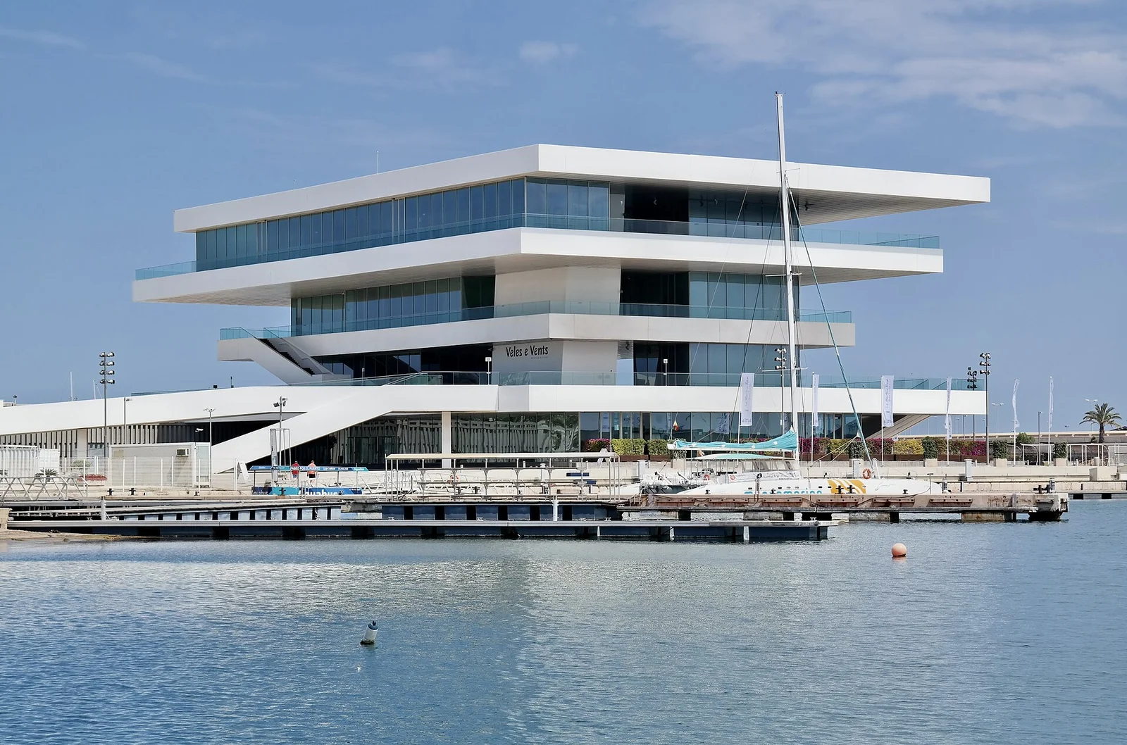
The white horizontal terraces of Veles e Vents above Valencia’s waterfront
Veles e Vents beside Valencia’s marina basins. May 2014.
Photo: Choinowski

Choinowski / Wikimedia Commons · CC BY-SA 4.0

A waterfront with more than one life

Valencia’s America’s Cup redevelopment reshaped the old harbour for the 2007 event. Veles e Vents, with its broad white terraces, became a conspicuous new landmark among historic port buildings and sailing basins. The vast commercial port continues beyond: the scale of the working city remains part of the view from a yacht.

The city beach and promenade are close to the marina district; the historic centre is a separate urban outing. That distinction makes the waterfront worth exploring in its own right. Warehouses, old port architecture and today’s public spaces show how sailing has helped change the harbour without removing its commercial neighbour.

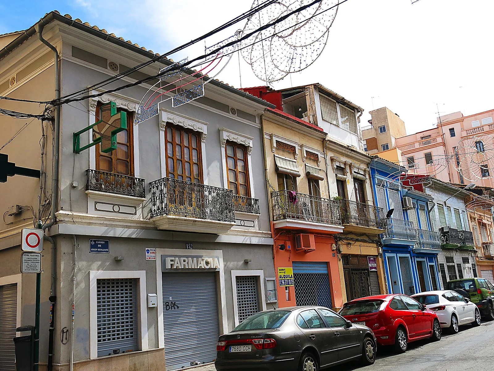
Low houses with balconies and tiled façades on a street in El Cabanyal
Houses on Carrer de Josep Benlliure in El Cabanyal. March 2016.
Photo: Enric

Enric / Wikimedia Commons · CC BY-SA 4.0

Cabanyal: the fishing city on foot

El Cabanyal and Canyamelar grew as maritime settlements outside the old city. Low houses, tiled façades and streets parallel to the shore preserve a different scale from the port. The neighbourhood is changing, but its fishing past remains legible in the buildings and the Cabanyal market, where the fish counters connect a walk ashore with the surrounding sea.

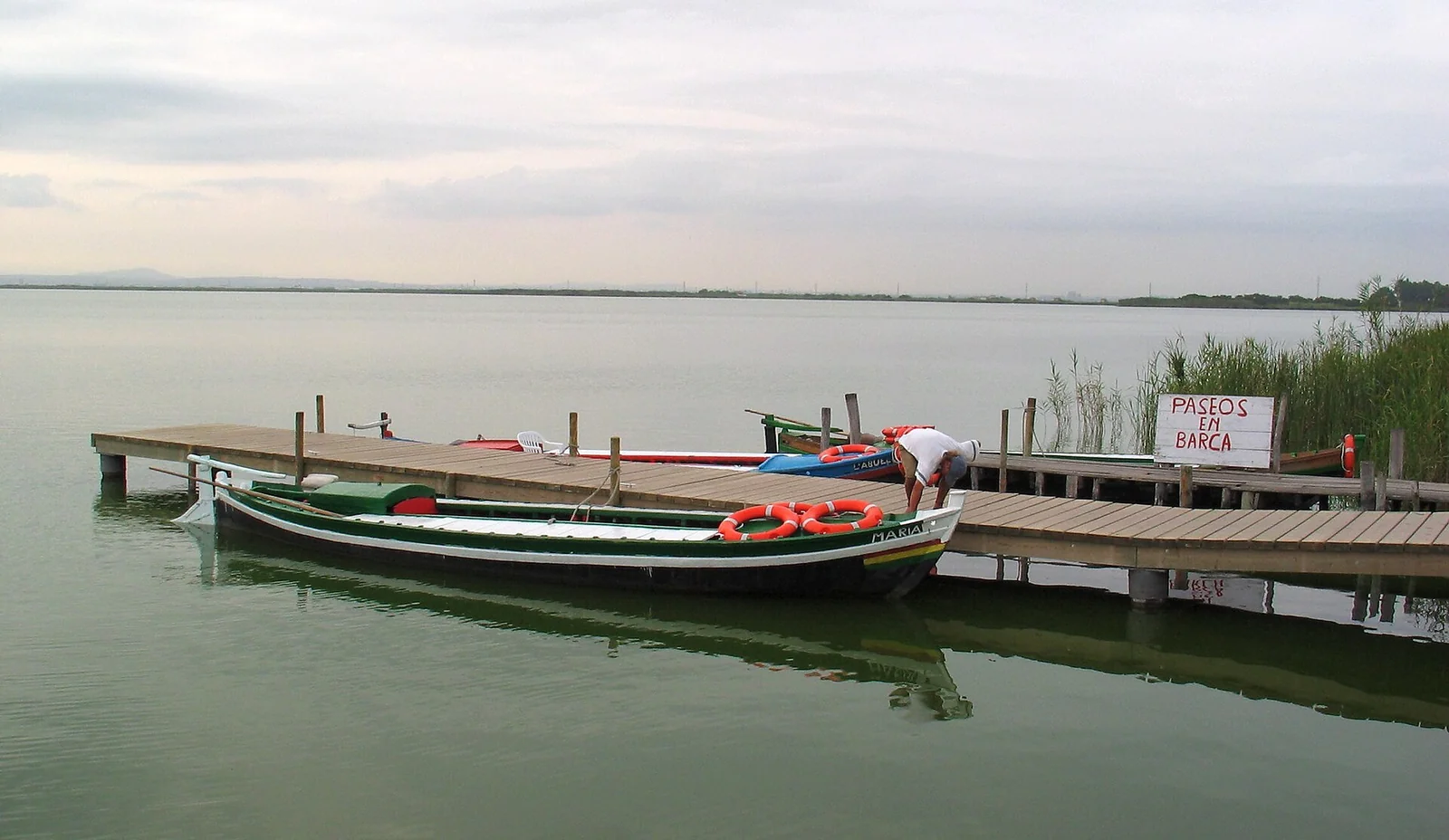
Painted wooden boats moored beside reeds on L’Albufera
Traditional shallow-water boats on L’Albufera. August 2004.
Photo: Tobias Maschler (Plochingen, Germany)

Tobias Maschler (Plochingen, Germany) / Wikimedia Commons · CC BY-SA 3.0

The rice lagoon beyond the port

South of Valencia, L’Albufera changes the scene again. A shallow lagoon, reedbeds, rice fields and the wooded coastal strip of La Devesa belong to the same landscape. El Palmar offers traditional boat trips and rice restaurants; the water and fields explain why paella belongs here. This is a shore excursion from the yacht, using local lagoon boats rather than taking a cruising yacht inland.

Fishing has its own long institutions here. The fishermen’s community traces its legal history to 1250; the annual redolí draw allocates fishing places. Eels and mullet, shallow wooden boats and inherited fishing rights belong beside the rice story. The municipal park routes connect the lagoon with dunes, woods and viewpoints, while the park’s interpretation explains the fishing culture.

More mainland, or out to the islands

From Dénia and Valencia, the Balearic Islands open another set of harbours and island coasts. North on the mainland lie Castellón and, beyond it, Catalonia, Barcelona and the Costa Brava. This guide’s detailed coverage ends at Valencia; the coast through Castellón is not yet covered.

Southwest, the Andalucía guide reaches Cabo de Gata. The intervening coast toward Cartagena includes Águilas and Mazarrón; they are outside this page’s detailed harbour coverage.

Back to Mediterranean Spain