Ibiza and Formentera
Dalt Vila rises above Eivissa’s harbour; on Formentera, La Savina connects the waterfront with salt landscapes and cycle routes. The guide also covers the mainland connections to Dénia, Xàbia and Altea.
Read the guideA closer look
Palma’s city waterfront, the mountain coast at Sóller, Ibiza’s old town and the harbour at Maó: the Balearics change character from island to island, and from one coast to another.
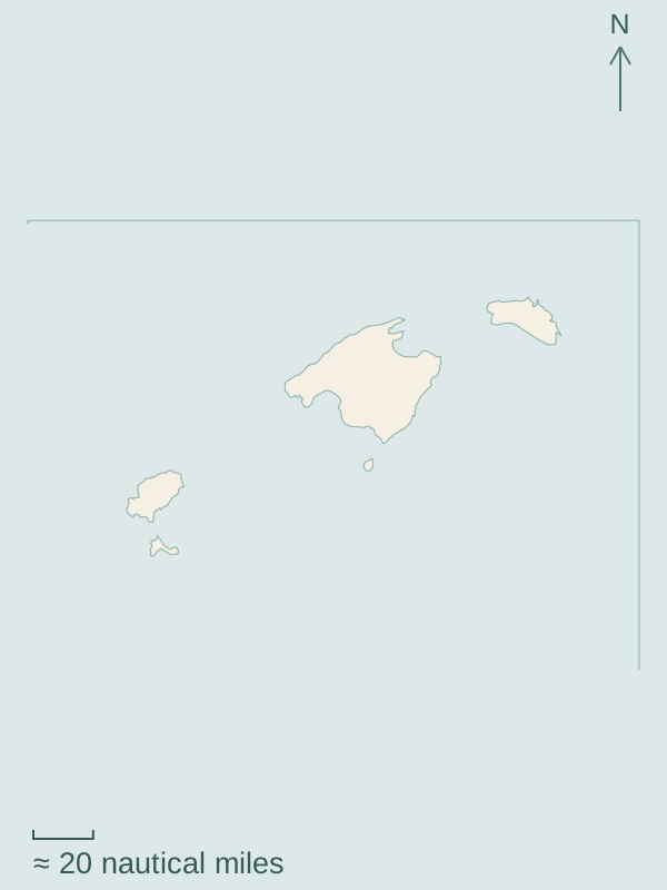
Coastline: Natural Earth 1:10m, public domain. Mercator projection; region labels and design by Sophie.
The guides follow three parts of the archipelago: Mallorca, Menorca, and Ibiza with Formentera. Mainland connections appear with the islands they approach.
Dalt Vila rises above Eivissa’s harbour; on Formentera, La Savina connects the waterfront with salt landscapes and cycle routes. The guide also covers the mainland connections to Dénia, Xàbia and Altea.
Read the guidePalma’s city waterfront, Sóller below the Tramuntana, the separate northern bays and the eastern harbour towns. Markets, the port-to-town tram and beaches connect these different shores with life inland.
Read the guideMaó in the east, Ciutadella in the west, northern harbour villages and southern bays. Around Maó, the city waterfront and the garden on Illa del Rei belong to the same harbour landscape.
Read the guide