Port d’Andratx
Port d’Andratx is the harbour town; Andratx itself lies inland. The waterfront has walks among the boats and restaurants beside the water. Sant Elm is another village on this southwestern coast.
Balearic Islands
Around Mallorca, city waterfront, mountain coast and small harbour towns lead to different places ashore. Palma meets the sea in the southwest; the Tramuntana stands behind Sóller, while Pollença and Alcúdia occupy separate northern bays.
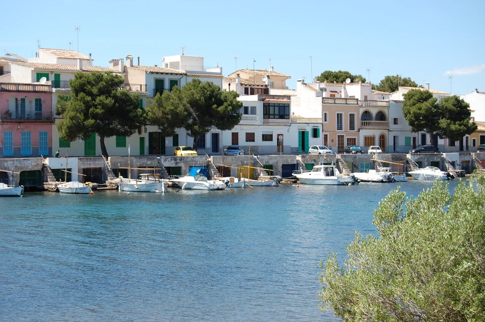
The southwest centres on Palma and Port d’Andratx. Along the western coast, mountains rise behind Port de Sóller. Pollença and Alcúdia sit on separate bays in the north; Portocolom and Portopetro are eastern harbour towns. Colònia de Sant Jordi is on the south coast, near Es Trenc’s beaches and the passenger-boat connection to Cabrera.
Palma’s marinas lie along the city waterfront. Santa Catalina’s food market, the old-town streets, the cathedral and Es Baluard are part of the city ashore. Farther west, Port d’Andratx has its own harbour life, while Sant Elm looks towards sa Dragonera. Road connections also link these places with Palma.
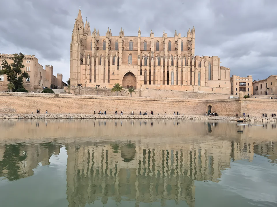
Port d’Andratx is the harbour town; Andratx itself lies inland. The waterfront has walks among the boats and restaurants beside the water. Sant Elm is another village on this southwestern coast.
Sant Elm’s beach looks across to sa Dragonera. Tourist boats from the village offer an island excursion; a yacht visit uses the permitted landing at Cala Lledó, which does not mean leaving the yacht alongside. The park’s dock-works notice gives a closure from 15 October without a year, so access to Cala Lledó remains the unresolved point for an island walk.
Sa Dragonera: access and notices ↗At Sant Elm’s regulated Posidonia buoy field, landing is by the boat’s own tender and someone must remain aboard under the public buoy terms. A walk ashore with the whole crew therefore needs another berthing arrangement. Those terms do not automatically apply to Andratx’s private buoys or Cabrera’s separate system.
PortsIB’s larger standard visitor berths booked online accept boats up to 15 m long and 4.46 m wide; Colònia de Sant Jordi has a smaller 12 × 4 m limit. These are limits of the online product, not dimensions for every berth in a harbour.
Bookings last up to five days and cannot be extended through successive reservations. The terms also prohibit two reservations in the same port within a period of six days or less. Longer berthing requires a different agreement.
The public Posidonia buoy terms are for favourable sea conditions and exclude use as a refuge. Their crew-presence and own-tender requirements matter when choosing an outing ashore.
PortsIB: dimensions and visitor berths ↗Public visitor-berth terms ↗Public buoy terms ↗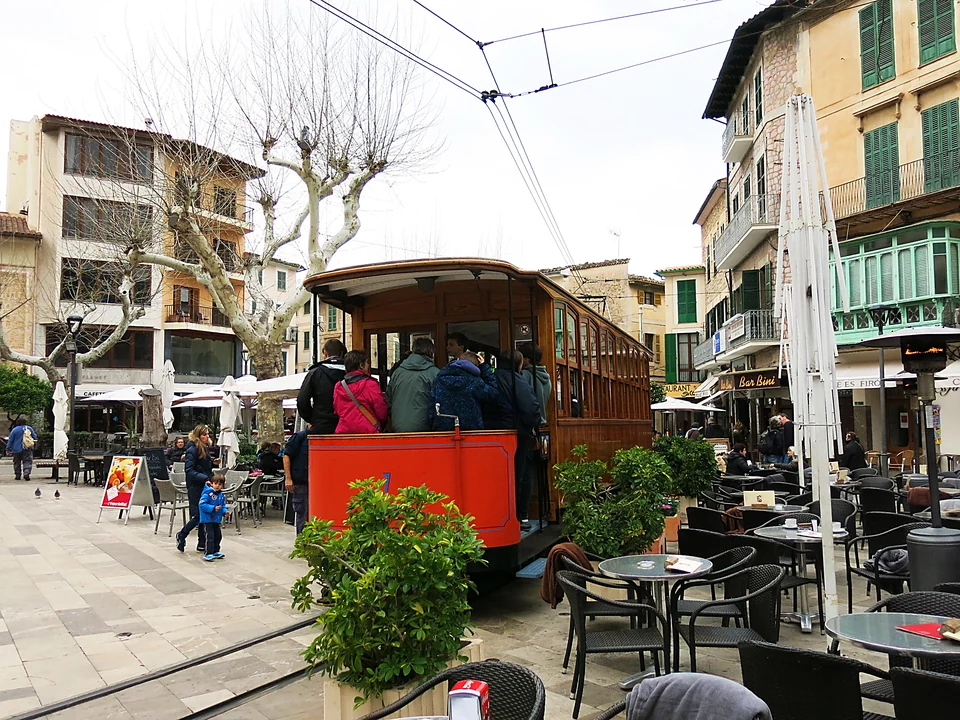
4 · Port de Sóller and Sóller
The Tramuntana rises behind Mallorca’s western coast and Port de Sóller. The waterfront promenade belongs to the port; the tram runs inland to Sóller, with its square, café tables and side streets.
From the southwest, the sea approach to Sóller follows the coast around the western headlands. The northern bays lie farther along the coast. On land, the train connects Palma with Sóller, and the tram continues between the town and Port de Sóller.
Train and tram timetables ↗PortsIB public visitor berths and private Marina Tramontana are separate choices.
Port de Pollença and Port d’Alcúdia sit on separate northern bays. Both have a waterfront and beaches, with an older town inland. The distinction between port and town matters here: Pollença’s streets and Calvari steps are inland from its harbour, while Alcúdia’s old town and Roman Pol·lèntia are beyond the beach and port.
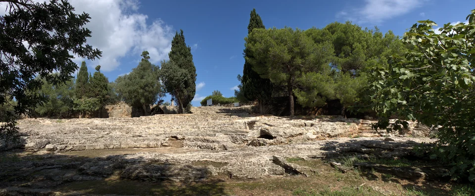
Port de Pollença has the bay and waterfront promenade; old Pollença lies inland. The Calvari steps are a steep climb, more comfortable before the heat of the day.
Beyond the port and beach lie the old town and Roman Pol·lèntia, with remains of houses, the forum and a theatre. Pol·lèntia belongs to Alcúdia; it is not the town of Pollença across the headland.
7–9 · East and south
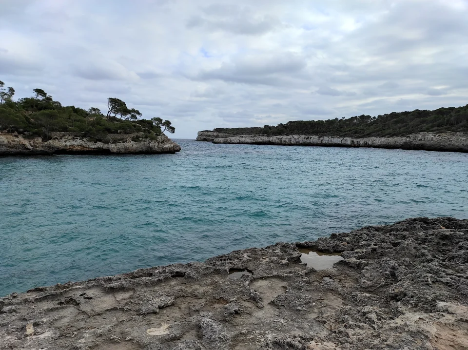
Portocolom’s low houses and small boats line a natural harbour, with waterfront walks and places for a fish meal ashore. Farther south, Portopetro is another harbour village, near Mondragó’s paths, wetland edges and beaches. The two towns belong to the same eastern coastal group. Mondragó’s appeal ashore does not establish an overnight anchorage.
Colònia de Sant Jordi is on Mallorca’s southern coast, near Es Trenc’s sand, dunes and wetlands. Road access also connects Portocolom, Portopetro and Colònia with the rest of the island.
Where anchoring is permitted, both anchor and chain must stay clear of Posidonia seagrass. The restrictions of the individual bay still apply; sand alone is not permission to anchor in a protected or regulated area.
Harbours in the east and south ↓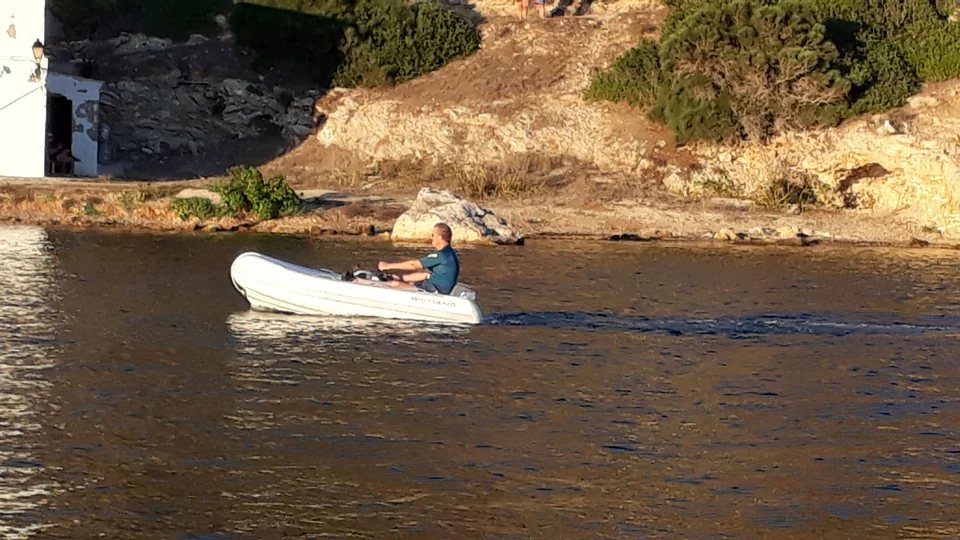
10 · South of Mallorca
Cabrera is a national park south of Mallorca, with walks along the bay and permitted park paths, and swimming in designated areas. The park reports that the castle is closed (checked September 2026).
A yacht visit requires navigation permission, plus a separate buoy reservation for an overnight stay. Anchoring is prohibited. Tender landings use the main dock in Port or the dock at Cas Pagès. Authorised passenger excursions also leave from Colònia de Sant Jordi.
Cabrera: visits and reservations ↗The mainland lies a different scale of passage away from Mallorca’s coastal harbours. The connections below approach Sóller on the west coast, Port de Pollença in the north and Santa Ponça in the southwest.
At an assumed average 5–6 knots, 104–110 nautical miles gives about 17–22 hours underway, before extra time for approaches and detours. That can include a night at sea. A return crossing depends on a suitable weather window in both directions.
Palma and Alcúdia are also points for joining a yacht or arranging boat work. Airport links lead to the town or port, with a final transfer to the marina.
From PMI, the A1 runs to the city centre, followed by a transfer to the chosen marina. A direct taxi is another option. STP is a separate yard for work and lifting; storage and care need their own agreement rather than being assumed from a marina booking.
Airport buses ↗STP: yard facilities ↗The seasonal A32 links the airport and Port d’Alcúdia, with a final transfer to the marina. Alcudiamar has both berths and a yard. Its published yard limits include a 150-tonne lift and 6.80 m maximum beam; preparation, lifting, storage and care require the relevant service agreement.
A32: timetables ↗Alcudiamar: yard facilities ↗Creator, capture date, source and licence appear beside each photograph.
Sophie maps with coastline from Natural Earth 1:10m, version 5.1.1.
Natural Earth: coastline data ↗Natural Earth: public-domain data ↗Sophie map design · CC BY 4.0 ↗