Channel and Atlantic France

Cruising grounds · Atlantic France

South Brittany.

Out to the islands.
Into the little sea.

Fortified fishing ports, islands open to the Atlantic, and the wooded waters of Morbihan. From Concarneau to Vannes, the coast changes character with every harbour mouth—and its sailing culture is part of everyday life.

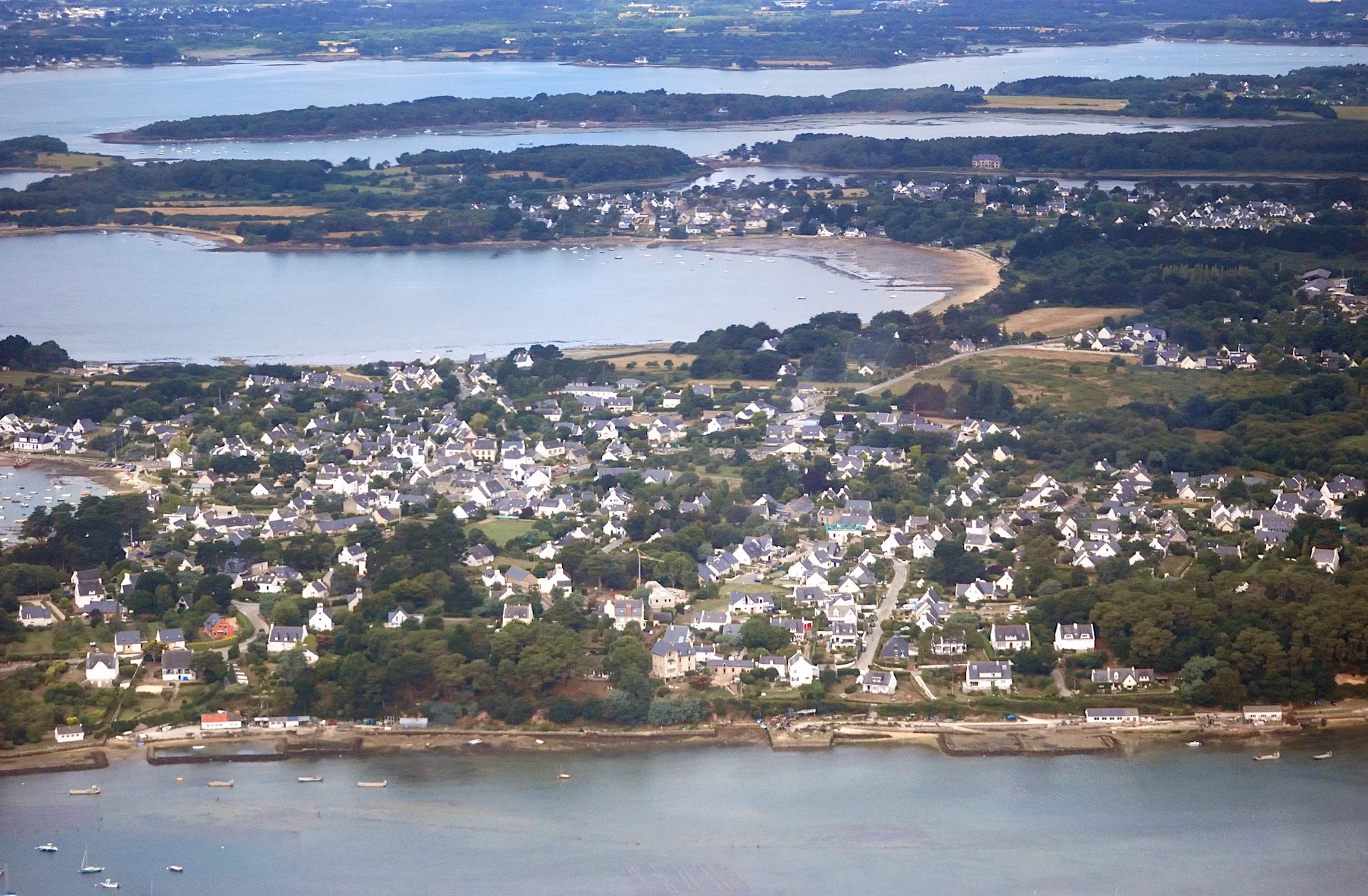
Aerial view of Larmor-Baden with wooded islands and branching stretches of water behind the village
Larmor-Baden and the wooded shores of Morbihan, seen from the west. 2013.
Photo: Lieven Smits

Mainland, outer islands, inner sea

Concarneau faces Glénan; Lorient has Groix just offshore. Farther east, Quiberon separates its Atlantic-facing coast from the bay, with Belle-Île, Houat and Hoëdic beyond. Through the entrance between Port-Navalo and Locmariaquer lies a different world: Morbihan, the Breton “little sea”.

South Brittany: mainland, outer islands and MorbihanConcarneau and Glénan in the west; Lorient and Groix; Étel; Quiberon and La Trinité; the outer islands; the Gulf of Morbihan and Vannes. Each labelled place group links to its chapter.ConcarneauGlénanLorientGroixÉtelQuiberonLa TrinitéBelle-ÎleHouat · HoëdicMorbihanVannesN ↑
Concarneau to Vannes, with the outer islands offshore.

Groix’s municipality gives about 7 nautical miles to Lorient, 21 to Belle-Île and 25 to Concarneau. These published inter-place distances convey the scale of the coast; the Gulf’s much shorter-looking connections are governed by its tidal streams.

Glénan also belongs to the seaward edge of our West Brittany guide. To the southeast, the Vendée, La Rochelle and Atlantic islands guide opens onto a different stretch of Atlantic France.

Concarneau and Glénan

A stone-walled town and a low archipelago of sand and clear water face one another across the bay. The mainland supplies the boats; the islands have helped teach generations how to sail them.

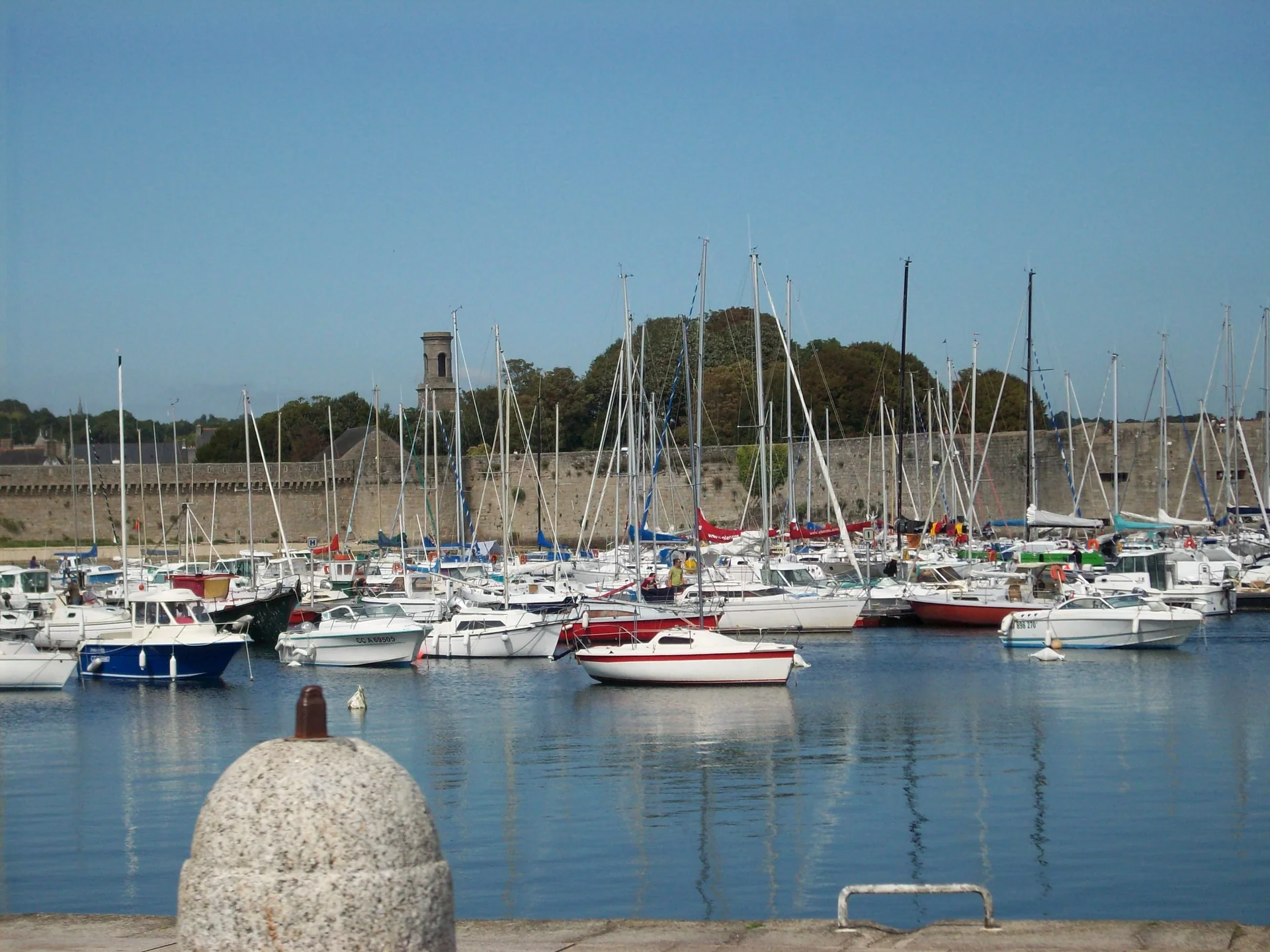
Sailing boats in Concarneau harbour, with a stone quay in the foreground and the town behind
Concarneau harbour, with the town behind. 2011.
Photo: Florent Pécassou

A fishing town around its walled island

Ville Close stands within Concarneau’s working harbour. From its ramparts, fishing and boatbuilding remain part of the view. Sardines and tuna once supported a dense network of canneries; the town’s maritime heritage walks give that industrial shore a history beyond the fortified streets. The market halls and quays put food shopping close to the boats.

The fishing museum is closed for refurbishment in the information checked in September 2026.
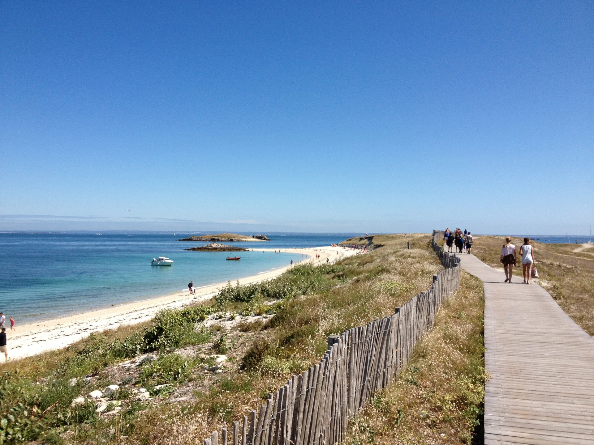
Walkers on a boardwalk beside pale sand and blue water on Saint-Nicolas in Glénan
Saint-Nicolas, Glénan: a boardwalk beside the water. 2013.
Photo: Orcaan

Where a sailing school became a culture

Glénan’s low shores make the water the main landscape: pale sand, rock, and blue-green shallows around the islands. In 1947, the founders of Les Glénans brought young people here; sailing connected their isolated island camp to its neighbours and the mainland. Shared work and volunteer teaching remain central to the school. The sails across this small seascape belong to a living tradition.

Saint-Nicolas offers a boardwalk, sand and open views across the archipelago. It is a place for a walk and time beside the water, with a very different shore life from Concarneau’s shops and quays.

Lorient and Groix

One harbour looks outward through shipyards, trading history and ocean racing; the island opposite carries the memory of a fishing fleet into its village streets.

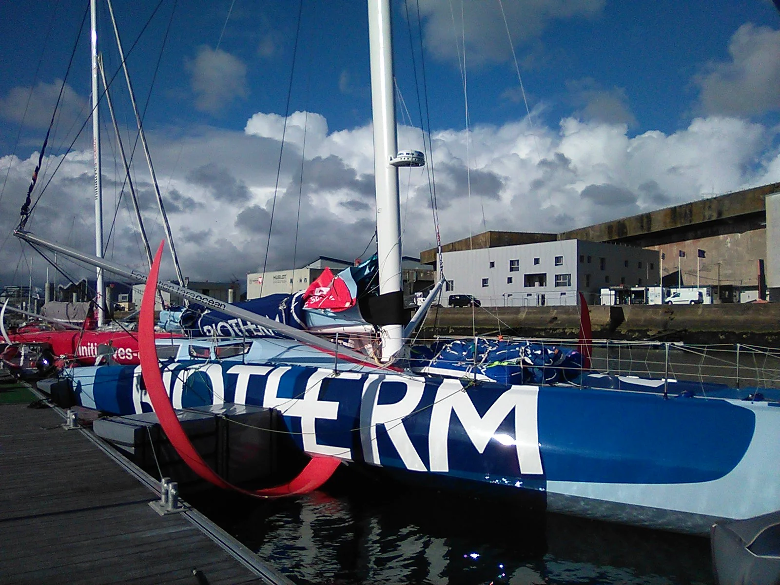
The racing yacht Biotherm with its red foil beside the concrete buildings of Lorient La Base
Biotherm at Lorient La Base before the Vendée Globe. October 2024.
Photo: Jug81

From the East India Company to La Base

Lorient grew around the French East India Company’s port in 1666. Its maritime landscape now reaches from the town marina to Keroman’s working waterfront. At La Base, the German submarine bunkers built during the Second World War stand beside today’s ocean-racing boats. Concrete walls, tall masts and projecting foils make the change of purpose visible.

Walk the waterfront for boats in port, or visit the Cité de la Voile Éric Tabarly for the world behind them. The guided K3 bunker visit explains the wartime base and reaches its roof. Exhibitions and guided visits are bookable experiences; working race-team premises are a separate matter.

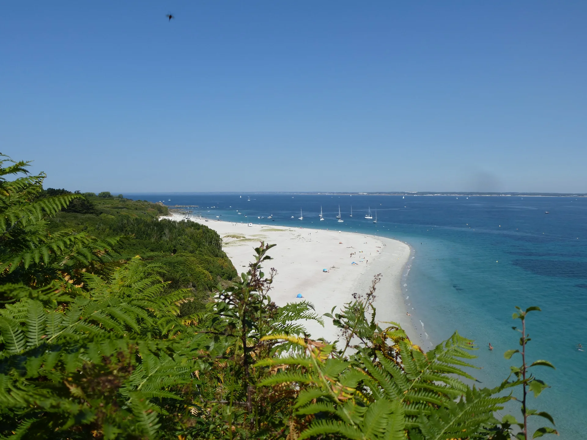
White sand curving between green coastal vegetation and blue water on Groix
The curve of Plage des Grands Sables on Groix. 2016.
Photo: chisloup

A tuna above the village

Port-Tudy is Groix’s everyday connection to the mainland, shared by ferries, fishing boats and visiting yachts. Climb towards the village and look up at Saint-Tudy church: a tuna turns above the roof. It is the emblem of the island’s fishing past. The village and island paths lead on to a rugged western coast and eastern beaches, including the pale curve of Grands Sables and sand coloured red by garnet.

Étel: behind the moving bar

Between Lorient and Quiberon, Étel opens into an inlet of oyster grounds, small islands and branching shores. Its narrow entrance gives little hint of the country behind it.

The town’s tuna-fishing past is told at the Musée des Thoniers. Farther inland, Saint-Cado and the shores of the ria offer stone houses, waterside paths and local oysters. From an Étel berth, those inland scenes can be explored ashore or by a local excursion boat; they are not all yacht destinations.

Quiberon and La Trinité

Quiberon is the coast’s hinge: Atlantic surf on the western side, the bay to the east, and the outer islands beyond its southern end. La Trinité lies at the head of the bay, in the Crac’h estuary.

Two shores, two harbours

A walk on the Côte Sauvage gives Quiberon its ocean-facing character; the eastern shore looks across the bay towards the mainland. Port Maria belongs to fishing and the island ferries. Port Haliguen is the yacht harbour, on the bay side, with its old quays and a different waterfront. The two ports are distinct arrivals, even when a rail or ferry ticket says simply “Quiberon”.

Racing masts and oyster shores

La Trinité’s sailing identity is tied to Éric Tabarly: Pen Duick II was built here before his 1964 solo transatlantic victory. Today, the racing boats and busy pontoons share their setting with the oyster-growing shores of the estuary. The waterfront leads into village streets; the coastal path around Kerbihan offers another view of the bay.

Belle-Île, Houat and Hoëdic

Beyond Quiberon, Belle-Île has the scale of a small country, with towns, valleys and a long ocean coast. Houat and Hoëdic bring the landscape down to villages, fishing harbours and paths across low islands.

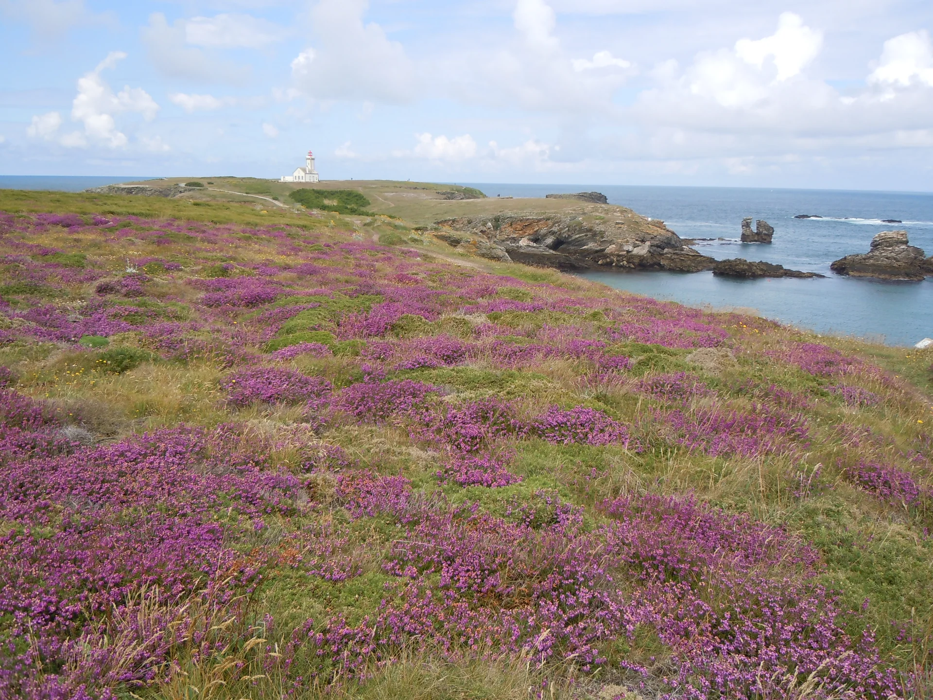
Purple heather above rocky bays and the lighthouse at Pointe des Poulains
Heather and coast at Pointe des Poulains on Belle-Île. 2012.
Photo: Patrice78500

Belle-Île: a citadel, a small harbour, a wild coast

The citadel above Le Palais gives arrival a formidable backdrop. Vauban strengthened an older fortress here; the port beneath it remains the island’s main gateway. Markets and shops lead inland from the waterfront. Sauzon offers a smaller harbour scene, with houses gathered around the tidal inlet. Beyond these inward-facing shores, Belle-Île’s Atlantic coast opens into cliffs, coves and exposed headlands.

From Sauzon, the hilly walk to Pointe des Poulains is 5.5 km. Heather and rock surround the headland where Sarah Bernhardt made her island retreat. A seasonal bus can support a one-way walk when its timetable fits.

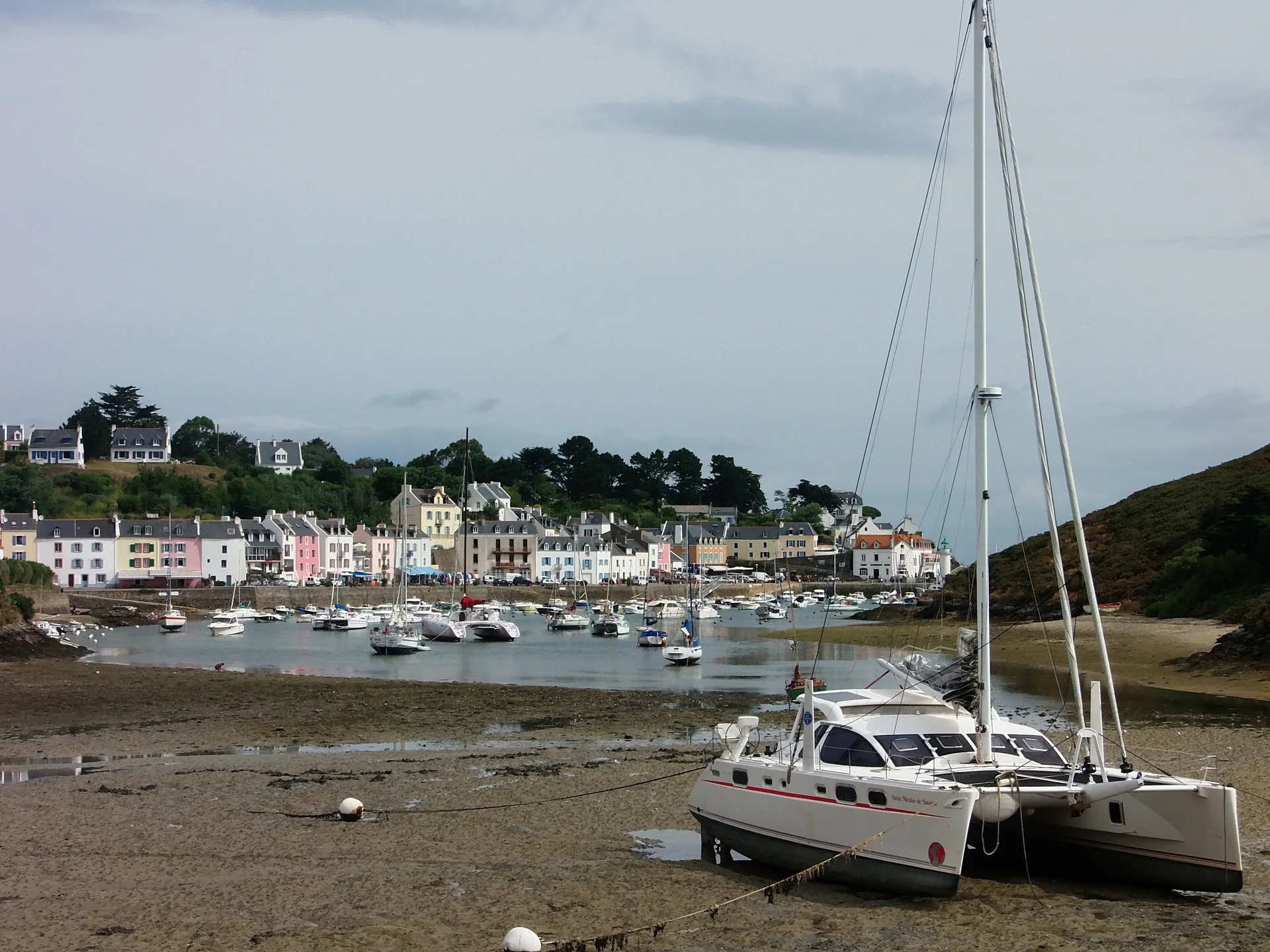
Le Palais separates outer-harbour, locked-basin and Saline visitor areas. Sauzon separates afloat moorings from drying berths. The basin and berth determine whether the boat remains afloat and when it can leave.

Boats resting on exposed mud in the foreground, with Sauzon's pastel houses across the harbour
Low tide at Sauzon, with drying berths. 2015.
Photo: Franck-fnba
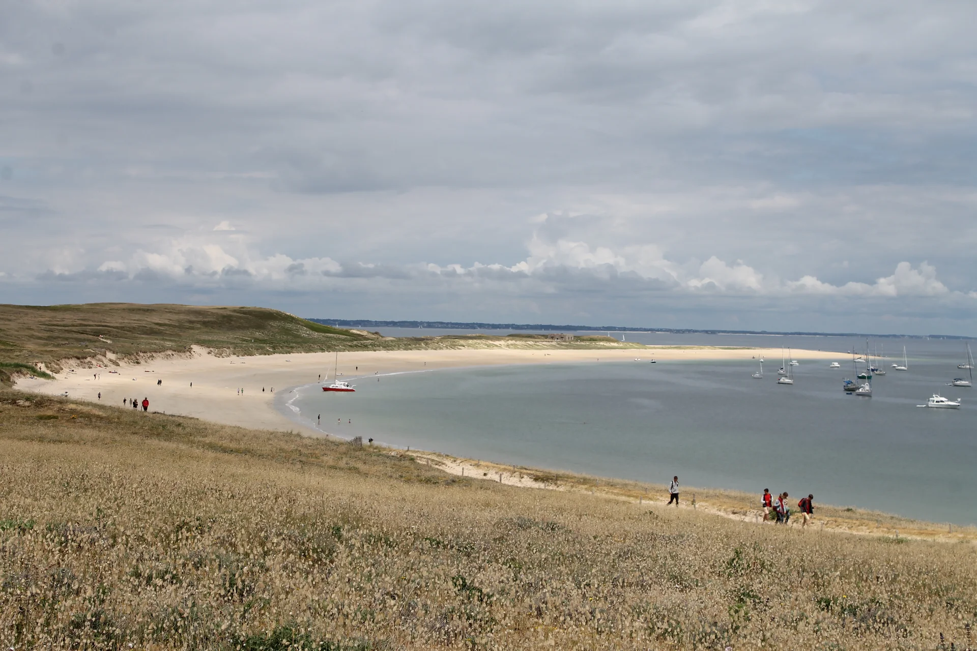
A wide sandy beach and curved bay seen from the grassy slope on Houat
Plage du Gouret on Houat. 2014.
Photo: Stéphane Batigne

Houat: the village behind the dunes

From the fishing harbour of Saint-Gildas, paths lead through the village and out towards broad sand at Gouret. Fishing still belongs to island life: boats and landing places are working parts of the shore. A village lunch and a stretch of coastal path give a different sense of the island from its beach alone.

Hoëdic: a village on a low horizon

Hoëdic is small enough for the sea to keep reappearing between village lanes, dunes and coastal paths. There are no cars to organise an outing around: the village, fort and beaches belong to a walking landscape. Its two harbours face different shores. Argol is on the north; La Croix is the old harbour to the south.

Through the gate into the little sea

At Port-Navalo and Locmariaquer, the Atlantic narrows to an entrance. Inside, horizons overlap: a wooded point, an island behind it, another reach of water beyond. Morbihan opens into oyster grounds, villages and rivers reaching towards Vannes and Auray.

The enclosure changes the swell, not the importance of the tide. Strong streams run through the entrance and the channels between islands; a short distance on the map can still mean waiting for the right stream. The regional park’s sea guide identifies protected shores, seagrass and island landing restrictions. Many small islands are private or protected, so an inviting beach does not necessarily offer a landing.

Inside the Gulf of MorbihanPort-Navalo marks the sea entrance in the southwest. Île aux Moines and Île d’Arz lie inside; the Auray River reaches northwest towards Le Bono and Saint-Goustan, while Vannes lies to the northeast.Saint-GoustanLe BonoVannesÎle aux MoinesPort-BlancÎle d’ArzPort-NavaloN ↑
The entrance, island shores and two inland arms of Morbihan.

Île aux Moines: paths between village and water

The island stretches south from its busy landing into wooded paths, small beaches and quieter points. Shops and cafés around the village make it an easy place to combine a meal ashore with walking. The mainland crossing starts at Port-Blanc; that landing and the island harbour occupy opposite shores of the same narrow stretch of water.

Île d’Arz: sailors, captains and a tidal mill

Arz’s maritime history reaches well beyond the Gulf. The village’s Marins et Capitaines museum follows island seafarers, while the restored Berno tidal mill shows how the same water powered life ashore. Low paths beside the water connect these visits with beaches and open island views.

The rivers towards Le Bono and Saint-Goustan

The western arm leads into the Auray River. Le Bono’s fishing heritage and Saint-Goustan’s quays place maritime life among wooded banks and inland streets. At Saint-Goustan, half-timbered houses rise above the old port and steep lanes climb towards Auray. Riverbank walks make these places worthwhile even when the boat stays farther down the Gulf.

The Gulf has its own working-boat shapes. Séné’s sinagots and Le Bono’s forbans carried generous sail on shallow hulls for local fishing. Surviving boats and replicas make that history visible on the water; the local heritage associations also offer sailing outings. It is another way to experience these waters from a boat built for them.

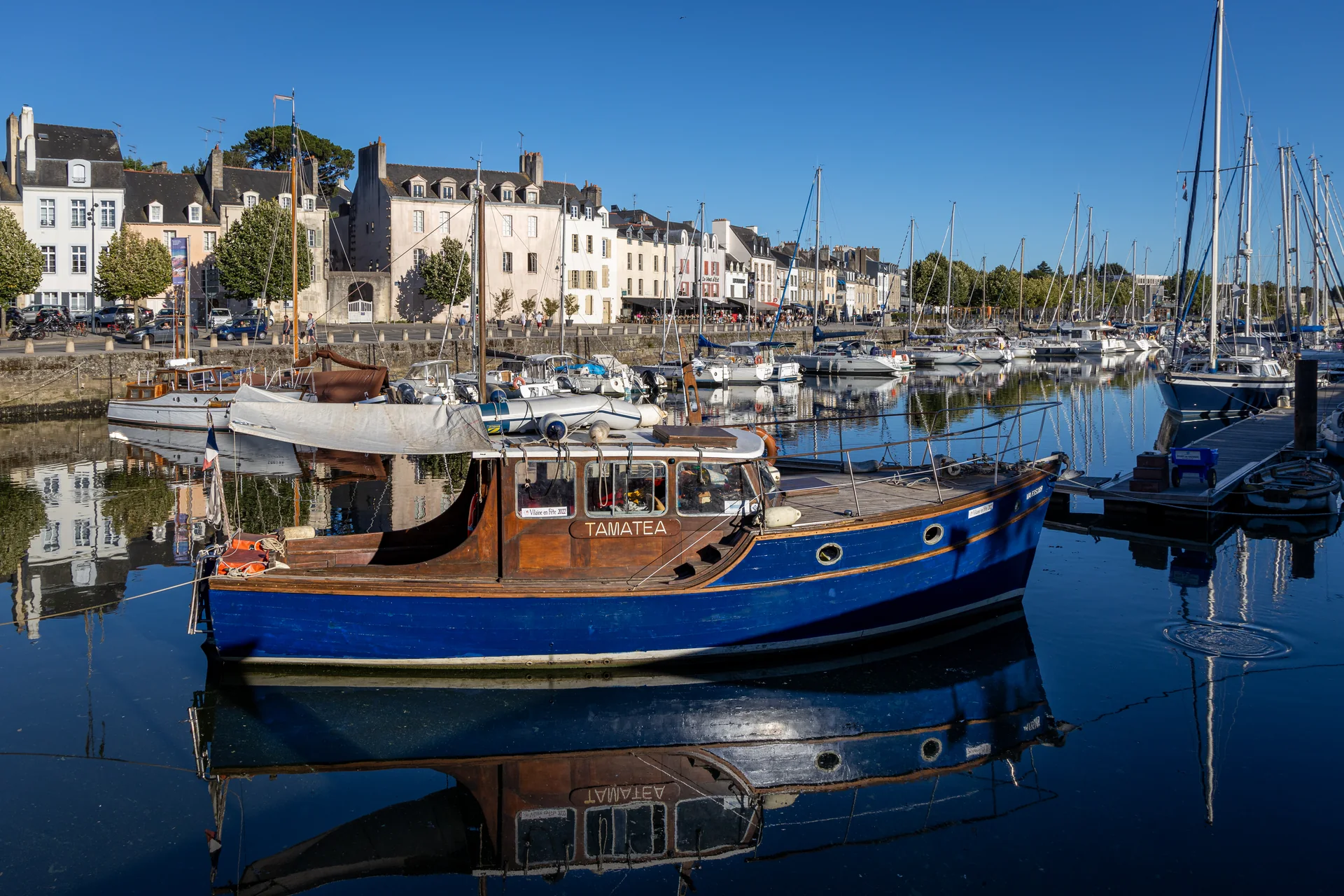
A blue passenger boat reflected in Vannes harbour, with sailing boats and waterfront houses behind
Boats and houses beside Vannes harbour. 2022.
Photo: © Superbass

Vannes: the harbour opens into the city

At the head of the harbour, Porte Saint-Vincent leads into the old city. Half-timbered streets, stone walls and market shopping sit close to the waterfront. After the Gulf’s islands and wooded shores, arrival here brings the boat into an urban setting with its own long maritime history.

Joining the boat and travelling ashore

Lorient and Vannes have mainline railway stations. Concarneau connects through Rosporden, while the Auray–Quiberon train is seasonal. Each brings you to a different part of the cruising ground.

Coralie’s line 4 connects Rosporden and Concarneau. Lorient Centre and Kernével need different final transfers. In Quiberon, the ferry terminal at Port Maria is separate from Port Haliguen. Island ferries connect Lorient with Groix and Quiberon with Le Palais, Houat and Hoëdic; the current timetable matters for a return outing or a crew change.

Summer brings more island services, seasonal buses and busy harbours. Outside the main season, museum calendars, ferries and harbour boat services become a larger part of choosing where to spend time ashore. Brittany’s rain and changing Atlantic weather remain part of the coast in summer too.

More island views

Two films from Voilanges’ 2022 sailing trip offer another view of the outer islands.

Local information and credits

Harbour and heritage links sit beside the places they describe. Selected new sources and access details were checked on 22 September 2026; retained local research dates from 18 September 2026.

Map sources

Coastline: Natural Earth and IGN/data.gouv.fr. Gulf geography: © Sémhur / Wikimedia Commons, CC BY-SA 4.0. Geographic source data · Gulf source map.