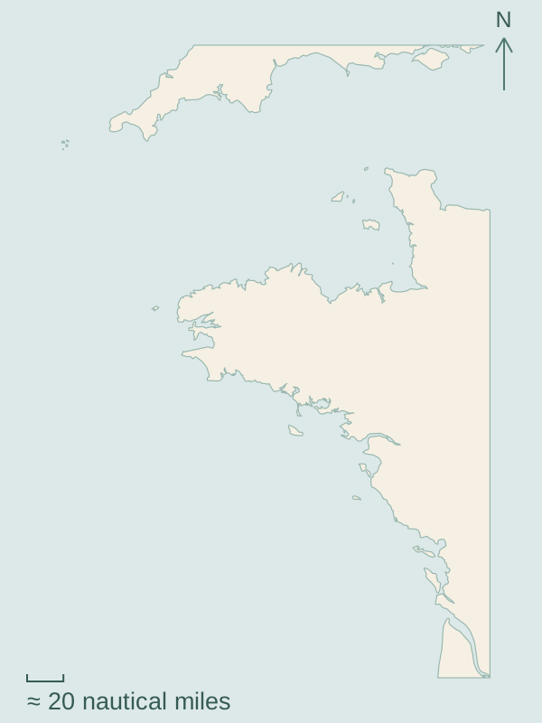
The Channel Islands lie off Cotentin; Brittany turns the coast towards the Atlantic, and farther south the islands gather around La Rochelle. Tidal harbour entrances, passages around headlands and the water between mainland ports and offshore islands give each part of this coast its character.
Choose a numbered marker to open a guide.Map source and scale
Tides shape the harbour day in the Channel; western Brittany opens onto the Atlantic around a succession of headlands. Farther south, offshore islands, mainland ports and the enclosed waters of Morbihan offer distinct settings.
1
Channel Islands, Cotentin and North Brittany
Guernsey’s town waterfront and Sark’s cliff paths lie across the water from Cotentin. Farther south, Chausey’s granite shores face Granville and the coast towards St-Malo. Gates, landing steps and exposed low-water shores make the tide part of harbour life.
Brest and Camaret look onto the waters around the Crozon peninsula; Douarnenez lies beyond a coastal passage around it. Town quays give way to Atlantic headlands, with Ouessant and Sein farther offshore. Ferries provide a separate way to reach the islands.
Concarneau faces Glénan, and Lorient is the mainland port opposite Groix. Farther east, Belle-Île, Houat and Hoëdic lie outside Quiberon and Morbihan. Inside the gulf, enclosed island waters lead towards Vannes; mainland markets, island harbours and beaches sit beside these different waters.
Noirmoutier, Yeu and Les Sables form a northern group; La Rochelle, Ré, Aix and Oléron lie farther south. Yacht harbours connect with market towns, island villages and cycle paths. La Rochelle’s city waterfront, Ré’s harbour towns and Aix’s seasonal visitor moorings offer different ways ashore.