A roadstead behind a narrow gate. Fishing towns facing the Atlantic. Islands among the shipping lanes.
Behind Brest’s narrow goulet, the Rade opens into a broad expanse of sheltered water. Outside, Camaret faces the Iroise and Crozon’s cliffs lead around towards Douarnenez. Farther west lie Molène and Ouessant; to the south, Pointe du Raz and Sein mark the turn towards southern Brittany. Fishing fleets, island ferries and lighthouse builders have given each part of this coast its own maritime character.
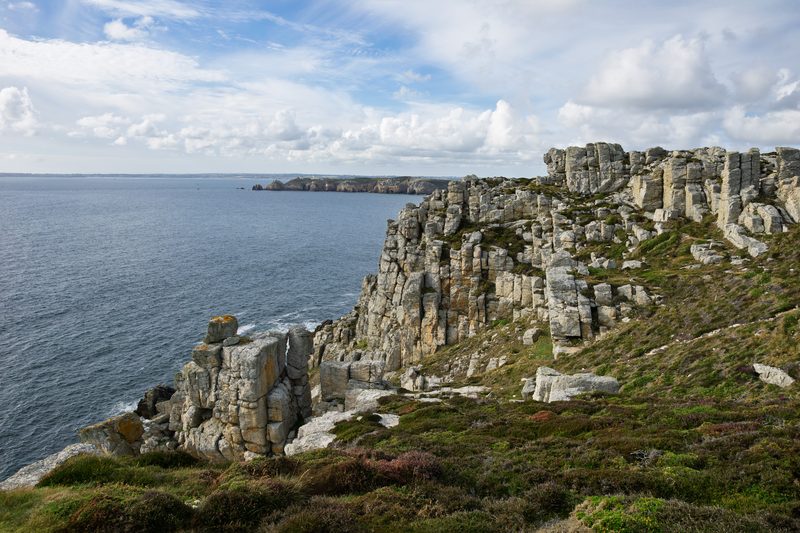
Pointe de Pen-Hir, near Camaret. The cliffs face the Iroise at the western end of Crozon. Photo: Einaz80
Crozon separates the Rade de Brest from the Bay of Douarnenez. Its western shore faces the Iroise: Molène and Ouessant lie beyond, while Sein sits off Pointe du Raz. The roadstead, mainland harbours and offshore islands offer very different waters and shore lives within this compact corner of Brittany.
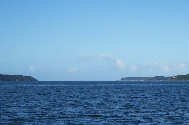
The change is striking: the Goulet is about 1 nautical mile wide, then the land falls away around a roadstead of roughly 180 km². Brest occupies its northern shore; the Crozon peninsula shelters it from the open Atlantic. Creeks, wooded banks and the Aulne estuary give the inner Rade a quieter scale than the exposed headlands outside.
That geography explains Brest’s naval importance, but the roadstead also holds sailing clubs, shellfish farms and sensitive maërl beds — accumulations of slow-growing, calcified red algae. Exploring its indented shores is a different experience from crossing the Iroise. The Parc d’Armorique’s guide brings together the Rade’s natural habitats and places around the water.
From the castle ramparts, the Penfeld, naval port and Rade fit together in one view. Inside, the Musée national de la Marine follows the arsenal, shipbuilding and life at sea through models, paintings and objects used aboard. Across the Penfeld, the former naval workshops of Les Capucins house the Emperor’s ceremonial barge: another way into the city’s long relationship with shipbuilding.
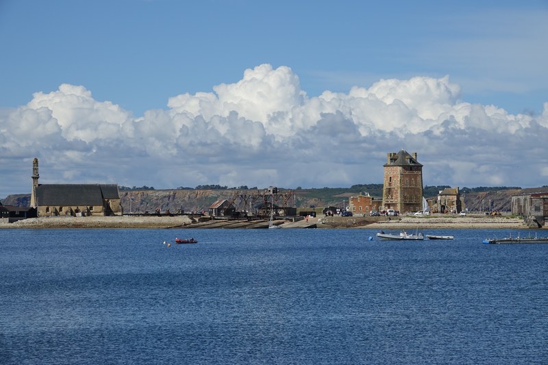
Camaret faces the Iroise just outside the entrance to Brest. Its waterfront tells two overlapping stories. The Vauban tower guarded a strategic coast; fishing boats made a living far beyond it. When sardines failed in the early 1900s, fishermen turned to spiny lobster, eventually working from the Hebrides to Mauritania. Live wells carried the catch home alive, and boatyards, forges and sailmakers grew around the fleet.
Walk out along the Sillon, the narrow arm enclosing the harbour. The ochre tower, Notre-Dame-de-Rocamadour chapel and ageing wooden fishing hulls stand close together. Their proximity makes Camaret’s history tangible: fortification, seafaring belief and the boats that sustained the town. Fishing continues alongside the visiting yachts, with the town’s cafés and shops lining the curved quay.
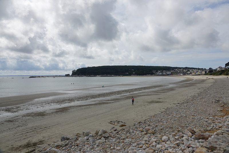
Crozon is the hinge of western Brittany: the Rade de Brest to the north, the Iroise to the west and the Bay of Douarnenez to the south. Pen-Hir’s cliffs and the Tas de Pois sea stacks give the western coast its hard outline. Farther south, Cap de la Chèvre turns into the bay, where Morgat’s broad beach and sheltered-looking waterfront change the mood again.
The coastal path makes the peninsula’s scale legible from land: heath above the cliffs, rocky points and long views across the water. Pen-Hir belongs naturally with a stay in Camaret; Morgat gives access to the southern side, its beach, cafés and boat trips towards the sea caves. Douarnenez lies across the bay, linking these two shores without making them the same kind of stop.
At Rosmeur, the quays and close-packed streets face the old sardine harbour. The catch shaped more than the fleet: canneries made Douarnenez an industrial town, and the women working inside them became central to its identity. In 1924 the Penn Sardin workers led a strike that won higher pay. Their story belongs beside the boats, explaining the town’s strong social and maritime memory.
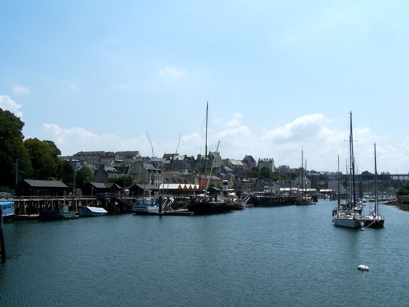
The Chemin de la Sardine connects that history to a walk through the town. Around Port Rhu, traditional craft and the Port-musée widen the view from one fishery to working boats from many coasts. Fish shops, market stalls and the present-day fishing port keep food and maritime work in the same frame. This is a place to move between the museum, quays and streets rather than see everything from one marina.
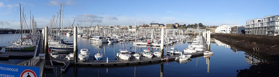
The Port Rhu photograph shows the museum waterfront, not Tréboul’s visitor pontoon.
Île Tristan and the town ashore
Île Tristan sits close to Tréboul, but the exposed causeway is not an open invitation: visits follow the official admission calendar. In town, markets and the lanes around Rosmeur are straightforward shore outings. Crews joining here usually approach by rail to Quimper and then local transport to Douarnenez.
West of the mainland, the sea breaks around low islands, reefs and lighthouse rocks. Ouessant stands beside the approaches to the Channel; Molène belongs to a scattered archipelago between it and Le Conquet. These are inhabited places with fishing, ferries and their own shore life. The Iroise marine park protects the surrounding habitats, including kelp forests used by grey seals and dolphins.
Ouessant: village lanes and lighthouse horizons
Lampaul’s houses and lanes lie on the western side of the island, away from the ferry landing at Stiff. A walk out towards Créac’h brings the scale of the Atlantic back into view. The lighthouse belongs to a wider chain of lights — La Jument, Nividic and Kéréon among them — built for ships rounding this coast. Their story includes engineers, masons and keepers whose work connected isolated rocks to a busy international sea.
Créac’h and the adjoining Musée des Phares et Balises are currently listed as closed for renovation. The tourism office gives 2027 as the expected reopening horizon; make the coast and village the reason for a visit while that work continues.
Molène’s harbour and low village sit among a much wider scatter of islands and drying rocks. Kelp harvesting and fishing tie this small community to the surrounding shallows. The Maison de l’Environnement offers a shore introduction to the archipelago and its wildlife; walking the island brings the neighbouring islets into view. Grey seals and seabirds belong to this landscape, with protected breeding and resting sites among the outer islands.
Ferries serve Ouessant and Molène from Brest and Le Conquet, with seasonal departures from Camaret. On Ouessant, Stiff is roughly 4 km from Lampaul, with island transport for the transfer.
South of Douarnenez, Cap Sizun runs west to Pointe du Raz. The Raz de Sein separates the headland from the island; beyond Sein, the Chaussée stretches west through reefs towards Ar Men. This is the turn between the Iroise and the Bay of Audierne. Tidal streams and Atlantic swell make the passage’s timing consequential, while the headland itself offers a view of the geography from shore.
Ar Men’s light was fourteen years in the making, from 1867 to 1881. Engineers and workers had to establish a tower on a rock barely large enough to hold it, far along the reef. The Finistère archives preserve the construction story. It gives the lights around Sein a human scale: they were built and maintained by people, in brief opportunities granted by the sea.
On Sein, houses crowd close behind the quays and narrow lanes offer shelter from the wind. Fishing and lifeboat service are woven into the island’s memory. In June 1940, islanders left in boats to join Free France in Britain; the community was later made a Compagnon de la Libération. That departure gives another meaning to the harbour: the same boats and seamanship that supported everyday life also carried an extraordinary collective decision.
Penn Ar Bed’s regular mainland gateway for Sein is Sainte-Évette, at Esquibien near Audierne, with additional seasonal services from Brest and Camaret. A ferry visit gives time in the village while a yacht remains on the mainland. The ferry landing does not establish visitor yacht berthing; a current yacht arrangement on Sein has not been verified for this guide.
Harbour and visitor links sit beside their places. The written sources below add context to the coast’s fisheries, lighthouses and natural habitats. Operational details were reviewed in September 2026; the dated Ouessant buoy sheets remain identified above.