Wooded capes, a town of sailors and painters, and red mountains falling into the sea.
The coast east of the Îles d’Or changes character several times. The Maures bring cork oak, coastal vineyards and small beaches. Beyond Cavalaire, three protected capes wrap around the Saint-Tropez peninsula. Inside the Gulf, fishing quarters, passenger boats and canals weave together very different waterfronts. Farther east, the open plain at Fréjus gives way to the red rock of the Estérel.
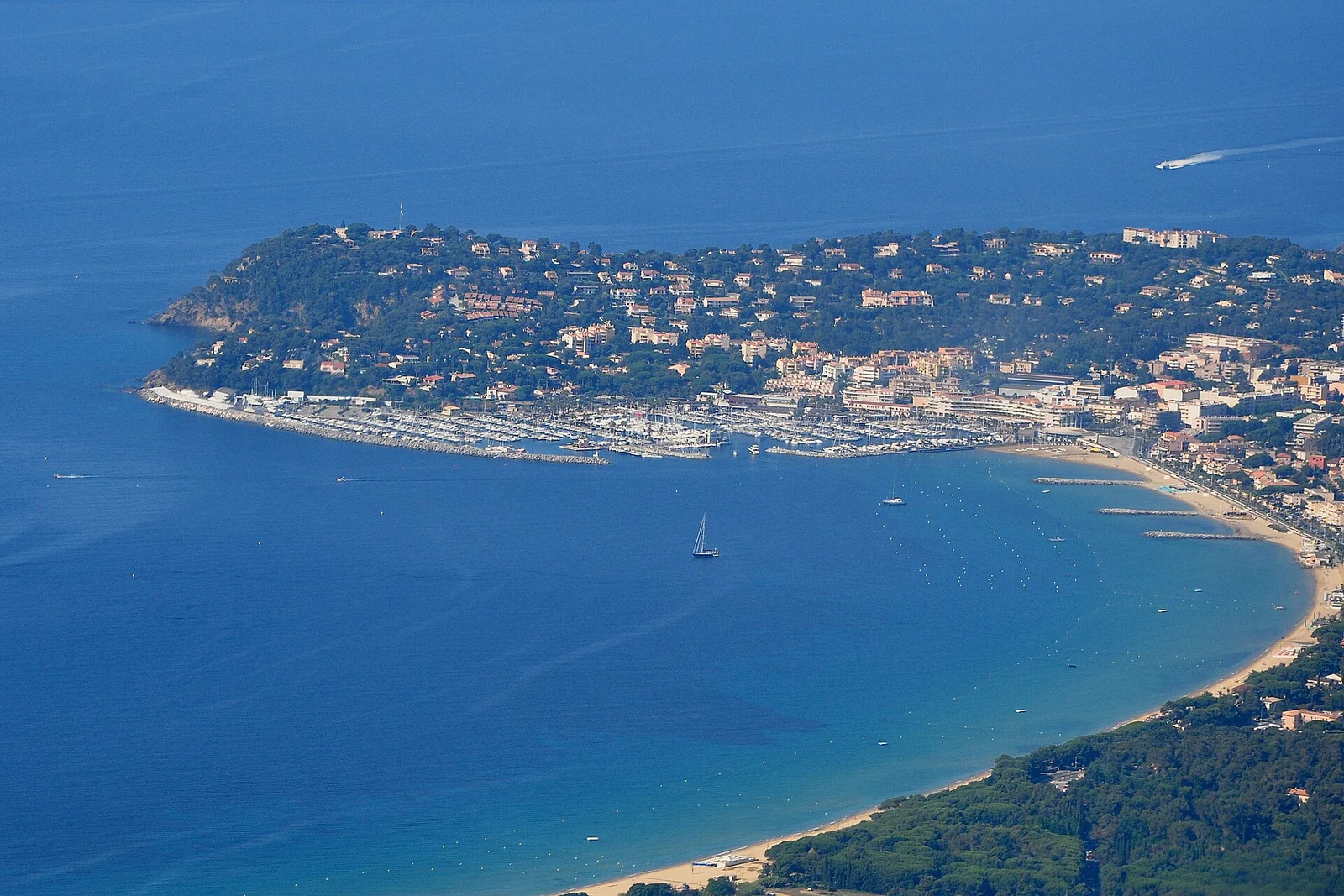
Cavalaire’s broad bay introduces the wooded coast of the Maures.Photograph credit
The Gulf of Saint-Tropez cuts inland behind the peninsula; Pampelonne faces open water on its eastern side. The capes between Cavalaire and Saint-Tropez therefore matter more than the towns’ closeness on a road map. Across the Gulf, Saint-Tropez and Sainte-Maxime are only about 2 nautical miles apart in a straight line. At Fréjus, the low Argens plain creates a broad break between the Maures and the Estérel.
The mistral often turns westerly along the Var coast. It can bring hard wind beneath a clear sky. East-facing Pampelonne, south-facing Agay and the indented Gulf each meet wind and swell differently; the attraction of a beach or bay is separate from its suitability for an overnight stop. Town harbours and seasonal managed moorings provide different ways to spend time along this shore.
The green coast of the Maures
01
Bormes, Cap Bénat & Le Lavandou
Before the Gulf comes a coast of rounded wooded hills, vineyards behind the shore and the Îles d’Or lying offshore.
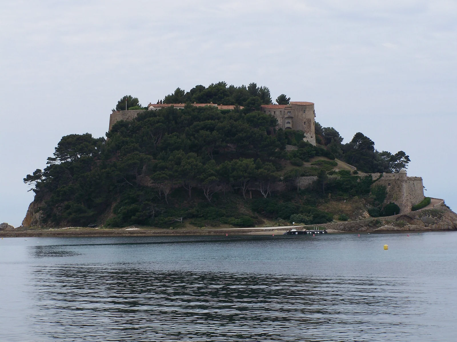
Brégançon commands the water between the mainland and the Îles d’Or.Photograph credit
Brégançon stands on its small rocky promontory with the sea close beneath its walls. From a boat, its position explains the site before any historical date does: it watches the approaches to the Hyères roadstead and the mainland shore. Its later life as a presidential residence sits on top of a much older defensive role. The fort’s history gives that context; the view from the water does not imply a public landing or unrestricted visit inside.
Around Cap Bénat, the dark cover of pine and cork oak reaches down towards the sea. Bormes-les-Mimosas itself occupies the hillside, with steep village lanes and views over the coast. Its yacht harbour, Port Bormes at La Favière, is a different place below: a waterfront of pontoons, apartments, restaurants and the nearby beach. A village visit means travelling inland from the marina.
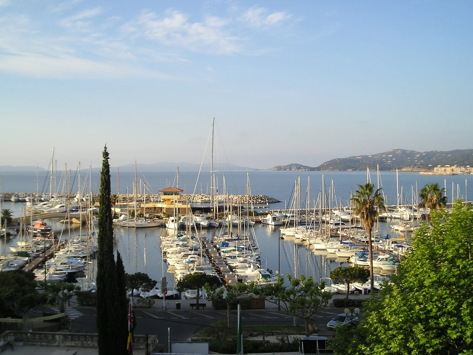
Le Lavandou’s modern basins sit beside the older fishing waterfront.Photograph credit
Le Lavandou’s local history traces a fishing community with Genoese and Catalan connections, once a hamlet of Bormes and independent as a commune from 1913. The small fishermen’s houses behind Quai Gabriel Péri belong to that earlier waterfront. Look for the pointus, the traditional local boats with pointed ends, among the modern craft: the harbour still connects fishing, passenger services and leisure sailing.
Saint-Clair, Aiguebelle, Cavalière and Pramousquier form a succession of beach settlements east of town. Each has its own small arc of sand and slope behind it, so the shore keeps changing even where the sea distances are short. Le Lavandou’s passenger boats also face out towards Port-Cros and Le Levant; those island visits belong with the Îles d’Or guide.
Two neighbouring harbours
Their different waterfront settings are worth considering alongside the allocated berth.
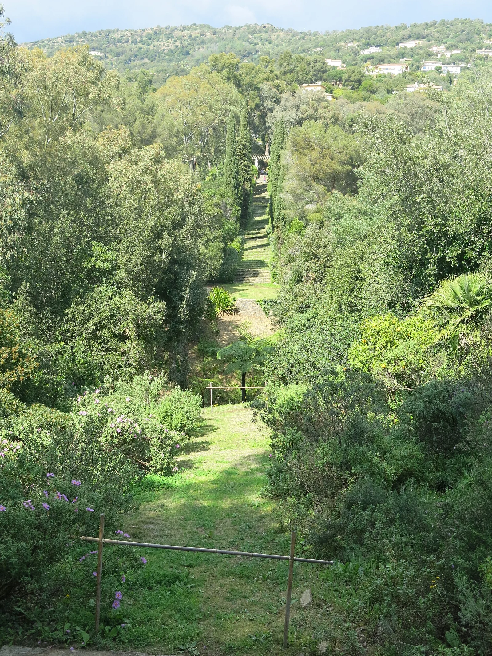
At Domaine du Rayol, Gilles Clément’s garden brings together landscapes from Mediterranean-climate regions including Chile, California, South Africa and Australia. The pleasure lies in the changing vegetation and its relation to the slope and sea: paths, steps and openings in the trees replace the formality of a single grand flower garden. The estate belongs to the Conservatoire du littoral, linking this cultivated landscape with protection of the coast.
The idea continues underwater in the Baie du Figuier. The guided marine-garden programme explores seagrass, sand and rock with mask, snorkel and fins. In 2026 the advertised season ran from 18 June to 13 September, with equipment provided and advance booking required. It is a separate, seasonal activity; an ordinary garden ticket does not include free use of the beach.
Make this a visit through the estate’s land entrance, reached from Le Lavandou or Cavalaire by road. The estate’s access rules reserve its beach for supervised educational activities and require participants to return to the garden afterwards. The site’s steps also mean that access around the reception and café does not establish step-free access to every garden path.
The bay and the landings
Cavalaire opens into a broad sandy bay, with the town and harbour at its western end. On 15 August 1944, this coast became part of the Allied landings in Provence, Operation Dragoon. French commandos had climbed Cap Nègre during the preceding night; the beaches around Cavalaire then received troops and equipment from the invasion fleet. The local account and shore memorial connect that history to the beach visible today. The story continues east at Dramont rather than ending at a single landing site.
The contemporary town offers a straightforward waterfront visit: shops behind the port, cafés around the basins and the long beach continuing eastwards. West of town, Bonporteau gives a smaller, more enclosed shore setting. Cavalaire also marks a change in the sailing landscape. East of its bay, the coast folds into Lardier and Taillat, where open protected land takes the place of a continuous resort frontage.
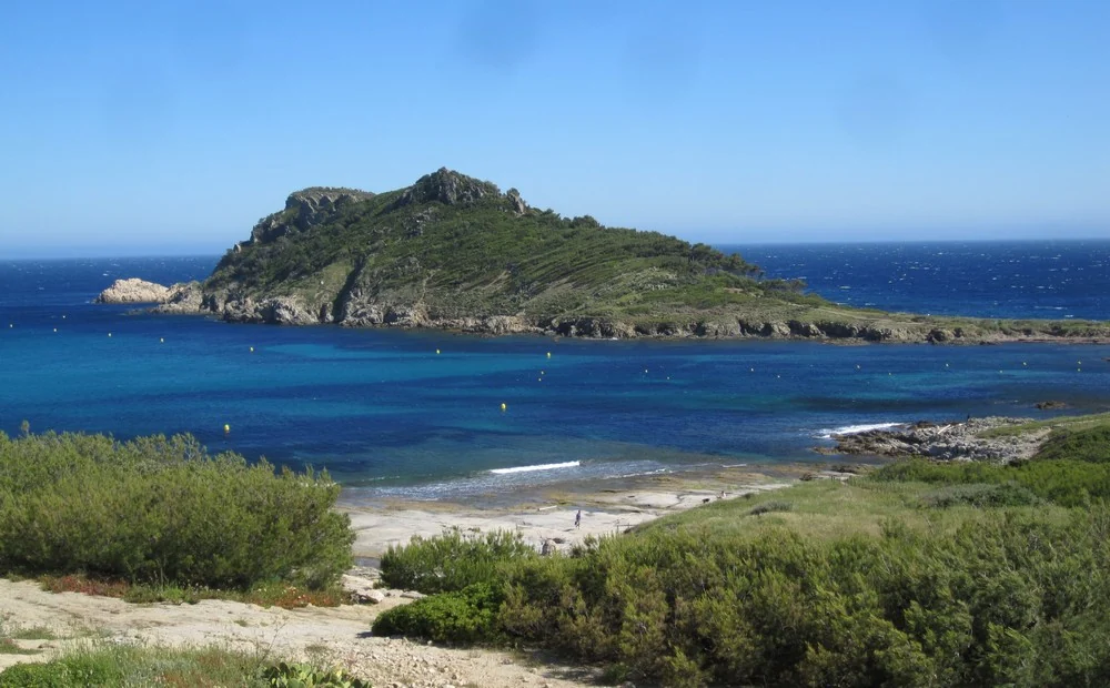
Cap Lardier is the wooded western headland beyond Gigaro. Taillat reaches out on a sandy isthmus, with water on both sides of the narrow connection. Camarat turns the coastline north towards Pampelonne, its lighthouse rising above the rock and trees. From the water, these changes in form give the shore a rhythm that a list of beach names cannot convey.
Gigaro and L’Escalet connect the coast with walking paths. At Taillat, the former customs house and the path above the sea give the protected landscape a human scale. The Conservatoire’s account of Taillat and Camarat describes the isthmus, maritime heritage and conservation work. Gigaro and L’Escalet provide the land approaches to this coast; yacht facilities remain concentrated in the towns.
Taillat and its sandy isthmus, photographed in May 2013, before the major fire of 2017.Photograph credit
The major fire of July 2017 affected much of Taillat and neighbouring protected land. Regrowth, surviving trees and conservation work belong to the story of the capes. Older photographs can show a different vegetation cover, and the landscape is still shaped by fire as well as wind and salt. Inland from the shore paths, vines and traces of earlier occupation add another layer to what can look like untouched coast from a distance.
Summer fire restrictions can close forest access in the Maures and Estérel. The Var’s daily massif-access map is the relevant source for a planned walk. Offshore, Posidonia meadows are part of the protected Corniche varoise marine area. Local anchoring restrictions and marked swimming areas determine where a boat visit can fit; a clear patch of water is not itself evidence of permitted anchoring.
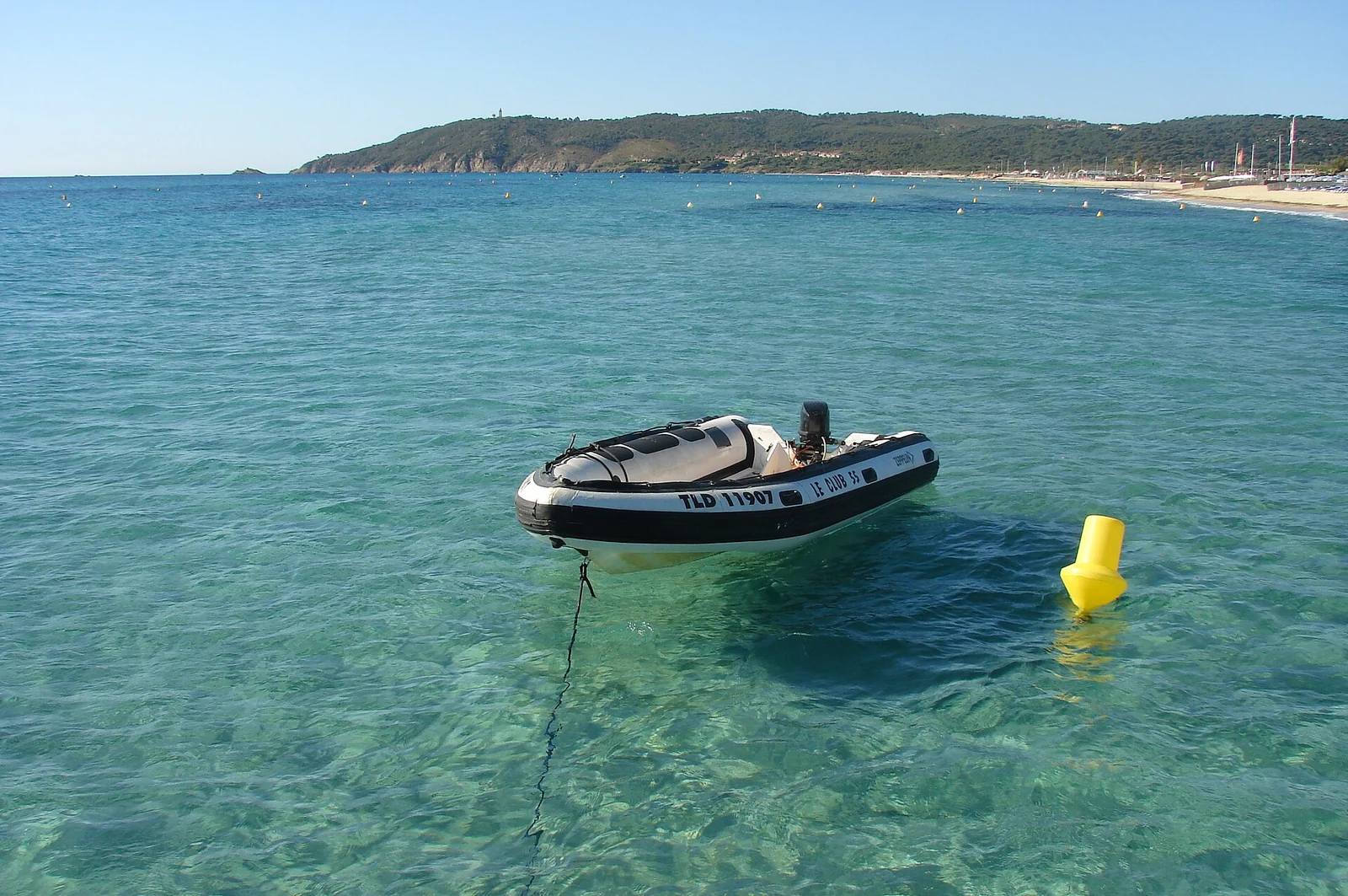
Pampelonne’s open water and long beach, photographed in 2011. Today’s managed buoy areas have their own seasonal rules.Photograph credit
North of Camarat, Pampelonne opens into a long, east-facing sweep of sand. Behind the beach establishments are dunes, vineyards and the rural part of Ramatuelle; the hill village stands farther inland. Beach clubs are one part of this setting, alongside public stretches of sand and the protected dune system. The beach’s redevelopment was designed around restoring dunes and moving removable facilities back from the water.
The waterfront holds several histories at once: merchant seamen, fishing households, painters arriving by yacht, cinema and the contemporary sailing world.
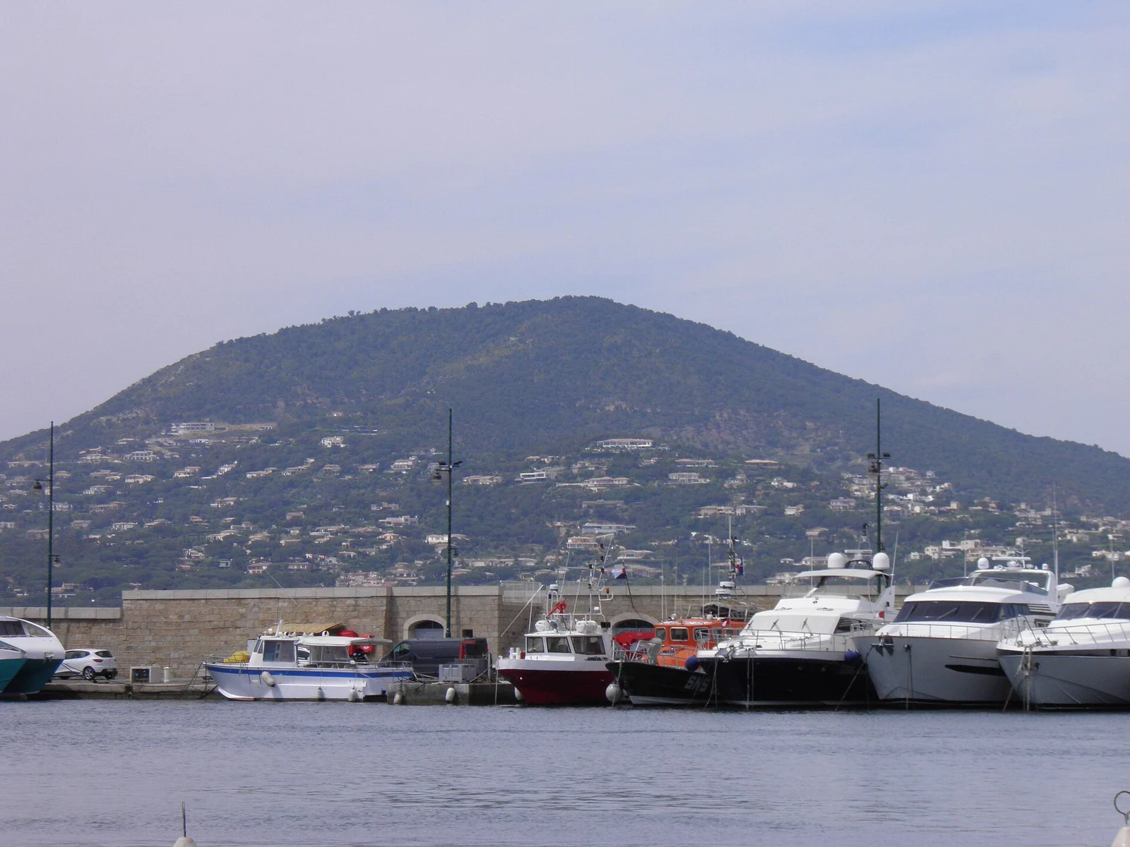
Boats of different scales share Saint-Tropez’s waterfront.Photograph credit
Above the harbour, the Citadelle’s maritime-history museum gives Saint-Tropez a much wider horizon. Coastal trade and fishing sit alongside voyages into the Ottoman world and the careers of sailors who travelled much farther afield. Objects and stories connect the small town with distant ports. The climb also puts the harbour into its landscape: waterfront, roofs, Gulf and the shore opposite.
Back at quay level, different scales of boat share the scene. Traditional craft and working crews sit within a port shaped by modern yachting, passenger movements and services ashore. The handling of lines, boat repairs and waterfront businesses give the quay a working rhythm alongside the café terraces. Its present-day marine economy is another chapter in the town’s relationship with the sea.
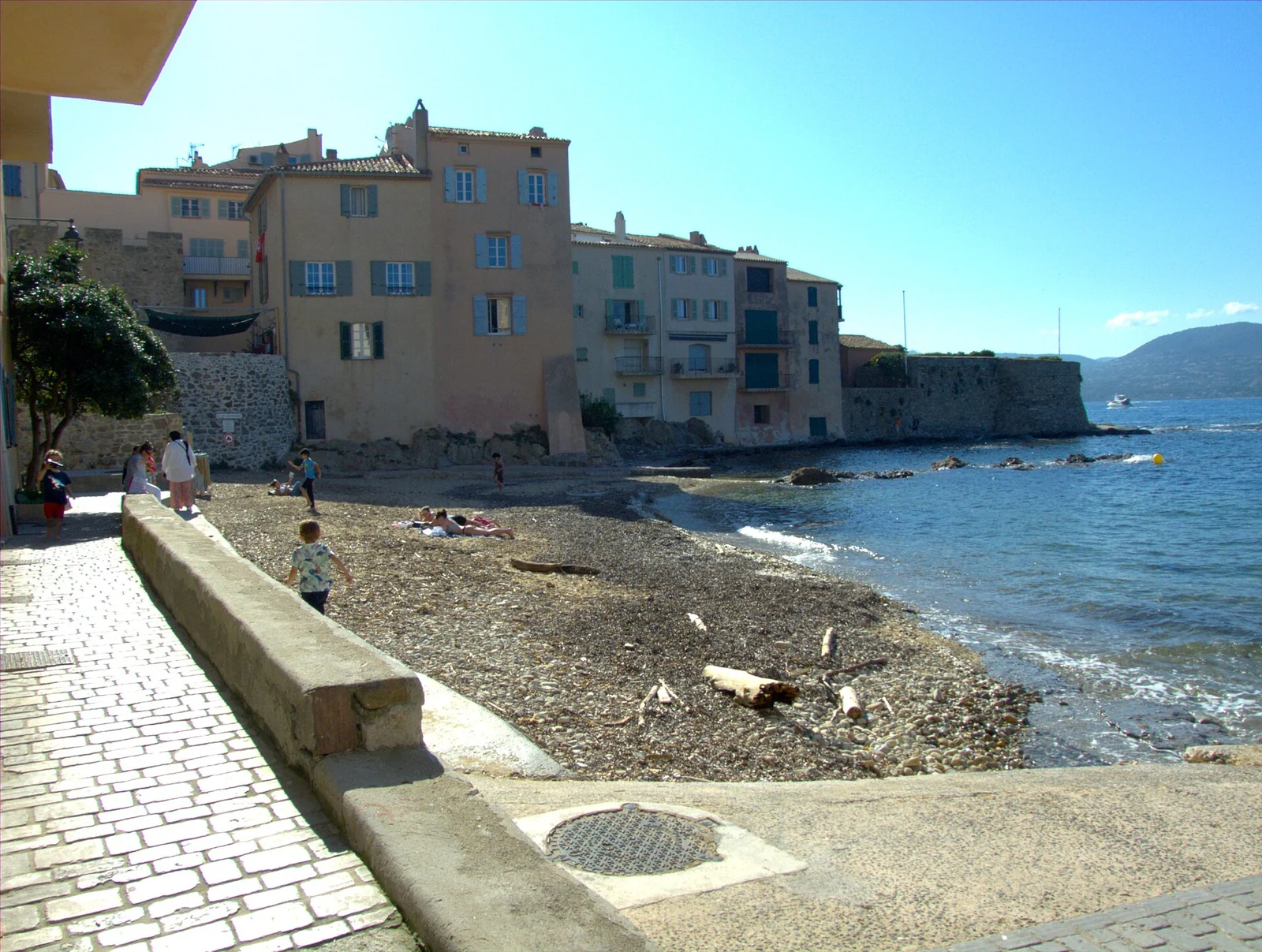
La Ponche brings the town down to the water on a much smaller scale.Photograph credit
Around La Ponche and La Pesquière, narrow streets and small waterside spaces recall the scale of the fishing quarter. The little beach sits directly below the houses, a different setting from the broad quay and rows of large yachts. Walk around the waterfront, then turn inland: lanes lead towards the church and the shaded Place des Lices. Shops, cafés and the market bring everyday town life into a visit that might otherwise remain entirely along the harbour edge.
Paul Signac arrived in 1892 aboard his yacht L’Olympia. At the Musée de l’Annonciade, close to the port, paintings by Signac and other artists show why this waterfront became important to the history of colour. Cross, Matisse, Derain and Marquet belong to that wider artistic circle. The museum currently notes that some works are away for study and restoration, with the displayed route concentrated upstairs; a particular painting should not be assumed to be on view.
Cinema added another layer, especially the international attention around Brigitte Bardot and And God Created Woman in 1956. The gendarmerie and cinema museum follows that story. It is useful context for the town’s fame, but the older fishing, trading and artistic histories remain visible within the same streets.
Traditional lateen-rigged boats and the classic and modern yachts of Les Voiles de Saint-Tropez reveal different sailing cultures. During major events, the harbour and the water outside it become part of the spectacle. The event programme is worth using for a visit, since racing, quay activity and visitor-berth availability do not follow an ordinary week’s pattern.
A passenger crossing from another Gulf harbour is a separate way to visit the town without moving the yacht.
Across the water from Saint-Tropez, Sainte-Maxime faces south. At the head of the Gulf, Port Grimaud turns the idea of a harbour into the structure of a town.
Sainte-Maxime combines a town beach, shops and a harbour beside the old centre. From this shore, Saint-Tropez is seen across open water rather than through the traffic around the Gulf. Les Bateaux Verts run passenger connections; their 2026 brochure gives about 20 minutes for the direct Sainte-Maxime–Saint-Tropez crossing, arriving in the Vieux Port. Services also connect Port Grimaud and Marines de Cogolin, with terminal and season shown separately in the timetable.
Canals and fingers of land give Port Grimaud its distinctive plan.Map sources
Port Grimaud looks old-fashioned at first glance, yet its construction began in the 1960s. Architect and sailor François Spoerry imagined houses and boats together, drawing on the Mediterranean ports he had visited. The story of its origins makes the plan intelligible: canals reach between fingers of land, bringing water to the houses rather than placing the whole town behind a single quay.
Bridges, squares, coloured façades and the church tower reveal that design at walking pace. From above, the repeated waterways are especially clear. The town’s own visitor information explains the private residential setting and the publicly accessible centre. Small canal-excursion boats offer another view of it; their service is distinct from the Bateaux Verts passenger connection across the Gulf and from access for a visiting yacht.
The Argens reaches the sea through low ground. Behind today’s beaches and marina, Roman Forum Julii belonged to a different shoreline.
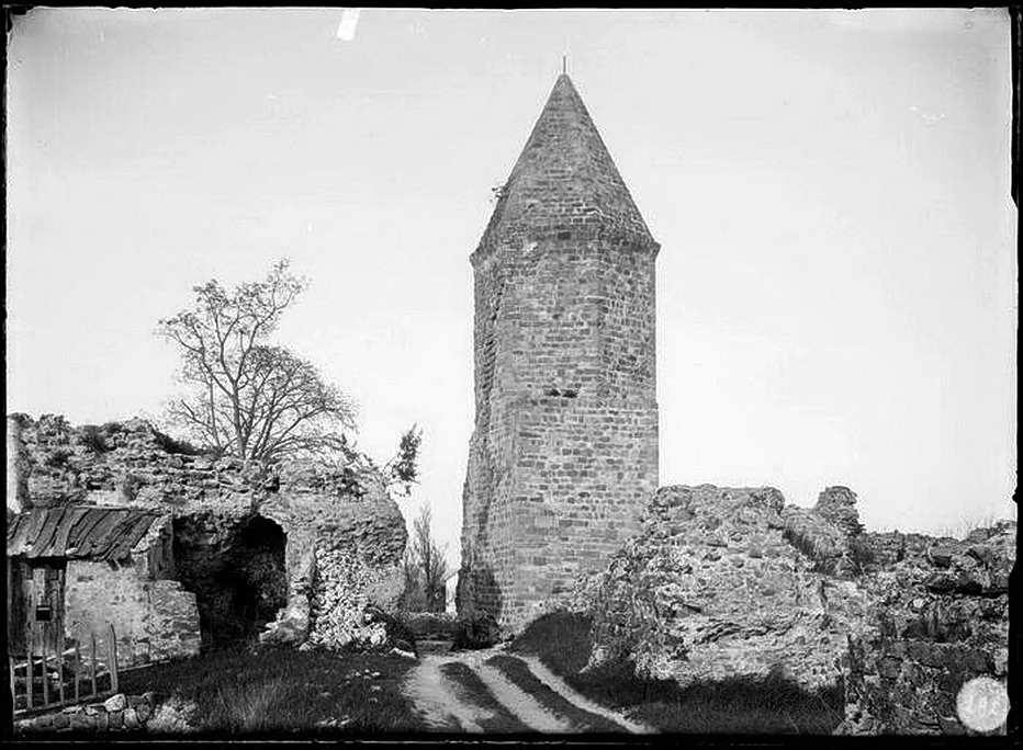
The Lanterne d’Auguste at Fréjus in April 1888. This archival photograph shows evidence of the ancient port within a landscape already far from the sea.Photograph credit
The remains of Fréjus’s ancient harbour, including the monument called the Lanterne d’Auguste, ask the visitor to imagine water where there is now land. Sediment and the changing coastline have altered the setting of the Roman town. The most intimate evidence is the Roman fishpond beneath a modern building: cut into rock and later connected to seawater by channels, it once stood close to the sea, now more than a kilometre away.
The fishpond explains fishing and food production on the scale of a working installation. Its first function remains uncertain, and the archaeological account distinguishes storage from possible later fish farming. Visits are guided, with availability supplied by the Fréjus tourist office; the listing’s opening calendar and status need to be consulted for a particular date. Above ground, the historic centre, cathedral quarter and other Roman remains make this a land visit from the modern waterfront.
Port-Fréjus belongs to the contemporary town’s return to the sea. Its basins and canal create another waterside neighbourhood, with beaches nearby, but they should not be mistaken for the excavated Roman harbour. That distinction is part of the interest: an ancient maritime city inland and a modern yacht harbour facing the coast as it is today.
Three urban harbour choices
These are separate harbours with different walks ashore.
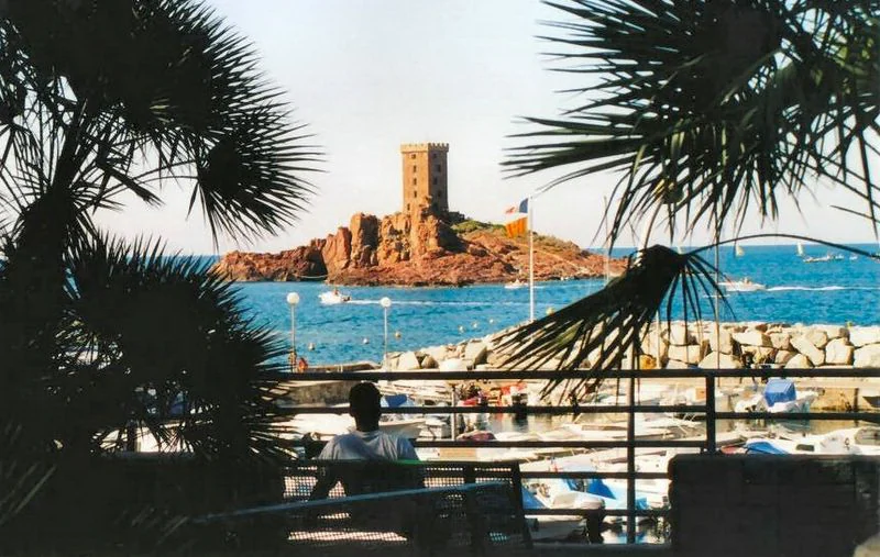
Île d’Or’s square tower stands just offshore from Dramont, a conspicuous marker against the red rock and blue water. The island is privately owned; the view from the sea and mainland paths is the attraction. Nearby Poussaï is a small harbour with local boats, not an interchangeable substitute for Santa Lucia’s yacht facilities. The headland’s paths bring close views of the island, the rocky coast and the mouth of Agay.
The broad landing beach west of the headland returns to the story begun at Cavalaire. The local memory trail connects the August 1944 landings with places around Saint-Raphaël. Dramont’s memorial landscape and Anthéor’s railway viaduct help explain why beaches, roads and rail links mattered together.
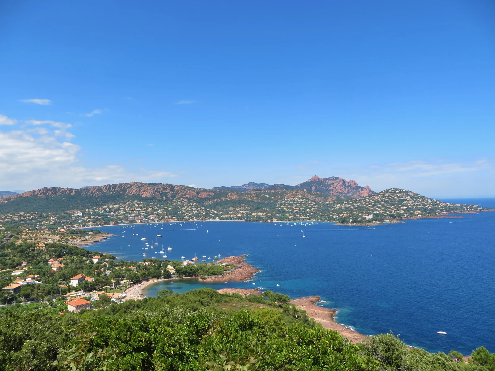
Agay seen from Dramont: the bay and the mountains belong to one landscape.Photograph credit
Agay sits between Cap Dramont and the Pointe de la Baumette. Beachfront cafés and the railway occupy the narrow low strip; above them, the Rastel and the Estérel rise in broken red and green shapes. The Rastel d’Agay walk gives a view back over the bay. The reward is seeing from above the shape first encountered from the water, with the headlands framing its opening.
A shore visit from a mooring depends on the landing arrangement provided by the local operator. Confirm that point with the Ancres à Vis office when arranging the buoy; the published offer does not establish an unrestricted tender berth for every visitor. Agay can also be reached overland from Saint-Raphaël. Forest access remains subject to the same seasonal fire closures as the rest of the Estérel.
Bay, managed moorings and small harbour
The managed buoys serve larger visiting boats than the small harbour can accommodate.
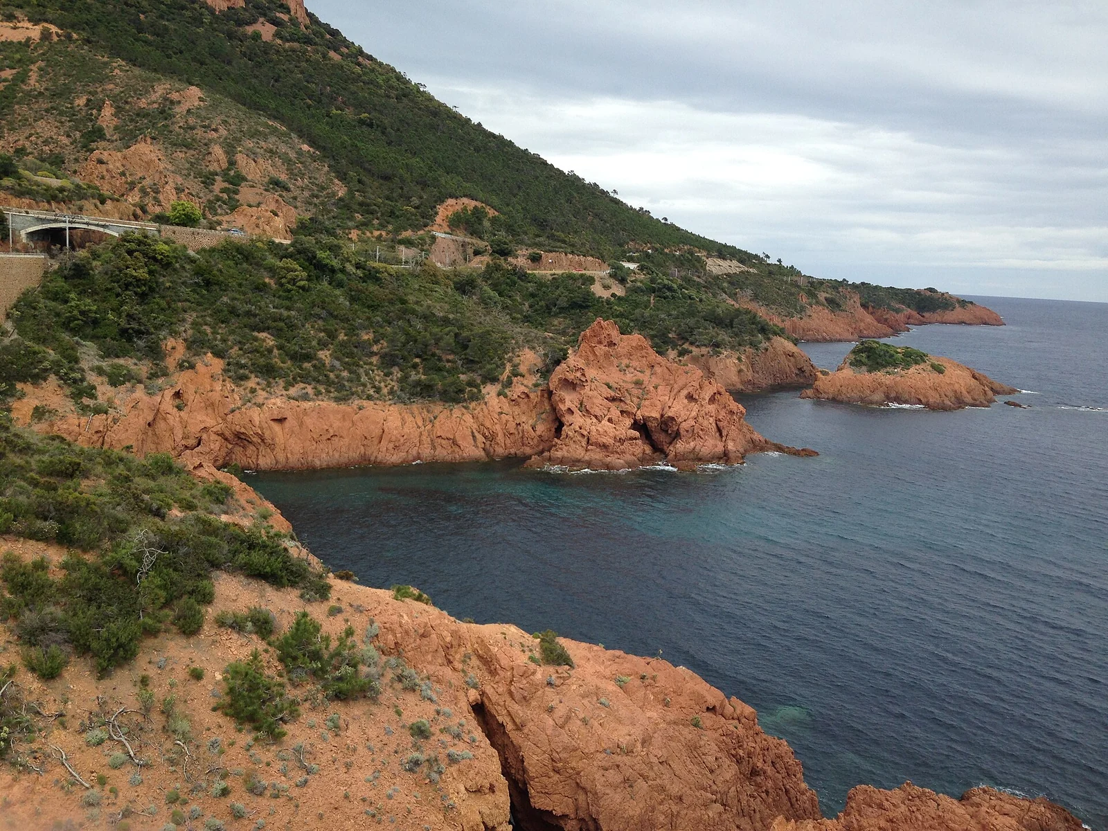
The Estérel’s red rock is largely volcanic rhyolite, cut into ridges and broken coastal slopes. Dark vegetation makes its colour more apparent, especially where bare rock reaches the water. This is a different setting from the broad Argens plain and the wooded shores farther west: the mountain occupies the foreground. The massif’s local guide connects the coast with inland viewpoints such as Cap Roux and the Pic de l’Ours.
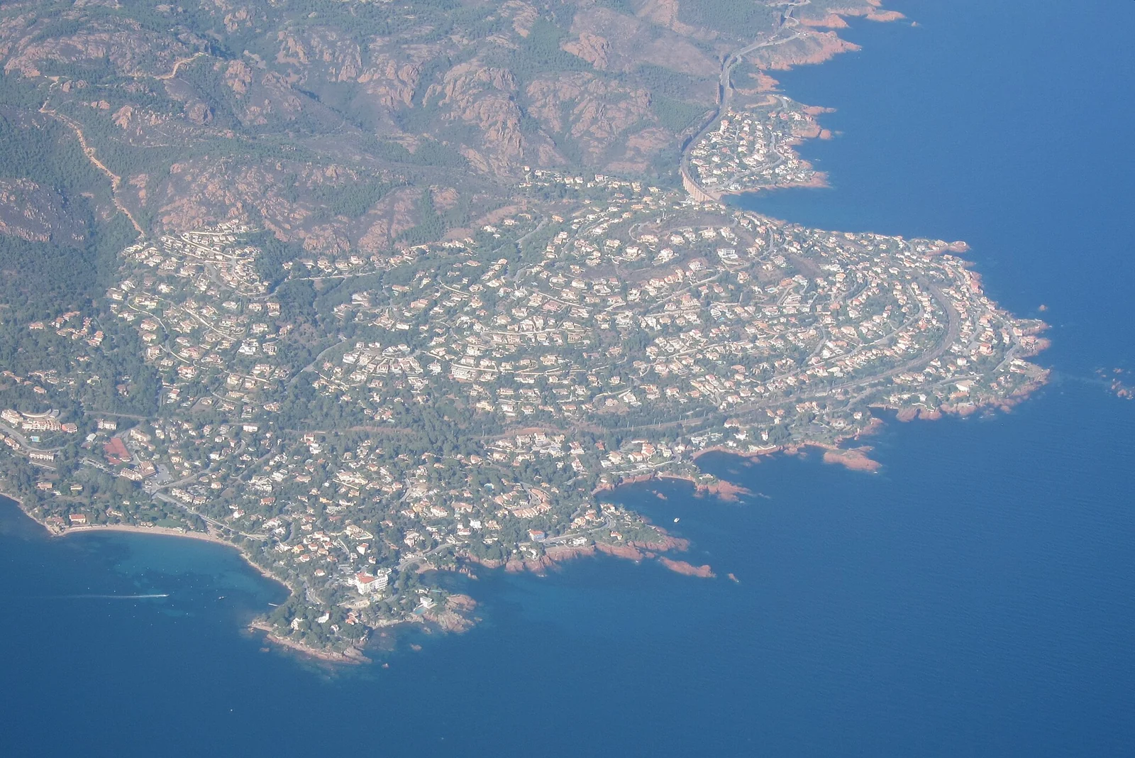
Around Saint-Barthélemy, the red shoreline breaks into small coves below the road. Narrow beaches sit between rock walls, while the larger ridges rise inland. From the sea, the succession of headlands reveals both scales at once: the close detail of the calanques and the mountain skyline behind them.
At Anthéor, the railway crosses the narrow space between the hills and the sea.Photograph credit
At Anthéor, the railway viaduct crosses above the small bay. The road bends around the same difficult shore, sometimes high above the sea, sometimes close to it. The Corniche d’Or opened in 1903, giving road travellers a new way along the Estérel. Seen from a boat, its retaining walls, bends and tunnels show the effort needed to connect these settlements.
Le Trayas sits within this narrow meeting of slope and water. The coastline continues around the eastern Estérel before opening towards Théoule and the Bay of Cannes. The coves belong to the mountain’s edge; Théoule begins a different relationship with the wider bay, its towns and islands. Local rail and road connections also make parts of the red coast accessible from a town harbour, without requiring a yacht stop in every inlet.
Near Saint-Barthélemy, the red rock reaches the water below the Corniche d’Or.Photograph credit