South Devon & Cornwall · River harbours
Southwest England
Out to sea. Into another world.
Between Dartmouth and Helford, sailing means leaving a river behind, crossing open Channel water and finding another entrance in the green coast. Inside are hillside towns, ferry crossings, working quays and creeks disappearing into woodland. Each harbour opens a different world; the passages between them are proper sea sailing.
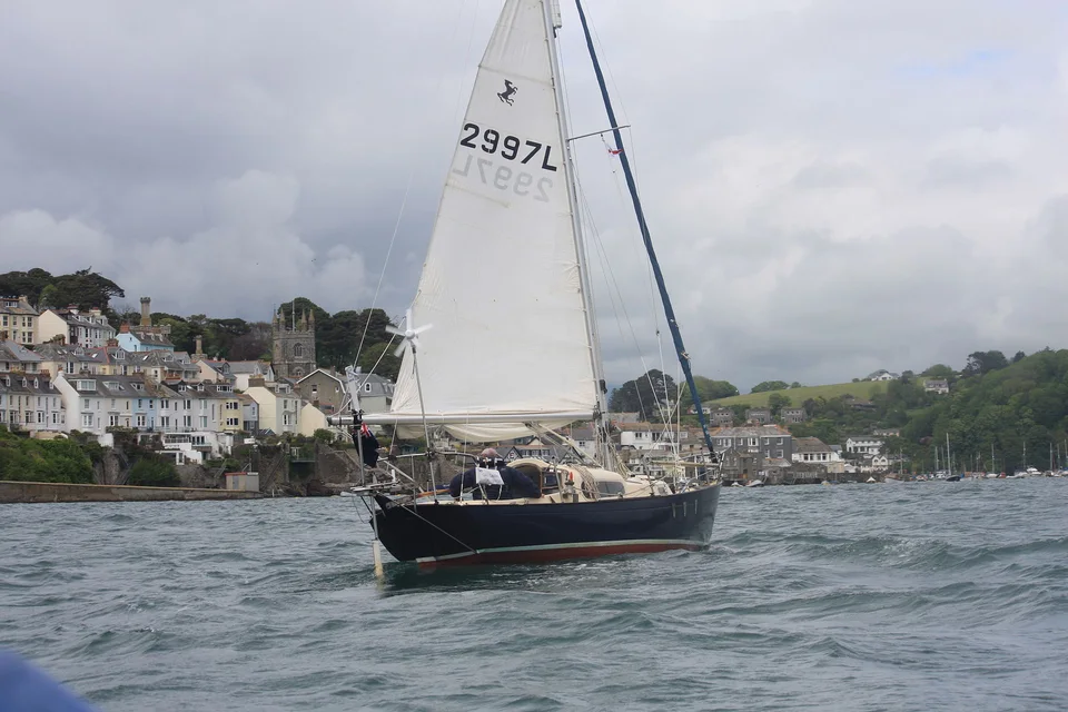
Photo: Andrew Thomas
The geography · Dartmouth to Helford
Six entrances, six different settings
The Dart and Salcombe sit in South Devon. Plymouth Sound straddles the Devon–Cornwall boundary; farther west, Fowey opens between two steep banks, Falmouth spreads into Carrick Roads, and Helford leads into wooded country. Headlands and open bays separate these waters. This guide follows the mainland coast as far as Helford, before the Lizard and the longer western crossings.
- Dartmouth & the DartNaval town, wooded river, Dittisham
- SalcombeMoorings, sand and a ferry to the beach
- Plymouth SoundA broad sound and a maritime city
- Fowey & PolruanA working port between hillside towns
- Falmouth & Carrick RoadsSailing water with Atlantic connections
- HelfordCreeks, gardens and the journey ashore
South Devon · The River Dart
Dartmouth: the sea gives way to a river
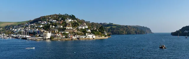
Photo: Herbythyme
The entrance is narrow enough for Dartmouth Castle to seem to guard the whole river. Then the town unfolds on the west bank, Kingswear climbs the opposite hillside, and ferries thread between them. Above Dartmouth stands Britannia Royal Naval College, where Royal Navy officers still train. The river’s naval and trading history is part of the view from the cockpit.
Upriver, the closely packed waterfronts give way to wooded bends. Dittisham is a village stop in its own right, with visitor moorings, a dinghy pontoon and a pub near the landing. Across the water, Greenway was Agatha Christie’s holiday home. Its house, garden and boathouse make sense as a river visit: arrive by the seasonal passenger ferry from Dartmouth or cross from Dittisham, then climb the sloping path and steps from the quay.
The Dart · Town and upriver
Follow the river inland
Dartmouth and Kingswear face each other near the entrance. Dittisham and Greenway sit farther upriver, beyond wooded bends. The journey inland is a change of landscape within the same estuary.
South Devon · Salcombe–Kingsbridge Estuary
Salcombe: a town facing the beach
Salcombe has a lighter, beach-facing character than Dartmouth. The town gathers along the western shore; opposite, East Portlemouth’s sand and wooded slopes give the estuary an open, holiday feel. A short passenger-ferry crossing changes the scene from waterfront shops to paths leading towards Mill Bay and the headlands. The National Trust’s full Mill Bay circuit is about 5.6 km, including hills and cliff paths.
Behind today’s sailing town lies a history of fast wooden fruit schooners trading with Mediterranean ports. Their cargoes of oranges and lemons needed speed; nineteenth-century Salcombe built and sailed those ships. Inland, the estuary branches towards The Bag and Kingsbridge, becoming shallower and more tidal. The lower harbour and beach shore are the natural centre of a visiting yacht’s stay.
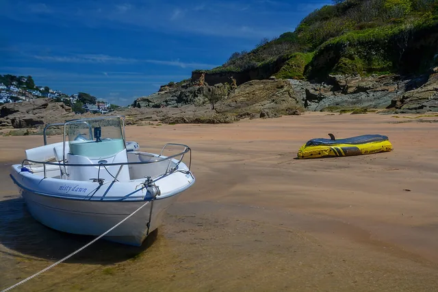
Photo: Lewis Clarke
Devon & Cornwall · Plymouth Sound
Plymouth: room to sail, a city to explore
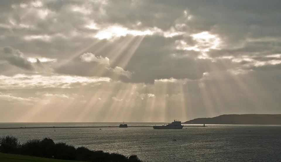
Photo: Nilfanion
Plymouth changes the scale. Beyond the breakwater lies a broad sound, with the Tamar opening inland and the Cattewater leading towards the Plym. Warships, ferries, workboats and yachts share a living maritime city. Devonport’s naval base belongs to that working landscape; the visitor’s waterfront is around the Barbican, Sutton Harbour and the Hoe.
From the Barbican’s narrow streets, walk to the Hoe for the view back over the Sound. The Mayflower Steps commemorate the emigrant ship’s departure in 1620; The Box gives the city’s seafaring history a wider setting alongside art and other collections. Plymouth is a place for city streets and museums as well as sailing inside the Sound, with much more shore life than a marina stop alone suggests.
Between the rivers · Open Channel water
The sea between the sheltered worlds
Leaving these entrances puts the yacht back among headlands, swell and tidal streams. Start Point, Bolt Head, Bolt Tail and Rame Head give the South Devon coast its shape; farther west, the bays and headlands of Cornwall separate Plymouth, Fowey and Falmouth. Shelter inside a river says little about the conditions outside its mouth. A change of harbour is a coastal passage, with fewer alternatives than a densely islanded coast.
A sense of scale
Dartmouth–Salcombe is about 14 nautical miles; Plymouth breakwater–Fowey about 22 nautical miles. A berth inside Plymouth adds the journey through the Sound. These published estimates describe coastwise distances; reaching a particular upriver berth adds more water at either end.
Mayflower Marina distance table · p. 27South Cornwall · Fowey, Polruan & Bodinnick
Fowey: a river harbour still at work
Fowey is immediately legible from a boat: steep streets and waterfront houses on one bank, Polruan on the other, moorings between them and ferries crossing the gap. Yet this is also a commercial port. Ships still carry Cornish china clay from upriver loading facilities, passing through the same narrow harbour used by visiting yachts. The movement of working vessels belongs to the place as much as the pubs and sailing boats.
The Polruan ferry gives access to the opposite village and views back across the harbour. On the Fowey side, the waterfront walk leads to Readymoney Cove and its designated swimming area. Farther inland, Bodinnick holds another part of the river’s story: Daphne du Maurier wrote her first novel, The Loving Spirit, at Ferryside beside the crossing. The river, shipbuilding and surrounding estates fed her fiction; the annual Fowey festival keeps that literary connection alive.
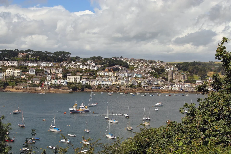
Photo: Stefan Germer
West Cornwall · Falmouth & Carrick Roads
Falmouth: a harbour looking out to the ocean
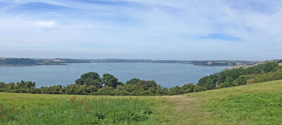
Falmouth faces a different horizon. From the late seventeenth century, packet ships carried international mail from here; later the port became a familiar landfall for ships returning from the Atlantic. Docks, ship repair, ferries, fishing boats and yachts still give the harbour a working scale. At Discovery Quay, the National Maritime Museum Cornwall connects that waterfront to the packet era and to modern ocean sailing.
Behind the entrance, Carrick Roads is a broad expanse of sailing water with wooded margins and creeks opening from its sides. Falmouth’s town harbour and the Penryn River lie to the west; Flushing faces the town across the water, while St Mawes sits near the eastern entrance. These are different shores of one harbour system, not a single marina destination. The Flushing ferry makes an easy change of scene from the town.
West Cornwall · Two river systems
A wide harbour, a wooded river
Carrick Roads extends inland from Falmouth, with the Penryn River on its western side. Helford has its own entrance farther southwest: the two are connected by open sea, with very different settings inside.
Helford lies nearby on the coast, but belongs to a separate river system. Getting there by yacht means leaving Falmouth harbour, crossing open Falmouth Bay and rounding the shore into another entrance. The difference becomes clear on arrival: broad sailing water gives way to a more intimate, wooded river.
West Cornwall · The Helford River
Helford: into the woods
On the Helford, woodland comes down almost to the water. Moorings gather between Helford village and Helford Passage, with a small ferry joining the two shores. Beyond them, creeks turn out of sight between trees, mudbanks appear as the tide falls, and the scale of exploration shrinks from yacht to dinghy or kayak.
Frenchman’s Creek, made famous by Daphne du Maurier’s novel, is one of those small-water discoveries. It is a tidal creek for a carefully timed small-boat outing, not a promised overnight berth for a cruising yacht. The upper river and side creeks have extensive drying areas, while oyster grounds and protected eelgrass limit where anchoring is appropriate. The visitor moorings in the main river provide the simpler starting point.
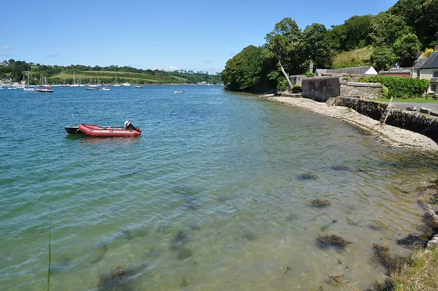
Photo: Nilfanion
A garden above the landing
Durgan is a small north-bank village with a pebble beach below Glendurgan Garden. The valley garden climbs away from the river through trees and planting, with its maze as a playful interruption. Arriving from the water gives the visit a particular shape: landing, village, garden, then back down to the river. The riverside gate closes separately from the main entrance, so its return time matters.
Glendurgan Garden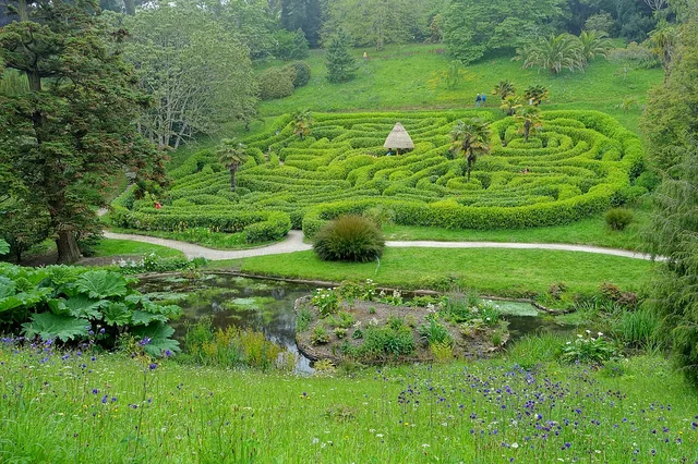
Photo: Daderot
On film: Sailing Cornwall: Helford and St Just — Sail Ho, episode 60, 8:55, January 2021.
Across the river harbours · Life ashore
The second boat journey
A buoy or detached pontoon often places the yacht in the loveliest part of the harbour, between the town and its opposite shore. Going ashore then becomes a second boat journey: a dinghy to a landing, a harbour taxi to town, perhaps a ferry across to another village. This is part of the character of Dartmouth, Salcombe, Fowey and Helford. A walk-ashore berth changes the convenience, while a mooring keeps the river around you. The practical distinction is the landing and return service, especially outside the summer timetable.
Arriving by land · Plymouth & Falmouth
Rail to the coast
Plymouth has a mainline station; Falmouth is reached on the branch line from Truro. The last part of the journey depends on the berth: Mount Batten is across the water from Plymouth’s centre, while Falmouth Haven and Premier Falmouth Marina are different addresses. For a crew arriving with bags, the actual landing or marina matters more than the town name.
GWR train timetablesSources and photograph credits
Harbour and visitor links sit beside the places they describe. Additional historical sources: Dartmouth Castle, Britannia Royal Naval College, Salcombe History Society and Fowey Harbour Heritage.
Photograph and map provenance (JSON)