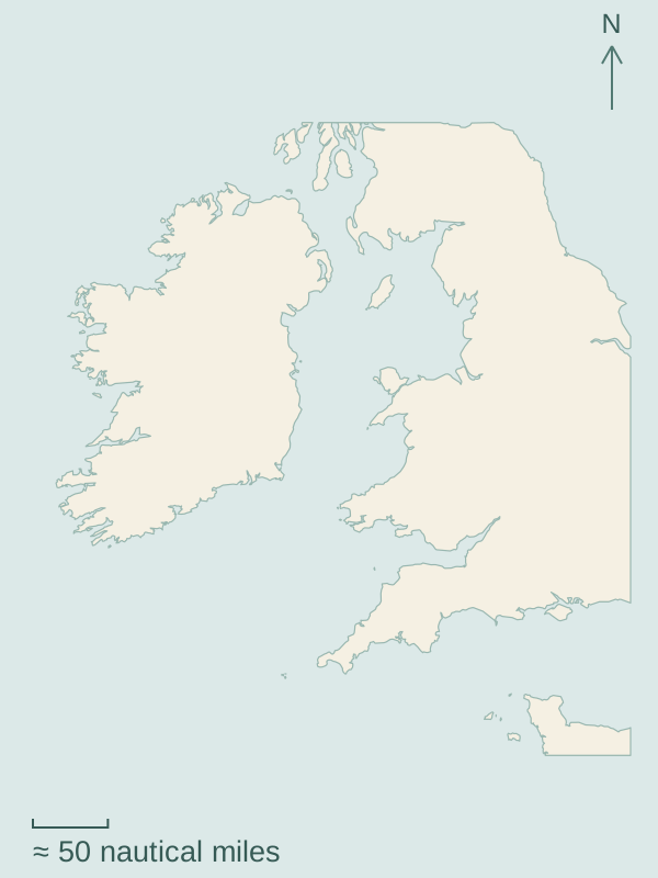
River mouths and harbour towns line South Devon and Cornwall. Farther north, the Irish Sea lies between the Welsh and Irish coasts, with the Isle of Man between them.
Choose a numbered marker to open a guide.Map source and scale
Southwest England follows the mainland coast from Dartmouth to Helford. Around the Irish Sea, open water separates the coasts, islands and loughs described in the second guide.
1
Southwest England · River harbours
Open Channel passages connect six different harbour worlds, from Dartmouth’s naval town and wooded river to Salcombe’s beach shore, Plymouth Sound, working Fowey, ocean-facing Falmouth and the creeks of Helford. Ferries, moorings and opposite-bank villages are part of the cruising here.
Milford Haven’s working waterway, Conwy in North Wales, the Dublin and Wicklow coast, the Isle of Man, Belfast Lough and Strangford Lough. Harbour towns, beaches and islands have different relationships to the surrounding water; crossing between the coasts is a separate sea passage.