South to Madeira.
Along Portugal, the summer northerly wind can help on the way south. The course then leaves the coast towards Madeira. Funchal can be the place for dinner in town while the sailing clothes dry.
Cascais → Funchal → Horta → Falmouth
Three offshore legs from Portugal to Madeira and the Azores, then onwards towards the Channel.
A night under the stars. Coffee at the change of watch. And after several days: the outline of an island on the horizon.
The passage itself is part of the journey. One leg can stand alone or form part of a longer circuit.
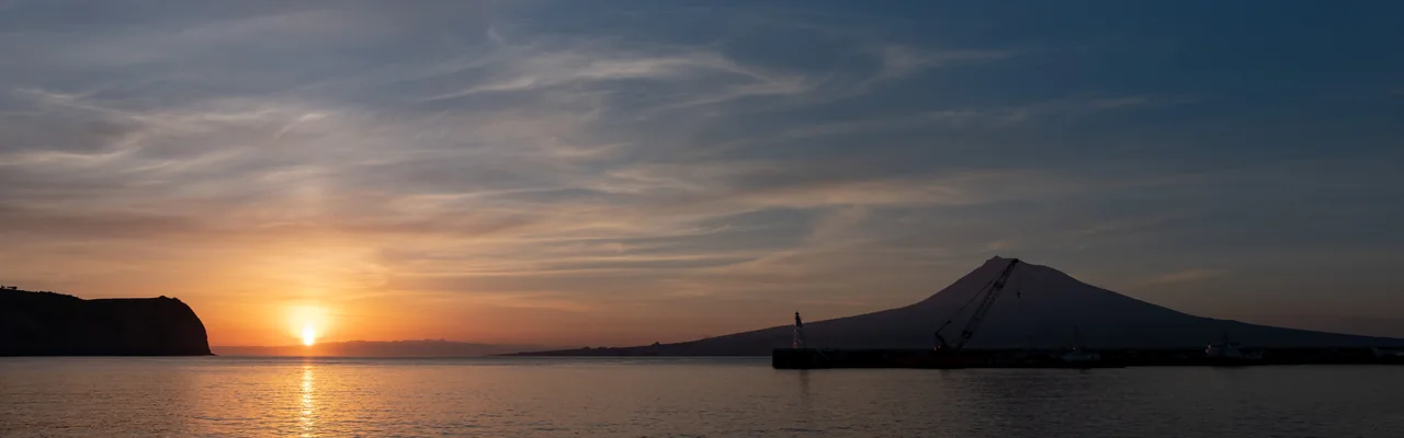
02 · Portugal → Madeira → Azores → Channel
Out to the islands, stay a while, then onwards towards the Channel in a broad arc. Long stretches at sea between encounters with land.
Along Portugal, the summer northerly wind can help on the way south. The course then leaves the coast towards Madeira. Funchal can be the place for dinner in town while the sailing clothes dry.
Another offshore stretch, with green volcanic islands as the destination. Wind on the beam can make for fine sailing, but this leg depends on the position of the high-pressure system. Headwinds or light winds are also possible.
From the Azores, the route can head north towards the westerly wind belt, then onwards towards the entrance to the English Channel. Falmouth is one possible landfall. The weather determines where the arc actually runs.
This is a project for a generous part of a season. Offshore legs and stays need time, and each departure gets its own weather assessment. The circuit does not have to be completed in one go.
Distances and time
From Cascais near Lisbon, the estimates are about 3 days to Madeira, 4 more days to the Azores and 9 days to Falmouth, at an average of 7 knots. The total distance is approximately 2,650 nautical miles. Stays on the islands and waiting to depart are additional.
approx. 500 nm
Approx. 3 days (71 hours) at 7 knots.
approx. 700 nm
Approx. 4 days at 7 knots.
approx. 1 450 nm
Approx. 9 days at 7 knots, with a northerly arc.
These are rounded estimates for the route on the overview map. The arc from the Azores in particular becomes longer or shorter according to the weather.
Summer wind patterns
The Azores High is part of the explanation. Air circulates clockwise around a high-pressure system in the northern hemisphere. Its position and strength change, and so does the passage.
Along Portugal
A northerly or northwesterly wind along the west coast, particularly in the warmer months. It often strengthens during the afternoon. It can suit a southerly course but is not a steady wind corridor all the way to Madeira.
South of the high-pressure system
The trade winds blow from northeast to southwest. They belong to the southern part of the wind pattern. Madeira–Azores heads northwest and requires its own choice of weather window.
Northwards towards Europe
Westerly and southwesterly winds can help on the way east towards Europe. The return towards the Channel can be planned around these winds. Depressions and fronts also make this part changeable.
The maps show the broad summer wind patterns in the eastern North Atlantic. The high-pressure system moves, and winds may change or fail to appear. The arrows show wind direction; wind strength and ocean currents are not drawn.
Madeira · land in sight
Houses climbing the mountainside. A city to walk into. An evening along the quay after several days with sea all around the boat.
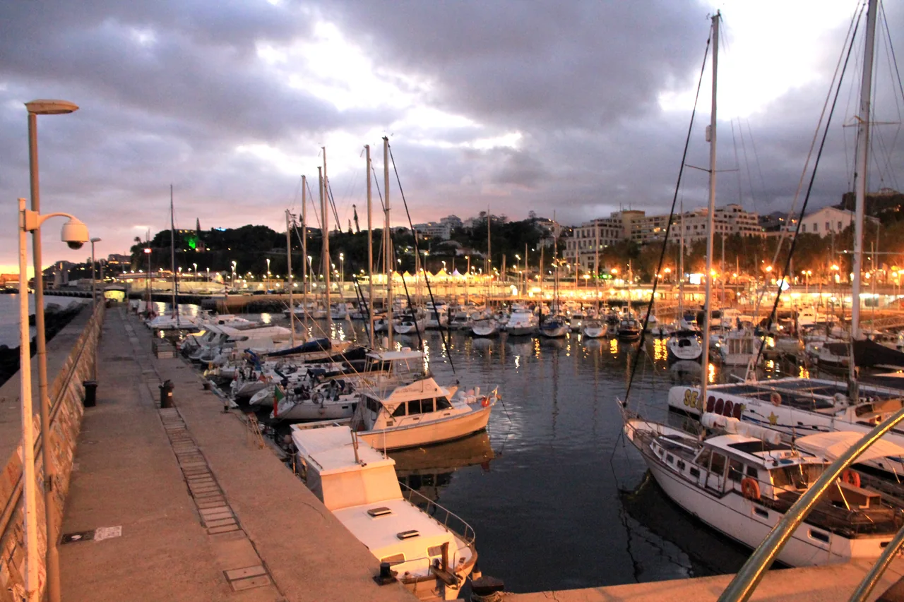
The waterfront, the city and a trip up into the green landscape give substance to a few days on Madeira before the next departure.
Funchal is on the south side of Madeira, with the marina right beside the city.
Azores · Horta on Faial
Pico behind the masts, painted boat names on the harbour walls and crews arriving from different corners of the ocean. Horta is a place to land – and stay a while.
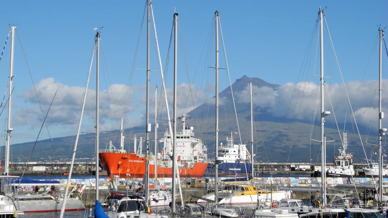
The paintings on the quay and Peter Café Sport are two places to begin a stay on Faial. More of the islands can form part of the stay before the next offshore leg.
Horta is on Faial; the mountain across the channel is on the neighbouring island of Pico.
It is possible to sail the whole circuit, choose a single leg or join the boat on Madeira or in the Azores.
The weather can shift the arrival date, so arrangements to meet on the islands need a little flexibility.