A day at La Bóbba
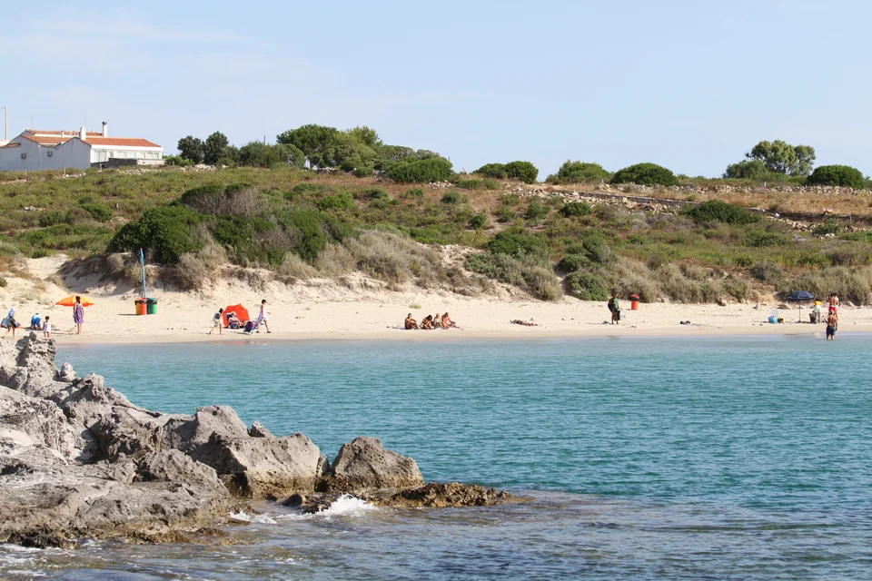
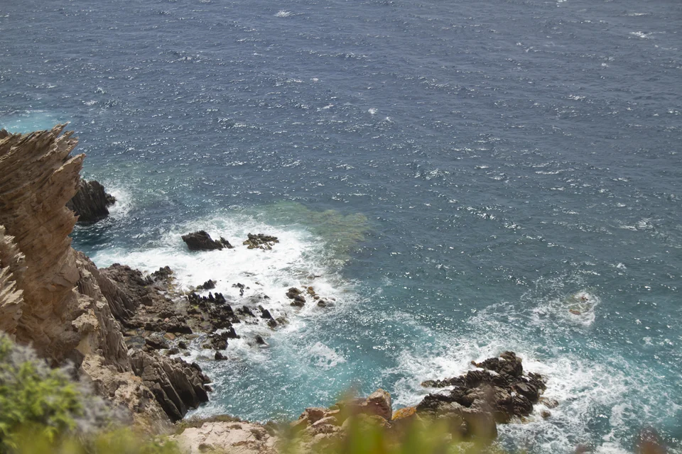
La Bóbba and Guidi lie on the south side of San Pietro and suit excursions ashore while the boat stays in harbour. The same goes for an outing to Capo Sandalo, overlooking the steeper west coast.
Carloforte · Calasetta · Cagliari
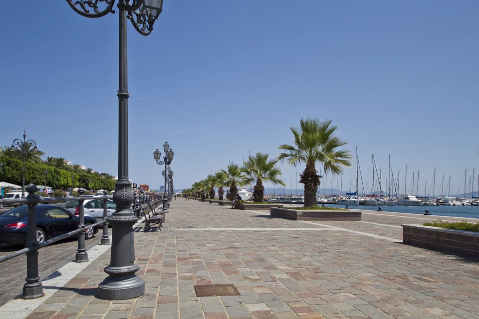
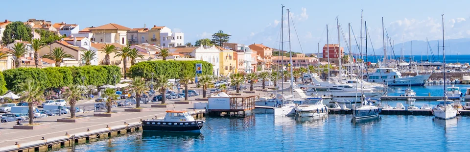
In Carloforte, the town lies just behind the boats. A stay here leaves time for meals along the harbour and trips to San Pietro’s beaches. Calasetta lies on the other side of the strait.
Seven–ten days around the two island towns leave room for sailing and days ashore. Two weeks allow more time in the same places.
The islands and the longer coast
Carloforte and Calasetta are about three nautical miles apart. The coast onwards towards Nora and Cagliari suits an optional extension within two–three weeks in total, with time to choose a few places along the way.
San Pietro
Focaccia from the bakery, a coffee and a wander through the streets behind the quay. For lunch, try fainò, the thin baked chickpea cake, or cascà, the town’s vegetable couscous. Tuna also belongs to the local cuisine.
A central berth makes it easy to go ashore several times a day.
La Bóbba and Guidi lie on the south side of San Pietro and suit excursions ashore while the boat stays in harbour. The same goes for an outing to Capo Sandalo, overlooking the steeper west coast.
An outing ashore offers a different view of the island while the boat stays put. Westerly winds and swell affect the choice of swimming spot; La Caletta on the west side is particularly exposed to the mistral.
Sant’Antioco
Calasetta is a small town of white houses, with Sottotorre, La Salina and Spiaggia Grande beaches nearby. How easily you can walk from the boat depends on the actual berth.
A day by car can take you to Sant’Antioco town and the Ferruccio Barreca museum, which tells the story of the ancient port town of Sulky. This is an excursion ashore: sailing-boat access through the shallow channels on the east side is unconfirmed.
Ferruccio Barreca museum ↗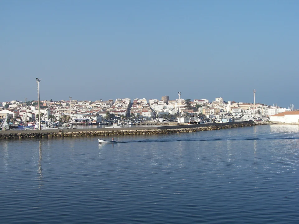
A possible longer stay
Porto Pino has a long sandy beach, pine woods and pale dunes. Malfatano and Chia offer more possibilities for beach days. These places can also be visited by car from a fixed base while the boat stays put.
Distances further along the coast are greater, and possible stops depend on weather and access. At Teulada, both permanent military restrictions and current exercise closures must inform the choice of leg.
Sailing-boat access through Porto Pino’s channel is unconfirmed. At Is Arenas Biancas lies the military-area boundary; use open, authorised access points and stay off the dunes.
Porto Pino ↗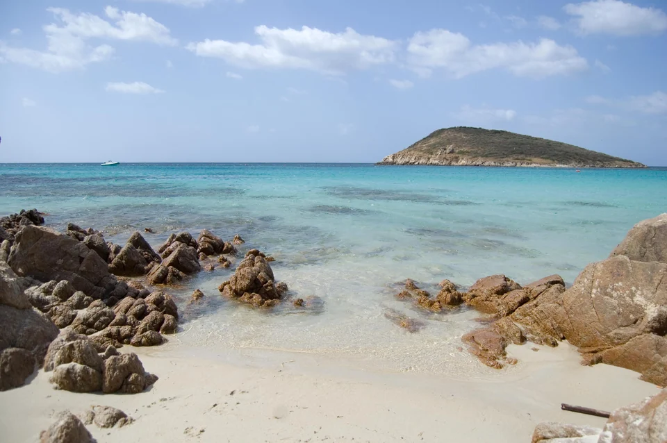
At Chia, anchoring in the Capo Spartivento protected area requires permission in the designated fields. Tuerredda has a separate beach reservation system. Neither automatically settles shore access by tender.
Capo Spartivento’s 2026 rules allow authorised anchoring in specified areas of zone C, with limited boat numbers. Permission and availability are different things. Anchoring is prohibited in the special reserve zone Bs.
Tuerredda’s beach reservation applies from 2 June to 15 October 2026.
Official rules and zone maps ↗Anchoring at Capo Spartivento ↗Tuerredda: beach reservations 2026 ↗Nora · Pula · Cagliari
Nora lies on a low headland outside Pula, with remains of the ancient town, theatre and baths close to the sea. A morning here can be followed by lunch in Pula. It works well as a drive from Cagliari; Nora Bay is not a confirmed berth or tender landing place.
In Cagliari, days can move between Marina’s restaurant streets, the views from Castello and Villanova’s narrower streets. Poetto beach is a separate excursion from the central harbours.
Cagliari and Pula can also make the whole holiday.
The site opens all year. Its website lists different summer closing times; the current visiting time must be confirmed with the ticket office. Guided tours are booked separately.
Nora: visits and tickets ↗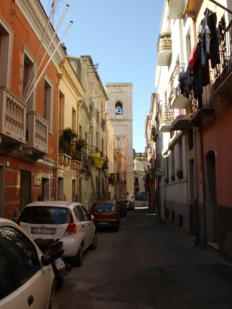
Arrival and boat care
June and September are possible months for a stay, but westerly winds and swell can still affect the berth choice.
For Calasetta, arranged road transport from Elmas airport is an option. For Carloforte, add the Delcomar ferry from Calasetta or Portovesme, then the journey to the chosen marina.
For Cagliari, the train ride itself from the airport takes about six minutes. Walking, waiting and getting from the station to the boat are additional.
A pleasant holiday base and a place for lifting or storage need not be the same harbour.
Keel support, cradle, berth and supervision terms must be clarified with each facility.
Marine Sifredi ↗Sailing Everlong describes a weatherbound stay in Carloforte, with daily life aboard and outings ashore. The older film gives an impression of what it can be like to remain in one place for a while.
Watch Sailing Everlong on YouTube · 25 min 12 sec ↗Published 15 April 2017.
The photographer, date taken and licence appear beside each image. The “Full photograph” link opens the largest local version.
Other harbour operators, transport and visitor sites are linked where discussed. The rules have been checked for 2026.
Coastline: Natural Earth 1:10m, version 5.1.1. Place locations: local tourist offices, Wikimedia and OpenStreetMap.
Natural Earth: freely available dataWikimedia: structured place data© OpenStreetMap contributors · ODbLMap design: Sophie · CC BY 4.0