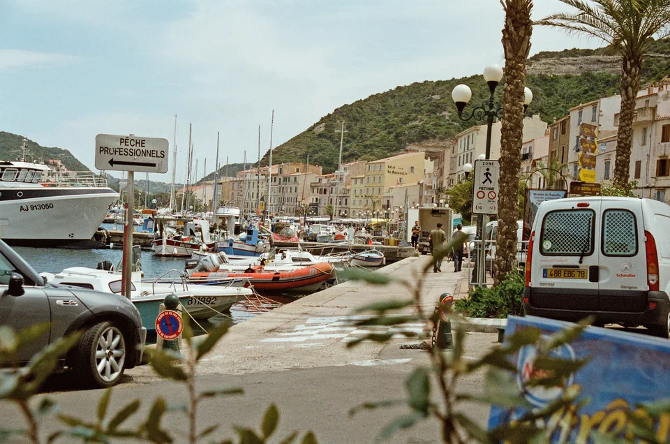
Photo: Herbert wie
Town life by the harbour
Bonifacio brings harbour, shops and town life close together. The way up to the old town is steep and has steps; access ashore depends on the berth.
Southern Corsica · Bonifacio · Lavezzi
White cliffs beneath the houses, narrow streets to explore and granite islands out in the blue. Days around Bonifacio can include swimming, picnics and evenings by the harbour.
Seven–ten days around Bonifacio and Lavezzi.
About two weeks with more bays and days ashore.
The area on the map
Bonifacio lies beside the strait facing Sardinia. The Lavezzi islands lie southeast of town, while Maora and Rondinara face the eastern side.
Fazzio and Paragan lie west of Bonifacio; Pertusatu lies to the southeast. Cavallo lies north of Lavezzu. Markers identify places, not entrances, landing places or protected zones.
Days in Bonifacio
Coffee by the water makes a fine start to a day in Bonifacio, before a walk up into town. In the evening, dinner along the quay or a meal aboard with provisions bought along the way is tempting.
Bonifacio brings harbour, shops and town life close together. The way up to the old town is steep and has steps; access ashore depends on the berth.
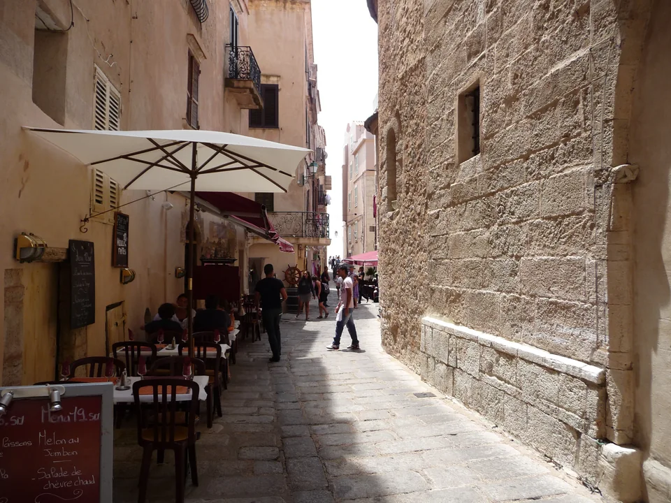
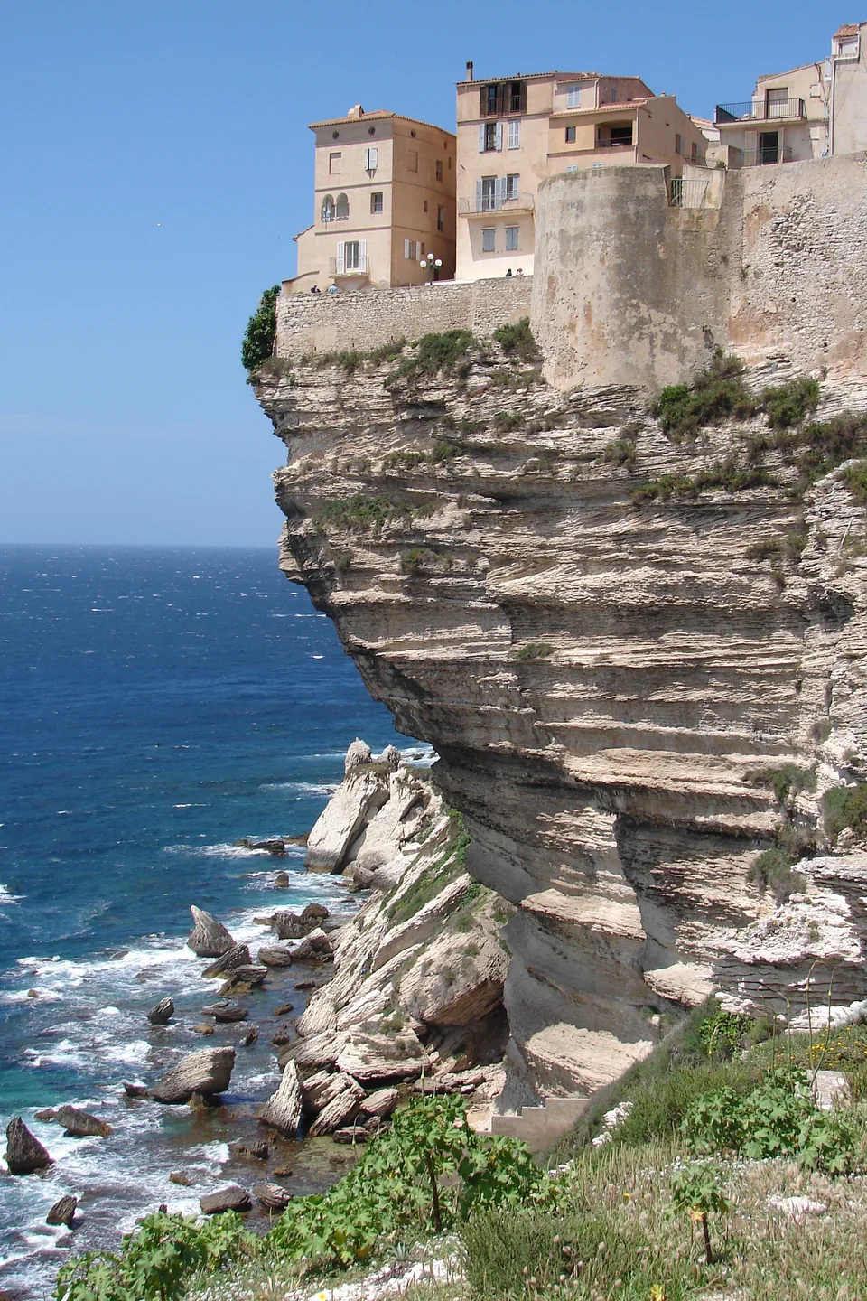
Up in town is the Bastion de l’Étendard, with streets between stone houses and cafés for breaks along the way. Corsican sheep’s or goat’s cheese, honey and fruit also make a good basis for a simple packed lunch.
Those wanting to get closer to the cliffs can choose the King of Aragon’s Stairway. Its steps are steep and uneven, and the full climb back up is part of the outing.
The King of Aragon’s Stairway requires closed, flat shoes. The visit includes both the descent and ascent. Visits to producers outside town must be arranged separately.
The bastion and King of Aragon’s Stairway ↗Cheese, honey and local producers ↗A day on Lavezzu
Lavezzu is the main visitor island in the Lavezzi archipelago. Paths wind among rounded rocks, with opportunities for swimming and picnics overlooking the sea.
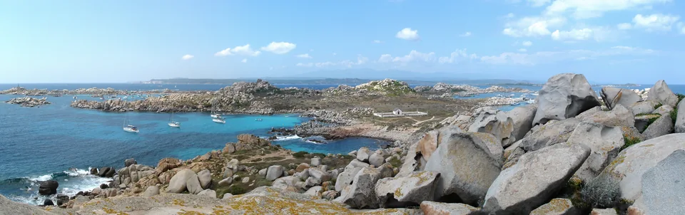
Bring drinking water, food and sun protection to Lavezzu; there are no restaurants, toilets or shady trees to rely on. Keep to marked paths and take rubbish back with you.
Visiting in your own boat depends on the weather and current anchoring and landing rules. A passenger excursion from Bonifacio is a separate alternative, with an arranged return.
The anchoring areas in AP 34/2025 have length limits; they are not visitor-buoy facilities. Bird protection zones under AP 235/2023 have their own restrictions on movement, anchoring and stays. The combined current rules, zone boundaries and shore access must be clarified for the day of the visit.
SPMB’s circuit 4 is the trip with an island visit and return. Circuit 3 runs without a stop.
SPMB: choose the trip with an island visit ↗Tourist office: on Lavezzu ↗AP 34/2025: local maritime rules (PDF) ↗Maritime authority: bird protection zones ↗Walks and swimming
The coastal paths offer views from land, and the beaches room for swimming or a book. Both make outings while the boat stays put.
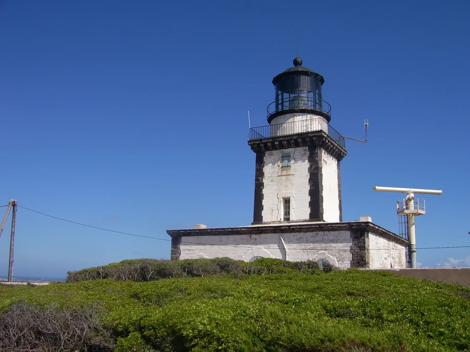
The walk from Campu Rumanilu towards Pertusatu gives views along the cliffs and across the strait. The tourist office describes about 6 km return and two hours from the walking area; getting there from the boat is additional.
Fazzio is another walking destination, with a small beach for a break. The walk takes about one hour each way from Bonifacio, or around half an hour from Paragan. The return is additional.
The paths are rocky, and heat, fire risk and any closures affect the choice of walk. The full Strada Vecia circuit is about 10 km / three hours; it is longer than the beach visit described here.
Pertusatu: walk description ↗Fazzio: beach access ↗The full Strada Vecia circuit ↗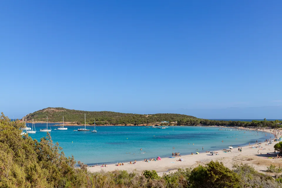
Rondinara has a long, curved beach and water in several shades of blue. Maora at Sant’Amanza offers another beach option. Both can be visited overland with transport there and back.
Rondinara has fixed sectors with anchoring bans and engine restrictions, and the bay does not shelter from every wind direction.
At Rondinara, legal boundaries and any small-boat landing must be clarified; conditions determine whether the bay suits a short stay or a night. The advertised buoys at Sant’Amanza cater for boats of 24–75 m. Anchoring a smaller boat must be investigated separately.
Tourist office: beaches ↗Sant’Amanza: the advertised buoy service ↗Rondinara: maritime rules in AP 34/2025 (PDF) ↗To the west, Roccapina’s granite lion and A Casa di Roccapina can be an outing by car. The visitor centre tells the story of the rock formations and the people who lived here. The short paths at the pass are a separate walking choice.
The paths at the pass are not a described route from the beach to the summit; landing from your own boat is also unconfirmed.
Conservatoire du littoral: Roccapina ↗Time and season
Bonifacio and Lavezzi, with town life, swimming and a walk along the cliffs.
More time for selected bays and days ashore, with boat stays adapted to available places.
Time to linger in favourite places. Sardinia is an option for continuing the trip.
June or September may suit. Island days depend on the weather; town life and walks ashore offer other ways to spend the stay.
Getting here
Figari airport is about 22 km from Bonifacio by road, with the option of pre-arranged transport on to the harbour.
Pre-booked road transport is the simplest option from Figari. Buses go via Porto-Vecchio; connections must fit the flight’s arrival.
The airport bus goes to Porto-Vecchio, with an onward connection towards Bonifacio.
Figari: transport from the airport ↗Airport bus to Porto-Vecchio ↗A Berlina: onward bus connections ↗Bonifacio has local service contacts; major work, storage and supervision must be arranged with a suitable yard.
Port Napoléon: a separate option on the mainland →The harbour’s service list provides contacts. Lifting, keel support, rig work, storage and boat supervision must be clarified with the workshop, together with scope and price.
Bonifacio: local service contacts ↗Sources accompany the individual places. The authorities’ summary of regulations and the map sources are also provided here.
The photographs were taken between 2007 and 2022.