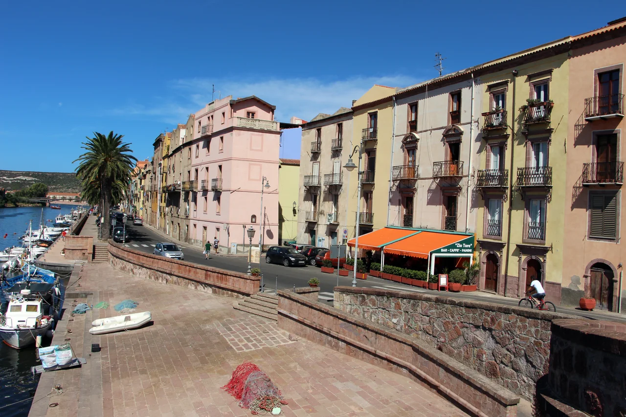
In Bosa, colourful houses line the river, with small town streets behind and the beach out by the sea. Further south, Cabras and Sinis have ancient ruins, lagoon food and pale quartz beaches.
Two possible stays of seven–ten days. Or a selection of the coast over two–three weeks.
Bosa lies north of the Sinis peninsula. Heading south, suitable bases become more widely spaced, with mining sites along the cliff coast and Carloforte out on San Pietro island.
1 · BosaThe old town lies upriver along the Temo. Bosa Marina beside the beach and Nautica Pinna inside the river share one coastal point on the map; they are different places.
2 · Sinis and CabrasCabras is the town for museums and food. Torregrande is a possible boat harbour, while Oristano town lies inland. See the detail map below.
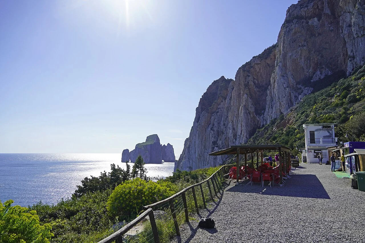
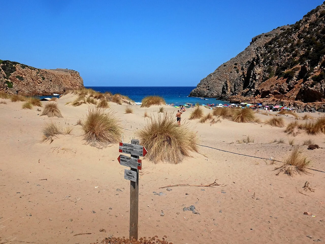
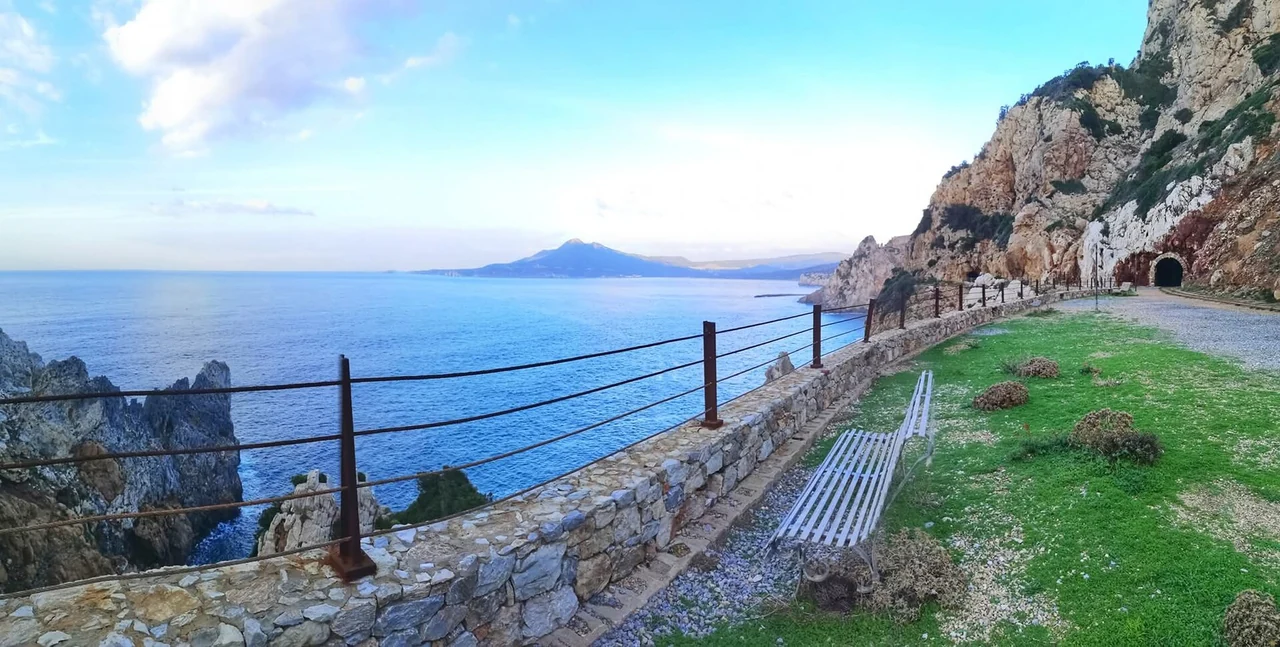
The mining coastBuggerru and Galleria Henry, Cala Domestica and Porto Flavia by Masua are destinations for outings ashore.
Carloforte and PortovesmeCarloforte can be a separate arrival or workshop stop. The ferry goes to Portovesme on the mainland.
Alghero is shown as a possible arrival point north of Bosa. Mal di Ventre is an optional island visit off Sinis.
A stay of seven–ten days
The riverfront, Sa Costa and the beach
The streets of Sa Costa and the walk up towards the castle can fill a morning before an evening dining in town. Bosa Marina offers a beach day, and the local Malvasia wine is something to try with a meal.
A holiday here can easily use the same base all week, with sailing outings when conditions suit. The old town and the harbour area at the river mouth are some distance apart; the berth determines the route to town and beach.
Municipal Sas Covas and the separate Bosa Marina concession are other facilities.
Another stay of seven–ten days
Cabras and Sinis
Here, the museum, ruins and beaches can each have their own day. Cabras has lagoon food, including bottarga — salted and dried fish roe often used with pasta.
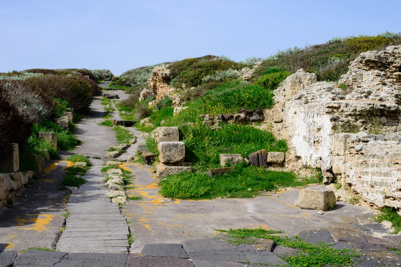
An ancient street among the ruins at Tharros · 28 April 2013.Photo: Norbert Nagel
The Giovanni Marongiu museum in Cabras displays the large stone figures from Mont’e Prama. The excavation site is elsewhere and is a separate visit.
Tharros lies out on the peninsula, with ancient streets and ruins close to the sea. Tharros and San Giovanni di Sinis can fill a day, with a break at the beach.
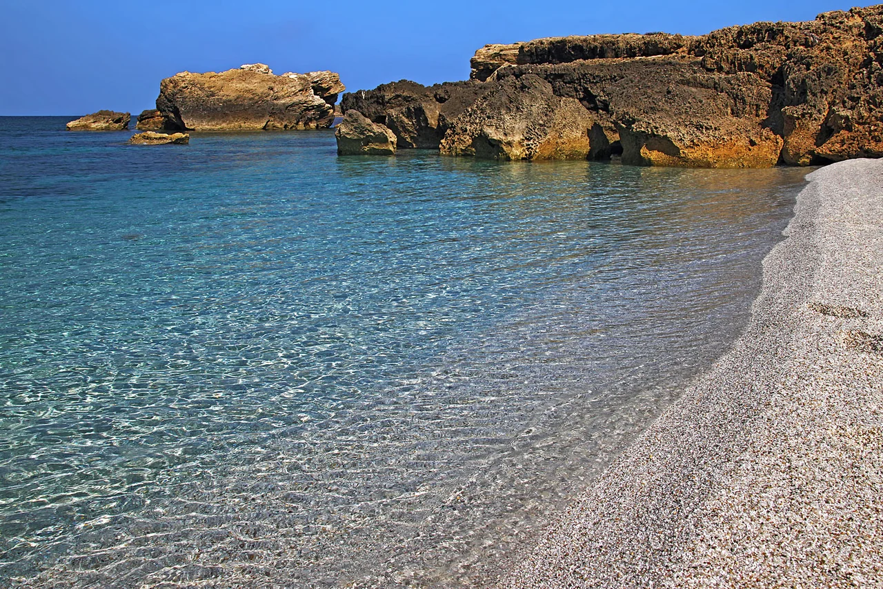
The beach is known for its small, pale quartz grains. It is a fine place to allow time for swimming and a quiet afternoon, reached by car from a base around Cabras.
Mal di Ventre as an option
The island off Sinis can add an extra day at sea. A visit depends on a suitable visitor buoy, conditions and the possibility of going ashore.
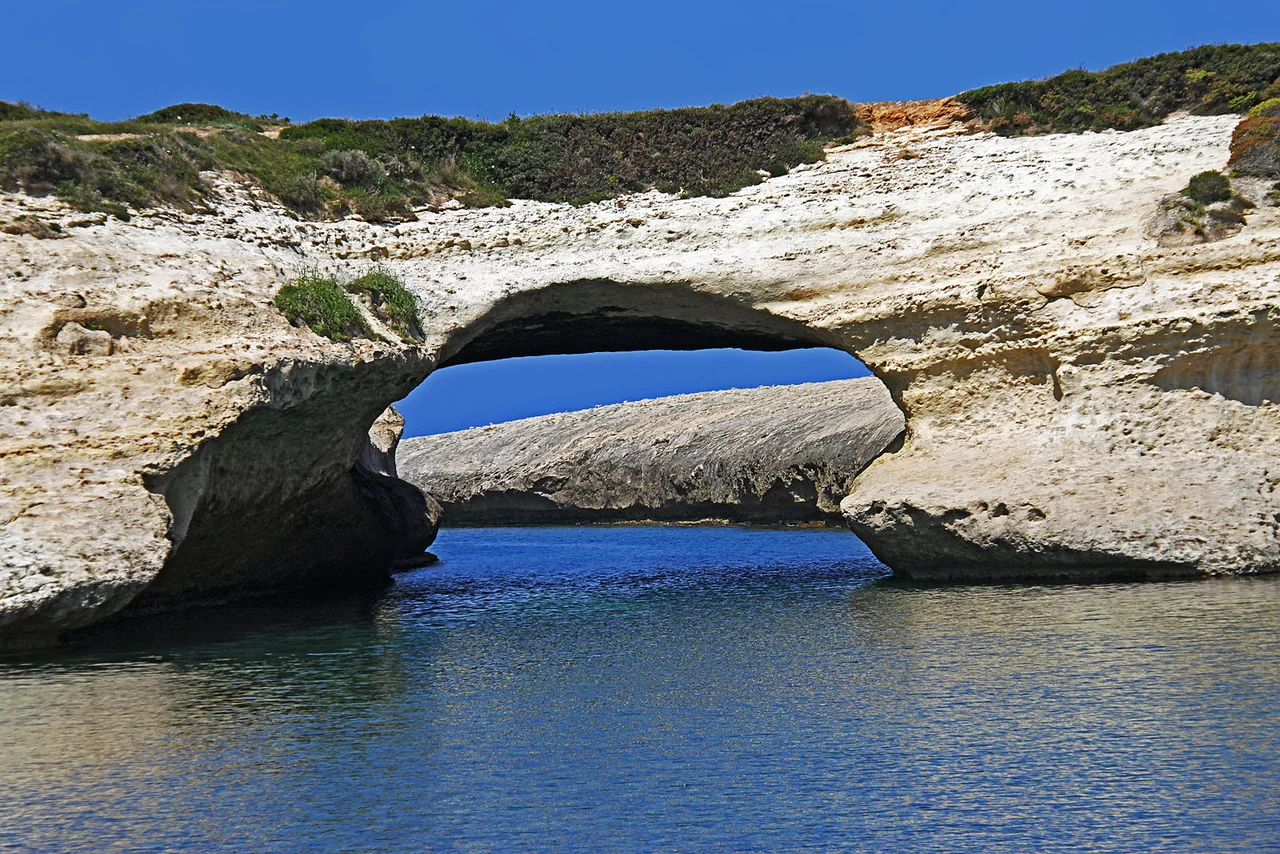
The limestone arch at S’Archittu · 29 April 2010.Photo: Vid Pogacnik
North of Sinis is the limestone arch that gave S’Archittu its name. It can be the destination of a separate coastal outing, with time to walk down to the water and see the arch from land.
Closer map: Sinis, Cabras and Torregrande
Cabras and Oristano are towns inland from the coast. Torregrande’s boat harbour lies closer to the sea. San Giovanni and Tharros share one place marker at the end of the peninsula.
The same map sources and credits as the overview map. Small harbour facilities, the river and lagoons are not drawn in this coarse land dataset.
Days ashore further south
Mine galleries and cliff coast
Around Buggerru and Masua are traces of the mining industry. One or two drives can suit a stay in the south, with time for both visits and the return.
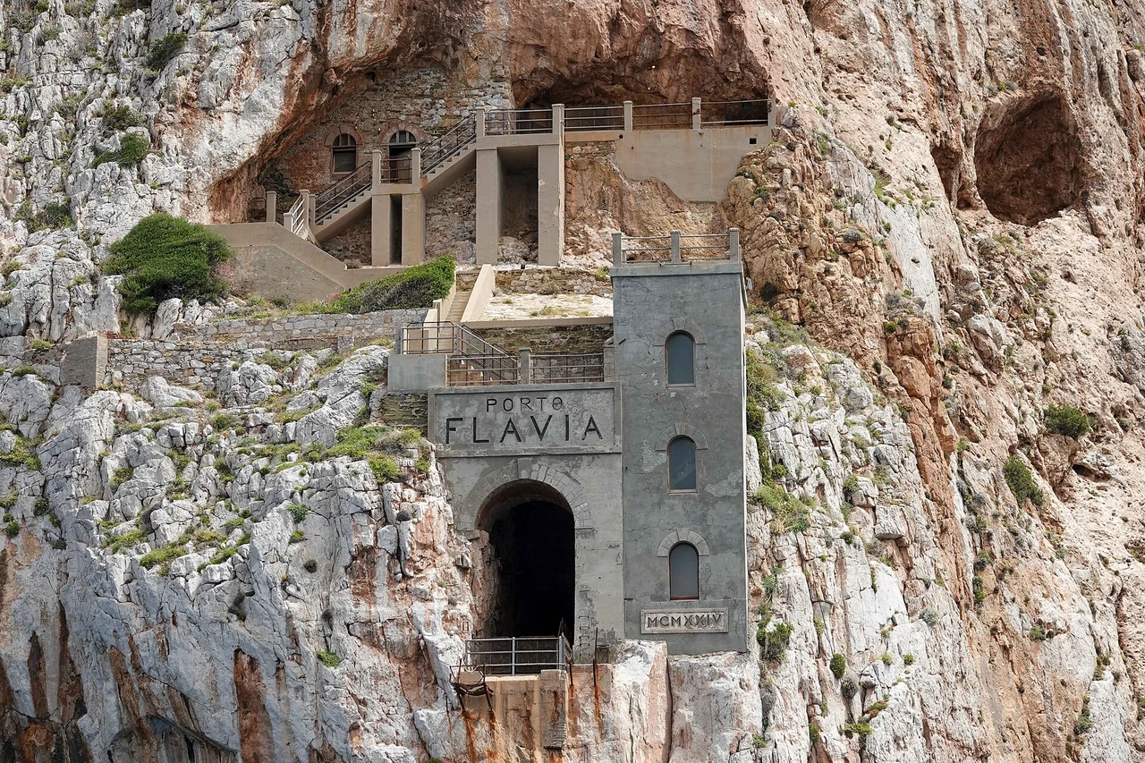
The visitor area at Porto Flavia, with Pan di Zucchero offshore · 6 April 2023.Photo: Allie_Caulfield
The former ore-loading facility is built into the cliff above the sea. A guided tour enters the galleries; the rocky island of Pan di Zucchero lies offshore.
Porto Flavia is a visitor site, not a marina. Book an available tour and bring closed shoes for the visit.
The old mine gallery retains traces of the railway and openings onto the cliff coast. Visits must be booked; the municipality directs visitors to the current visiting arrangements.
Carloforte can be a place to join the boat or prepare it before the next leg. From there, a trip to the mining coast requires a ferry to Portovesme and onward transport on the mainland.
Technical services at Marine Sifredi
Marine Sifredi lists a 90-tonne crane and boat services. This is a crane, not a travel lift. Lifting arrangements, keel support and any storage must be clarified with Sifredi; this information does not apply to Marinatour.
The town, beach and local sailing outings can fill a stay, with Pinna as a possible base if access suits.
Seven–ten days around Sinis
Cabras, Tharros, Is Arutas and an outing to S’Archittu. The berth determines whether this is a holiday aboard or a stay ashore.
Two–three weeks with a selection
The stays can be combined with a few days further south, allowing time for the longer coastal legs. Four weeks give more time in the same places.
Longer coastal legs separate the holiday areas. They can be sailed as separate relocation passages or included in the holiday when time and weather suit.
Coming aboard
Getting to the right base
Alghero is an option for Bosa, while Sinis can be reached via Cagliari Elmas.
To Bosa
Alghero airport, then arranged road transport to the chosen harbour. A direct bus all the way to Bosa is unconfirmed.
The photographer, date taken, source and licence appear beside each image. The maps use Natural Earth 1:10m, v5.1.1, with approximate place locations from local sources and Wikimedia.