North and East Corsica

Two holidays in Corsica

Bastia and the coastal paths at Macinaggio offer days of town life and walks by the sea. Further south, a separate holiday awaits with café tables in Porto-Vecchio and afternoons on the beach at Pinarellu.

Each area can fill seven–ten days, or around two weeks with longer stays in selected places.

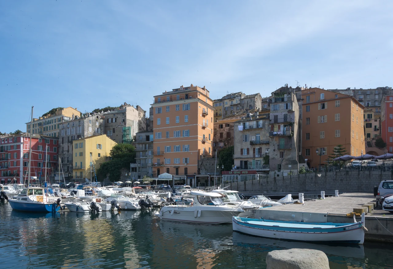
Small boats in front of tall pink, yellow and ochre houses at Bastia’s old harbour.
Vieux-Port in Bastia · 7 June 2014.
Photo: Isiwal

The area on the map

Two areas along the east coast

The two holiday areas are a fair distance apart. Between them, Taverna and Solenzara offer possible harbour stays, with villages, museums and river valleys within reach by car.

North and East CorsicaNorth-up overview map. Two holiday areas and the east coast between them. Lines connect names to places and are not sailing routes. North and East Corsica Two holiday areas and the east coast between them Macinaggio Bastia Bastia airport Taverna Cervione Diana Aléria Solenzara and the valley inland Pinarellu Porto-Vecchio Figari airport N 10 nm Places, not routes or berths. Map: Sophie · Natural Earth · place sources in the text
Natural Earth · Wikimedia · local harbours and tourist offices

With two–three weeks, a trip along more of the east coast is another possibility. It requires separate days for sailing between the areas, with stops adapted to the weather and available berths.

● Harbour■ Harbour with technical services● Excursion ashore◆ Airport

The northern holiday

A few days in Bastia

A morning at the market can lead to lunch aboard. The museum in the former governor’s palace is a destination for the afternoon, and the harbour a pleasant place to linger.

A town with three harbours

Vieux-Port is the old harbour beside the town centre. The ferry port lies further north, and Port Toga is a separate marina a little further north still. The harbour choice determines the walk to the boat and the final leg on arrival.

Food to take back to the boat

The market by Place du Marché is held at weekends. A day here can begin with shopping for lunch and continue with a stroll among the shops or a meal out.

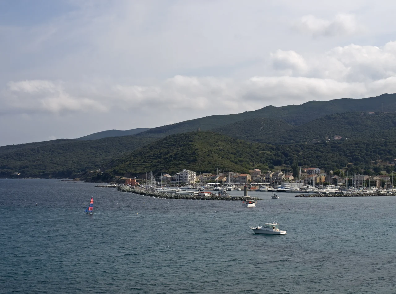
Blue-green water in front of Macinaggio harbour, with wooded hills behind the houses.
Macinaggio’s bay and harbour · 25 July 2014.
Photo: Ymblanter

Macinaggio

A coastal walk, then back to the harbour

From Macinaggio the coastal path follows the sea towards Tamarone, allowing a short walk or a day with a food stop while the boat stays put. Santa Maria and Barcaggio may suit a longer walk.

Finocchiarola, Giraglia and Capense are protected islands where ordinary landing is prohibited. The suggested walk follows the mainland.

The full Macinaggio–Centuri route is listed at 19 km and over eight hours. Shorter walks are also an option; heat, fire risk and closed paths may affect the choice. Any return boat depends on the service available that day.

Cap Corse: coastal path ↗
Map of the northern holiday and a possible visit to Saint-Florent
Bastia and Cap CorseNorth-up overview map. Town, harbour and walks on the mainland. Lines connect names to places and are not sailing routes. Bastia and Cap Corse Town, harbour and walks on the mainland Tamarone walk on the mainland Macinaggio Saint-Florent optional visit Bastia Bastia airport N 3 nm Places, not routes or berths. Map: Sophie · Natural Earth · place sources in the text
Natural Earth · Wikimedia · local harbours and tourist offices

Saint-Florent can be a drive with a stroll by the harbour and around the citadel. Sailing there around Cap Corse depends on the weather.

A separate holiday in the southeast

Porto-Vecchio and beach days

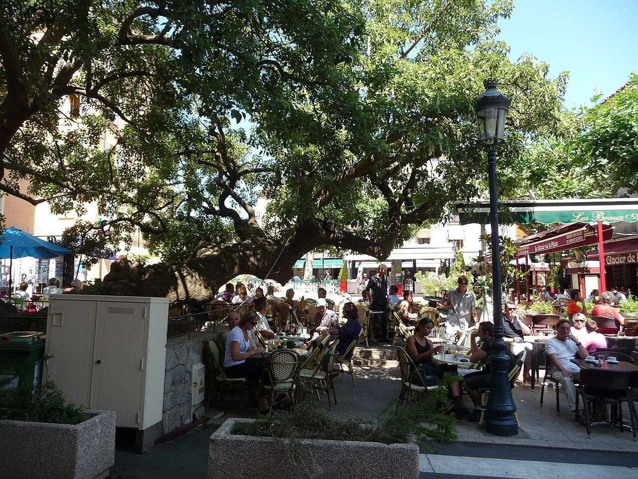
The old town, meals out and beach trips bring variety to days around Porto-Vecchio.

People at café tables beneath shady trees in Porto-Vecchio’s square.
Café tables on Place de la République in Porto-Vecchio · 2 July 2011.
Photo: Patrick Nouhailler

Porto-Vecchio

A table in the shade

The old town has shops, small streets and cafés to return to. The marina lies down by the water, inside the gulf. The free A Citadina bus connects harbour and town centre all year.

A Citadina: stops and times ↗
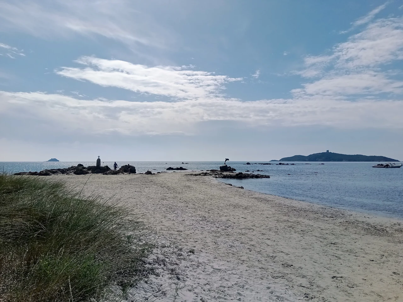
Pale sand and blue water at Pinarellu, with a few beachgoers and a low island in the background.
Pinarellu beach · 24 June 2022.
Photo: Rémih

Pinarellu / Pinarello

A beach day at Pinarellu

Pinarellu has a sandy beach, pine woods and places to eat in the village. A drive here can last until lunch or the whole day, while the boat stays in the marina.

The 2024 buoy inventory lists a 12-metre limit and stays of up to one day. Visiting with your own boat therefore depends on its length and the current arrangements; going to the beach by car is a separate alternative.

Pinarellu: village and transport ↗
Map of Porto-Vecchio, Pinarellu and Figari
Porto-Vecchio and PinarelluNorth-up overview map. Town life, beach trip and arrival. Lines connect names to places and are not sailing routes. Porto-Vecchio and Pinarellu Town life, beach trip and arrival Pinarellu beach trip from land Porto-Vecchio marina in the gulf Figari airport N 3 nm Places, not routes or berths. Map: Sophie · Natural Earth · place sources in the text
Natural Earth · Wikimedia · local harbours and tourist offices

The airport lies southwest of Porto-Vecchio. Pinarellu lies north of town. The beach marker shows a destination for an outing ashore.

Between the holiday areas

Harbour stays with a trip inland

Taverna and Solenzara offer harbour stays with trips to villages and river valleys by hire car. The outings can also be combined with boat care.

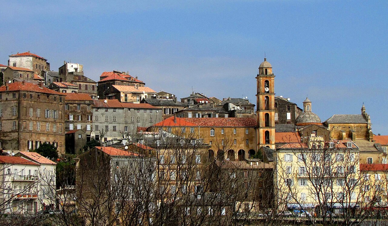
Cervione’s red-roofed houses around a yellow church and a tall bell tower.
Cervione’s houses and church tower · 18 March 2015.
Photo: Vulpachjinu

Taverna / Campoloro

Cervione sits up on the hillside

Cervione is an outing by car from Taverna. The village has a museum of everyday life and crafts, with kitchens, tools and workshops from earlier times.

A longer outing to Aléria and Diana

In Aléria, the archaeological museum is in Fort Matra. Another stop is a shellfish meal at a producer by the Diana lagoon. These are two visits by car, and the producer visit depends on who is receiving visitors that day.

Cervione museum ↗Aléria museum ↗Diana and its producers ↗
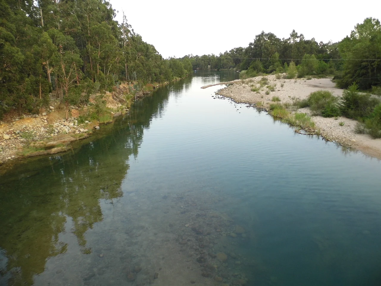
Green river water between rocky banks and dense woodland along the Solenzara.
The Solenzara river · 15 August 2013.
Photo: Mathieudu68

Solenzara

A day along the river

The road towards Bavella follows the valley inland from the coast. On the drive up, the mountains draw closer, with opportunities to stop by the river. Swimming depends on the conditions that day.

Coming aboard

Getting to Bastia or Porto-Vecchio

To Bastia or via Figari

Bastia has an airport and ferries from the mainland. For the southeastern holiday, Figari is a possible airport, with a bus to Porto-Vecchio.

From flight or ferry to the right harbour

Bastia’s airport bus goes to the railway station. Ferries use the commercial harbour, not Vieux-Port or Toga. The onward journey to the boat depends on its harbour.

Figari’s bus runs daily all year to Porto-Vecchio town.

Bastia: airport bus ↗Bastia: ferry port ↗Figari: bus to Porto-Vecchio ↗

Boat care before or after the holiday

Taverna offers lifting, storage and maintenance. Solenzara also has equipment for handling sailing boats.

June or September may suit. The east coast is not automatically sheltered from westerlies, and easterly winds can change plans. With a berth where the boat can stay, a day in town or a drive is an alternative.

Sources and photo credits Checked 18 September 2026

Harbour and transport links accompany the practical information.

Photo sources

The photographer, date taken, source and licence appear beside each image. The maps use Natural Earth 1:10m, v5.1.1, with place locations from Wikimedia and local harbours and tourist offices.

Natural Earth: publicly available map data ↗Map design: Sophie · CC BY 4.0 ↗